Steinheim in Echternach, Echternach, Luxembourg — Western Europe
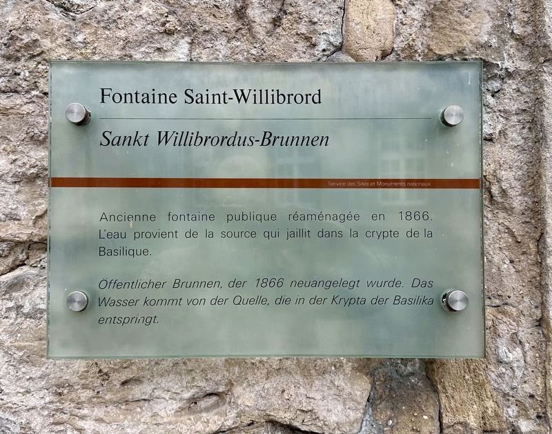
Fontaine Saint-Willibrord
⎯⎯⎯
Sankt Willibrordus-Brunnen
⎯⎯⎯
Saint Willibrord Fountain
Photographed by Andrew Ruppenstein, October 21, 2026
1. Saint Willibrord Fountain Marker

Public fountain, reconstructed in 1866. The water comes from a spring that originates in the crypt of the basilica.
Erected by Service des Sites et Monuments nationaux.
Topics. This historical marker is listed in this topic list: Man-Made Features. A significant historical year for this entry is 1866.
Location. 49° 48.781′ N, 6° 25.339′ E. Marker is in Echternach, Iechternach (Echternach). It is in Steinheim. It is at the intersection of Rue du Pont and Rue des Escoliers, on the right when traveling west on Rue du Pont. Touch for map. Marker is at or near this postal address: Rue du Pont 1, Echternach, Iechternach 6586, Luxembourg. Touch for directions.

Regionally, this marker is in the Guttland and in the Mullerthal. Globally, it is in Europe, the European Union, the Benelux Low Countries, the Schengen Area, Western Europe, and
this page online
Other nearby markers. At least 8 other markers are within 6 kilometers of this marker, measured as the crow flies: Victor Hugo (within shouting distance of this marker); First Electric Lighting (about 90 meters away, measured in a direct line); Neckel Welschbillig (approx. 0.4 kilometers away); Chapelle Notre-Dame / Muttergotteskappelle / Chapel of Notre Dame (approx. 0.8 kilometers away); Hill 313 Memorial (approx. 3.3 kilometers away); Das römische Weihedenkmal von Ernzen / The Consecrated Roman Monument of Ernzen (approx. 3.4 kilometers away in Germany); Raymond Petit (approx. 5.4 kilometers away); 10th US Armored Division Memorial (approx. 5.8 kilometers away). Touch for a list and map of all markers in Echternach.
Photographed by Andrew Ruppenstein, October 21, 2026
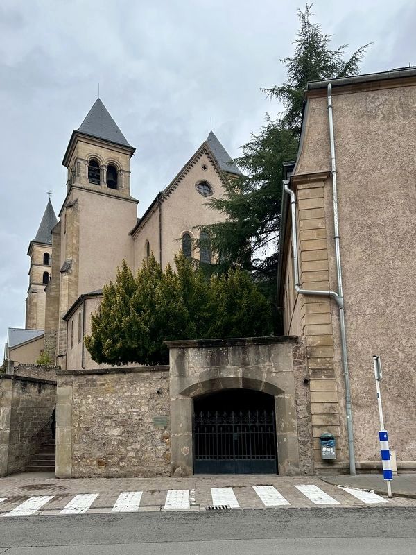
2. Saint Willibrord Fountain Marker - wide view
The marker is visible here just to the left of the gated-entrance to the fountain, with the basilica in the background.
Photographed by Andrew Ruppenstein, October 21, 2026
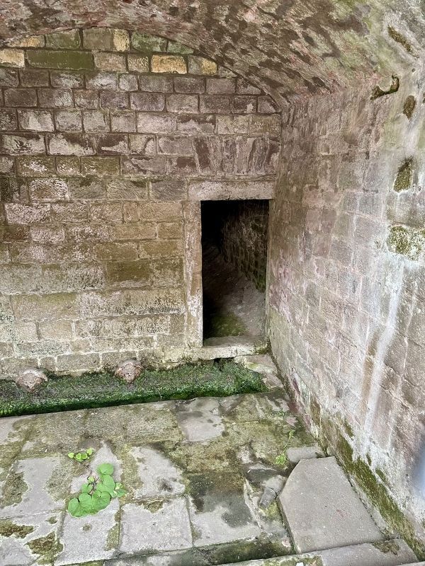
3. Saint Willibrord Fountain - interior, as seen through the gates
Photographed by Andrew Ruppenstein, October 21, 2026
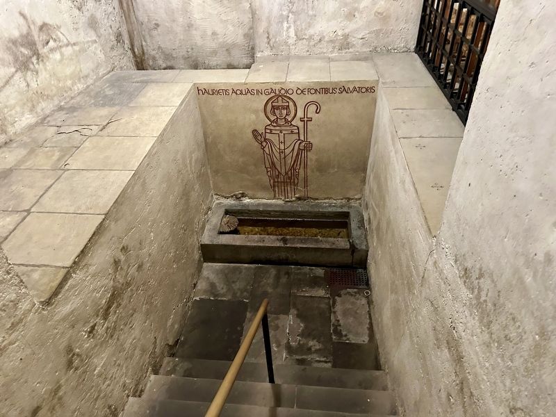
4. Saint Willibrord Fountain - source
Within the basilica, the spring that is the source of the fountain is found within the crypt, as seen here.
Credits. This page was last revised on October 31, 2026. It was originally submitted on October 31, 2026, by Andrew Ruppenstein of Lamorinda, California. This page has been viewed 5 times since then. Photos: 1, 2, 3, 4. submitted on October 31, 2026, by Andrew Ruppenstein of Lamorinda, California.
