Walnut Creek in Wayne County, North Carolina — The American South (South Atlantic)
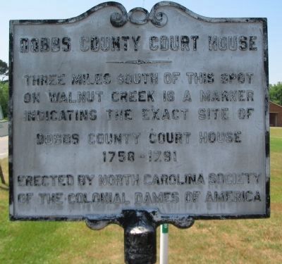
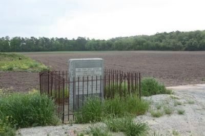
Dobbs County Court House
Erected by North Carolina Society of the Colonial Dames of America.
Topics and series. This historical marker is listed in these topic lists: Colonial Era • Government & Politics. In addition, it is included in the The Colonial Dames of America, National Society of series list.
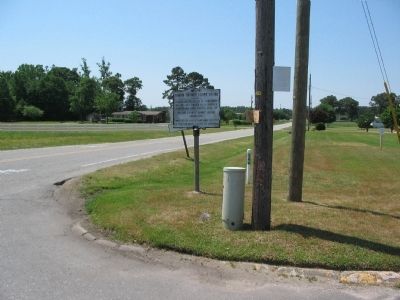
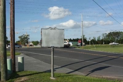
Location. 35° 19.033′ N, 77° 51.107′ W. Marker is in Walnut Creek, North Carolina, in Wayne County. Marker is at the intersection of South Beston Road and U.S. 70, on the right when traveling south on South Beston Road. Touch for map. Marker is in this post office area: Goldsboro NC 27534, United States of America. Touch for directions.
Other nearby markers. At least 8 other markers are within 9 miles of this marker, measured as the crow flies. Dobbs County (within shouting distance of this marker); a different marker also named Dobbs County Court House (approx. 2.3 miles away); James Y. Joyner (approx. 3.6 miles away); William Dunn Moseley (approx. 3.7 miles away); Engagement at Whitehall (approx. 6.1 miles away); The Battle of Whitehall (approx. 6.1 miles away); Seymour Johnson Air Force Base (approx. 6.9 miles away); Odd Fellows Home (approx. 8.6 miles away). Touch for a list and map of all markers in Walnut Creek.
Also see . . .
1. Dobbs County. Dobbs County ceased to exist after a reorganization in 1791. (Submitted on June 5, 2010, by Craig Swain of Leesburg, Virginia.)
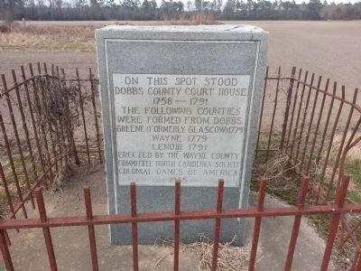
2. History of Lenoir County. Much of what was Dobbs County eventually became part of Lenoir County. This site includes a photo of the court house marker mentioned in the text of this marker. (Submitted on June 5, 2010, by Craig Swain of Leesburg, Virginia.)
Credits. This page was last revised on June 16, 2016. It was originally submitted on June 5, 2010, by Craig Swain of Leesburg, Virginia. This page has been viewed 1,091 times since then and 19 times this year. Photos: 1. submitted on June 5, 2010, by Craig Swain of Leesburg, Virginia. 2. submitted on March 1, 2014, by Melody Bennett of Goldsboro, North Carolina. 3. submitted on June 5, 2010, by Craig Swain of Leesburg, Virginia. 4, 5. submitted on April 26, 2013, by Mike Stroud of Bluffton, South Carolina.
