Port Royal in Montgomery County, Tennessee — The American South (East South Central)
…the acts of wicked men…
Photographed by Tom Bosse, October 2, 2026
1. …the acts of wicked men… Marker
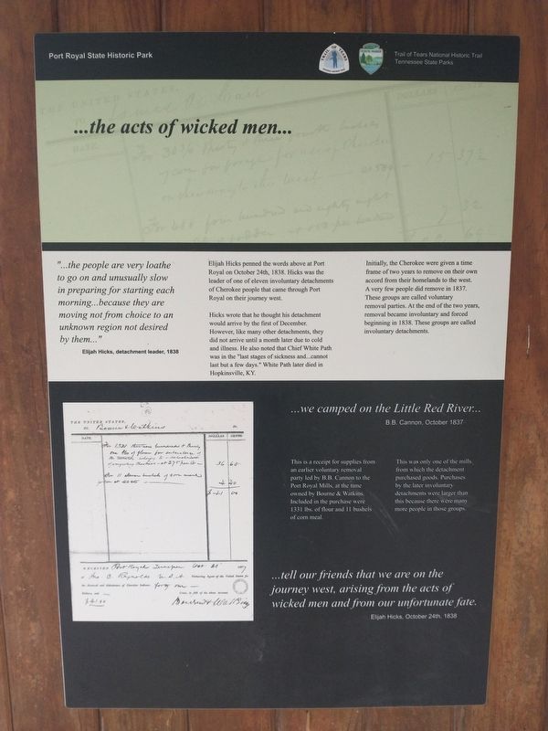
“…the people are very loathe to go on and unusually slow in preparing for starting each morning…because they are moving not from choice to an unknown region not desired by them…” Elijah Hicks, detachment leader, 1838.
Elijah Hicks penned the words above at Port Royal on October 24th, 1838. Hicks was the leader of one of eleven involuntary detachments of Cherokee people that came through Port Royal on their journey west.
Hicks wrote that he thought his detachment would arrive by the first of December. However, like many other detachments, they did not arrive until a month later due to cold and illness. He also noted that Chief White Path was in the “last stages of sickness and…cannot last but a few days.” White Path later died in Hopkinsville, KY.
Initially, the Cherokee were given a time frame of two years to remove on their own accord from their homelands to the west. A very few people did remove in 1837. These groups are called voluntary removal parties. At the end of two years, removal became involuntary and forced beginning in 1838. These groups are called involuntary detachments.
…we camped on the Little Red River…B.B. Cannon, October, 1837
This
this page online
This was only one of the mills, from which the detachment purchased goods. Purchases by the later involuntary detachments were larger than this because there were more people in those groups.
“…tell our friends that we are on the journey west, arising from the acts of wicked men and from our unfortunate fate…” Elijah Hicks, October 24th, 1838.
Erected by Port Royal State Historic Park, Trail of Tears National Historic Trail, Tennessee State Parks.
Topics and series. This historical marker is listed in this topic list: Indigenous Peoples and Communities. In addition, it is included in the Trail of Tears series list. A significant historical date for this entry is October 24, 1838.
Location. 36° 33.402′ N, 87° 8.572′ W. Marker is in Port Royal, Tennessee, in Montgomery County. It can be reached from the intersection of Port Royal Road (Tennessee Route 238) and Old Clarksville Springfield Road, on the left when traveling
Photographed by Tom Bosse, October 2, 2026
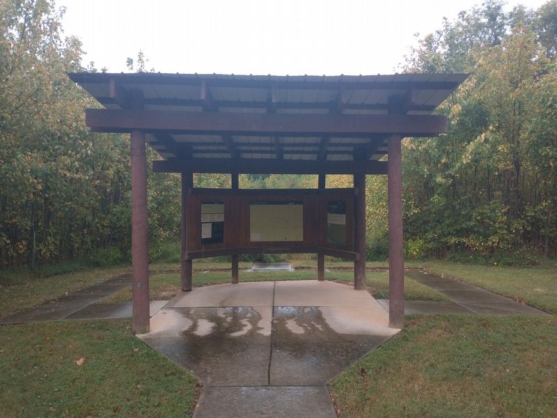
2. …the acts of wicked men… Marker
Marker is on the left.

Regionally, this marker is in Middle Tennessee and in the Highland Rim. It is also in the American South and specifically in the Upper South. Globally, it is in North America, the Western Hemisphere, the Western World, and the Anglosphere. Historically, it finds itself in what was once the territory of the Mississippian Culture, one of the Confederate States of America, and the Antebellum South.
Other nearby markers. At least 8 other markers are within walking distance of this marker: Exploring the Trail of Tears (here, next to this marker); Masonic Lodge & General Store (approx. 0.2 miles away); Port Royal (approx. 0.2 miles away); The Enslaved at Port Royal (approx. 0.2 miles away); The Town of Port Royal (approx. 0.2 miles away); a different marker also named The Town of Port Royal (approx. 0.2 miles away); General Store (approx. 0.2 miles away); Historic Port Royal (approx. 0.2 miles away). Touch for a list and map of all markers in Port
Photographed by Tom Bosse, October 2, 2026
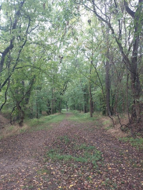
3. Trail of Tears Historic Road Bed
Another marker is no longer nearby. 1859 Masonic Lodge & General Store (was approx. 0.2 miles away but has been confirmed missing).
Photographed by Tom Bosse, October 2, 2026
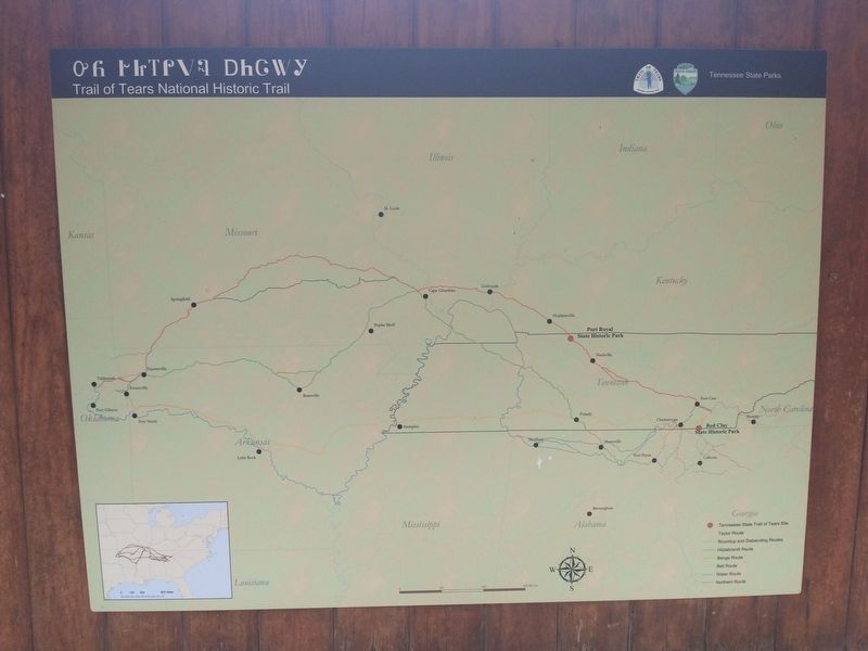
4. Trail of Tears Map
Photographed by Tom Bosse, October 2, 2026
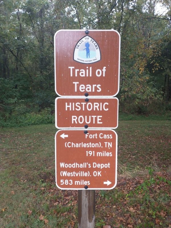
5. Trail of Tears Historic Route
Credits. This page was last revised on November 4, 2026. It was originally submitted on November 1, 2026, by Tom Bosse of Jefferson City, Tennessee. This page has been viewed 7 times since then. Photos: 1, 2, 3, 4, 5. submitted on November 1, 2026, by Tom Bosse of Jefferson City, Tennessee. • James Hulse was the editor who published this page.
