Ponca in Dixon County, Nebraska — The American Midwest (Upper Plains)
The Ponca Villages
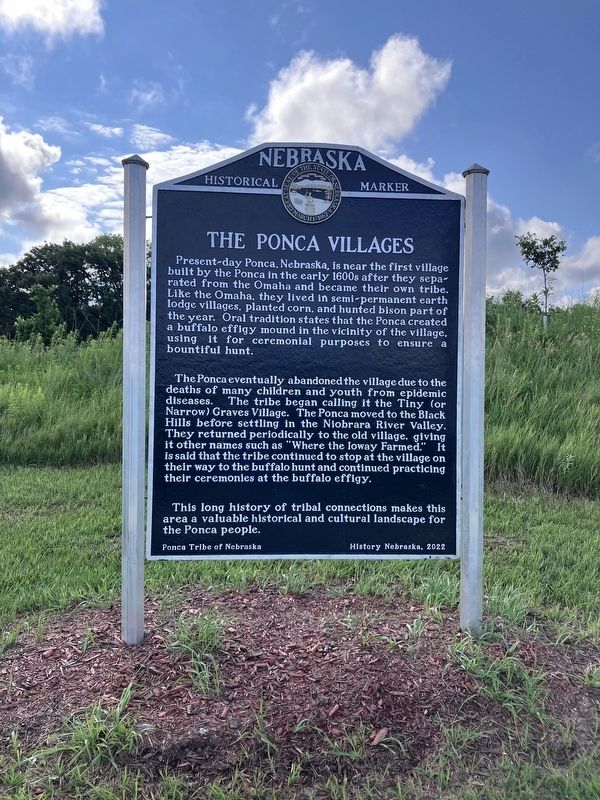
Photographed by Barry Swackhamer, July 17, 2025
1. The Ponca Villages Marker
The Ponca eventually abandoned the village due to the deaths of many children and young from epidemic diseases. The tribe began calling it the Tiny (or Narrow) Graves Village. The Ponca moved to the Black Hills before settling in the Niobrara River Valley. They returned periodically to the old village, giving it other names such as "Where the Ioway Farmed." It is said that the tribe continued to stop at the village on their way to the buffalo hunt and continued practicing their ceremonies at the buffalo effigy.
This long history of tribal connections makes this area a valuable historical and cultural landscape for the Ponca people.
Erected 2022 by Ponca Tribe of Nebraska, History Nebraska.
this page online
Topics. This historical marker is listed in this topic list: Indigenous Peoples and Communities.
Location. 42° 35.473′ N, 96° 42.72′ W. Marker is in Ponca, Nebraska, in Dixon County. It can be reached from State Highway 26E Spur near Highlands Road, on the right when traveling north. This marker is located in Ponca State Park near the Missouri River Outdoor Expo. Touch for map. Marker is at or near this postal address: 88090 Highway Spur 26E, Ponca NE 68770, United States of America. Touch for directions.

Regionally, this marker is in Eastern Nebraska. It is also in the American Midwest, in the Corn Belt, and on the prairies. Globally, it is in North America, the Western Hemisphere, the Western World, and the Anglosphere. Historically, it finds itself in what was once the Louisiana Purchase.
Other nearby markers. At least 8 other markers are within 2 miles of this marker, measured as the crow flies: Ponca State Park (approx. 0.4 miles away); The Lewis & Clark Expedition (approx. 0.6 miles away); A Touch of the East (approx. 0.6 miles away); Up the Missouri (approx. 0.6 miles
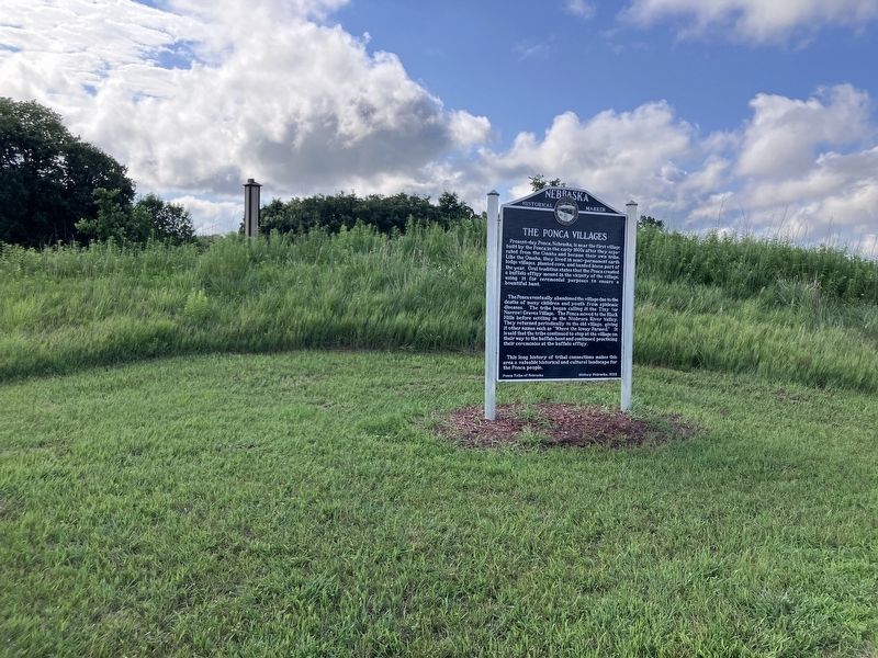
Photographed by Barry Swackhamer, July 17, 2025
2. The Ponca Villages Marker
Credits. This page was last revised on November 1, 2026. It was originally submitted on November 1, 2026, by Barry Swackhamer of Brentwood, California. This page has been viewed 7 times since then. Photos: 1, 2. submitted on November 1, 2026, by Barry Swackhamer of Brentwood, California.
