Ponca in Dixon County, Nebraska — The American Midwest (Upper Plains)
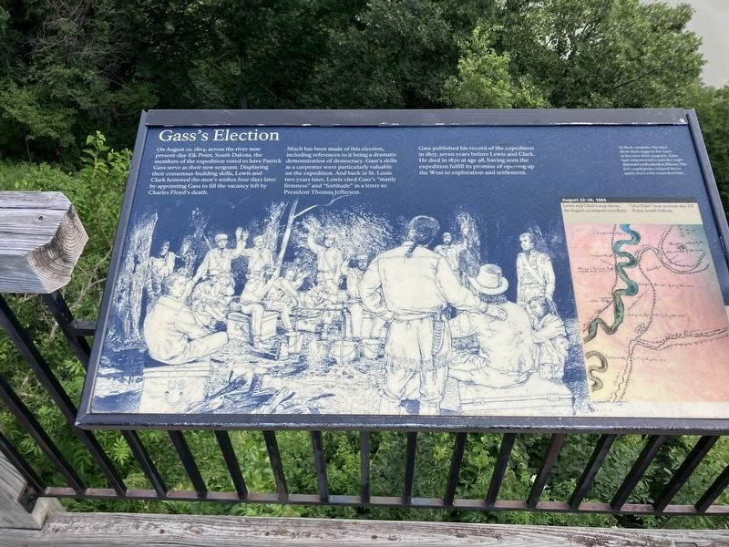
Gass's Election
Photographed by Barry Swackhamer, July 17, 2025
1. Gass's Election Marker
Caption: (upper right) At their campsite, the men showed their support for Gass to become their sergeant. Gass had volunteered to join the expedition at Fort Kaskaskia, Illinois. The fort commander refused his request, but Lewis overruled him.
Much has been made of this election, including referenced to it being a dramatic demonstration of democracy. Gass's skills as a carpenter were particularly valuable on the expedition. And back in St. Louis two years later, Lewis cited Gass's "manly firmness" and "fortitude" in a letter to Present Thomas Jefferson.
Gass published his record of the expedition in 1807, seven years before Lewis and Clark, He died in 1870 at age 98, having seen the expedition fulfill its promises of opening up the West to exploration and settlement.
Topics and series. This historical marker is listed in these topic lists: Exploration • Notable Events. In addition, it is included in the Lewis & Clark Expedition series list. A significant historical date for this entry is August 22, 1804.
Location. 42° 35.997′ N, 96° 42.648′ W.
this page online

Regionally, this marker is in Eastern Nebraska. It is also in the American Midwest, in the Corn Belt, and on the prairies. Globally, it is in North America, the Western Hemisphere, the Western World, and the Anglosphere. Historically, it finds itself in what was once the Louisiana Purchase.
Other nearby markers. At least 8 other markers are within 3 miles of this marker, measured as the crow flies: Up the Missouri (here, next to this marker); A Touch of the East (here, next to this marker); The Great Missouri River (here, next to this marker); The Lewis & Clark Expedition (within shouting distance of this marker); Ponca State Park (approx. 0.2 miles away); The Ponca Villages (approx. 0.6 miles away); Texas City, Dakota Territory (approx. 1.2 miles away in South Dakota); Ponca
Photographed by Barry Swackhamer, July 17, 2025
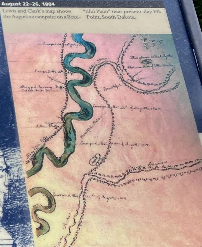
2. Gass's Election Marker (detail)
August 22-26, 1804
Lewis and Clark's map shows the August 22 campsite on a "Beautiful Plain" near present-day Elk Point, South Dakota.
Lewis and Clark's map shows the August 22 campsite on a "Beautiful Plain" near present-day Elk Point, South Dakota.
Photographed by Barry Swackhamer, July 17, 2025
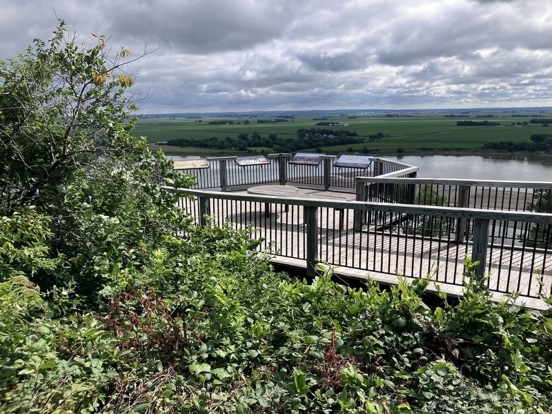
3. Gass's Election Marker
Credits. This page was last revised on November 1, 2026. It was originally submitted on November 1, 2026, by Barry Swackhamer of Brentwood, California. This page has been viewed 6 times since then. Photos: 1, 2, 3. submitted on November 1, 2026, by Barry Swackhamer of Brentwood, California.
