Near Ponca in Dixon County, Nebraska — The American Midwest (Upper Plains)
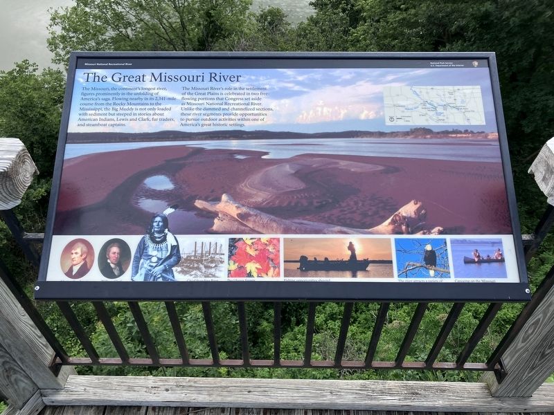
The Great Missouri River
Missouri National Recreation Service
Photographed by Barry Swackhamer, July 17, 2025
1. The Great Missouri River Marker
Captions: (Across the bottom, L to R) Meriwether Lewis, William Clark, Chief Standing Bear, Deciduous forests, Fishing opportunities abound, The river attracts a variety of, Canoeing on the Missouri.
The Missouri River's role in the settlement of the Great Plains is celebrated in two free flowing portions that Congress set aside as Missouri National Recreational River. Unlike the dammed and channelized sections, these river segments provide opportunities to pursue outdoor activities within one of America's great historic settings.
Erected by U.S. Department of the Interior , National Park Service.
Topics. This historical marker is listed in these topic lists: Exploration • Settlements & Settlers • Waterways & Vessels.
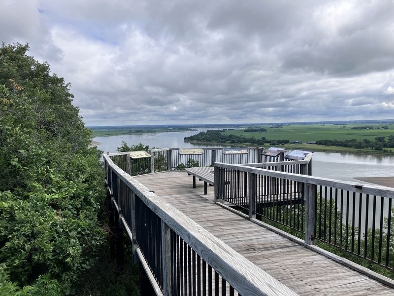
Location. 42° 35.997′ N, 96° 42.646′ W. Marker is near Ponca, Nebraska, in Dixon County. It can be reached from State Highway 26E Spur near Highland Road. This marker is located in Ponca State Park on the Three
this page online

Regionally, this marker is in Eastern Nebraska. It is also in the American Midwest, in the Corn Belt, and on the prairies. Globally, it is in North America, the Western Hemisphere, the Western World, and the Anglosphere. Historically, it finds itself in what was once the Louisiana Purchase.
Other nearby markers. At least 8 other markers are within 3 miles of this marker, measured as the crow flies: Up the Missouri (here, next to this marker); Gass's Election (here, next to this marker); A Touch of the East (here, next to this marker); The Lewis & Clark Expedition (within shouting distance of this marker); Ponca State Park (approx. 0.2 miles away); The Ponca Villages (approx. 0.6 miles away); Texas City, Dakota Territory (approx. 1.2 miles away in South Dakota); Ponca (approx. 2.6 miles away). Touch for a list and map of all markers in Ponca.
More about this marker. Duplicates of this marker may be found at several locations along the Missouri
Photographed by Barry Swackhamer, July 17, 2025
2. The Great Missouri River Marker
Credits. This page was last revised on November 1, 2026. It was originally submitted on November 1, 2026, by Barry Swackhamer of Brentwood, California. This page has been viewed 10 times since then. Photos: 1, 2. submitted on November 1, 2026, by Barry Swackhamer of Brentwood, California.
