
Near Cleveland in Greenville County, South Carolina — The American South (South Atlantic)
The Greenville Wayside Park
Photographed by Tom Bosse, October 24, 2026
1. The Greenville Wayside Park Marker
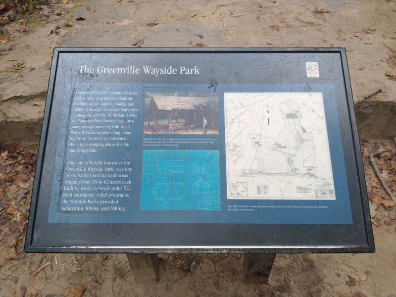
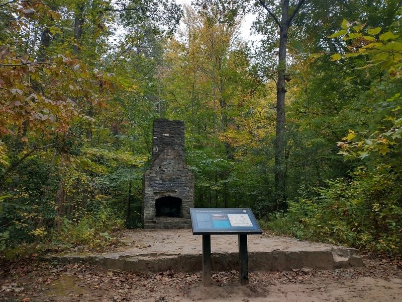
This site, officially known as the Greenville Wayside Park, was one of six South Carolina trial areas ranging rom 29 to 62 acres each. Built by workers hired under New Deal emergency relief programs, the Wayside Parks provided picnicking, hiking, and fishing.
[Caption]: Blueprints from 1937 give construction details for this picnic shelter. By 1970, when this photo was taken, the wooden beams and shingles were disintegrating. Today, hand-laid stonework is all that remains.
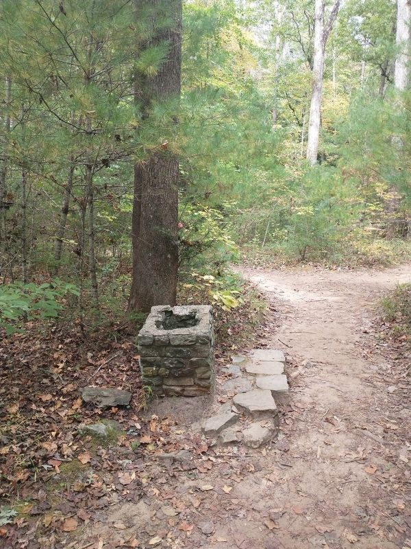
This map reveals the variety of structures built at the Greenville Wayside, including grills, drinking fountains, and restrooms.
Erected by South Carolina State Park Service.
Topics. This historical marker is listed in this topic list: Parks & Recreational Areas. A significant historical year for this entry is 1937.
Location. 35° 4.513′ N,
this page online

Regionally, this marker is in Upstate and in the Greater Greenville-Spartanburg Area. It is also in the American South, specifically in the Deep South, in Appalachia, and specifically in Southern Appalachia. Globally, it is in North America, the Western Hemisphere, the Western World, and the Anglosphere. Historically, it finds itself in what was once the original Cherokee Nation, the territory of the Mississippian Culture, one of the original Thirteen Colonies, one of the Confederate States of America, and the Antebellum South.
Other nearby markers. At least 8 other markers are within 5 miles of this marker, measured as the crow flies: Sweat Equity (approx. 1.1 miles away); Welcome to Caesars Head State Park (approx. 2.7 miles away); Point of View (approx. 3 miles away); Tommy Wyche (approx. 3 miles away); Raven Cliff Falls
Photographed by Tom Bosse, October 24, 2026
2. The Greenville Wayside Park Marker
Photographed by Tom Bosse, October 24, 2026
3. Remains of Drinking Fountain at Greenville Wayside Park
Credits. This page was last revised on November 4, 2026. It was originally submitted on November 1, 2026, by Tom Bosse of Jefferson City, Tennessee. This page has been viewed 6 times since then. Photos: 1, 2, 3. submitted on November 1, 2026, by Tom Bosse of Jefferson City, Tennessee. • Andrew Ruppenstein was the editor who published this page.
