
Near Pickens in Pickens County, South Carolina — The American South (South Atlantic)
Soapstone Church & School
Photographed by Tom Bosse, October 24, 2026
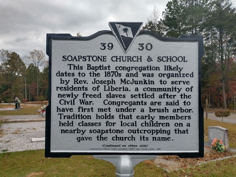
1. Soapstone Church & School Marker (Side 1)
This Baptist congregation likely dates to the 1870s and was organized by Rev. Joseph McJunkin to serve residents of Liberia, a community of newly freed slaves settled after the Civil War. Congregants are said to have first met under a brush arbor. Tradition holds that early members held classes for local children on a nearby soapstone outcropping that gave the church its name.
Erected 2022 by Pickens County Historical Society and Pickens County. (Marker Number 39 30.)
Topics. This historical marker is listed in these topic lists: African Americans • Cemeteries & Burial Sites • Education • Religion & Religious Structures. A significant historical year for this entry is 1870.
Location. 35° 0.849′ N,
this page online

Regionally, this marker is in andspecifically pstate, in the Foothills, in the Golden Corner. It is also in the American South, specifically in the Deep South, in Appalachia, and specifically in Southern Appalachia. Globally, it is in North America, the Western Hemisphere, the Western World, and the Anglosphere. Historically, it finds itself in what was once the original Cherokee Nation, the territory of the Mississippian Culture, one of the original Thirteen Colonies, one of the Confederate States of America, and the Antebellum South.
Other nearby markers. At least 8 other markers are within 4 miles of this marker, measured as the crow flies: Historic Soapstone Church Cemetery (about 600 feet away, measured in a direct line); Pumpkintown (approx. 1.4 miles away); Oolenoy Baptist Church (approx. 1.4 miles
Photographed by Tom Bosse, October 24, 2026
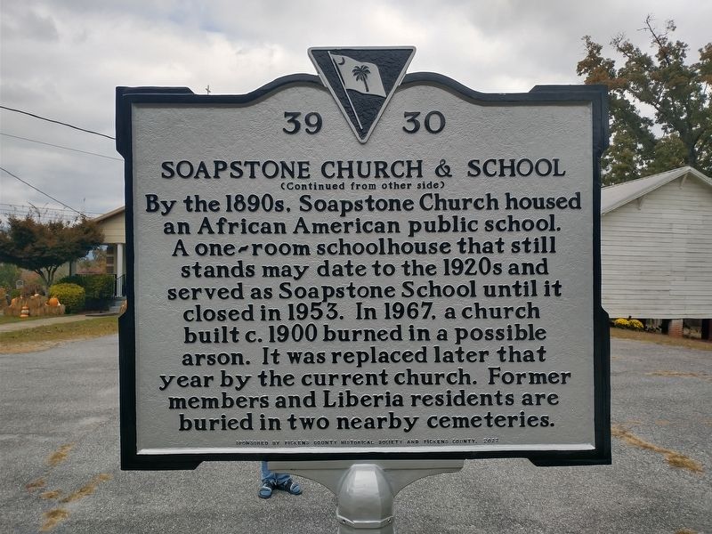
2. Soapstone Church & School Marker (Side 2)
Related markers. Click here for a list of markers that are related to this marker.
Photographed by Tom Bosse, October 24, 2026
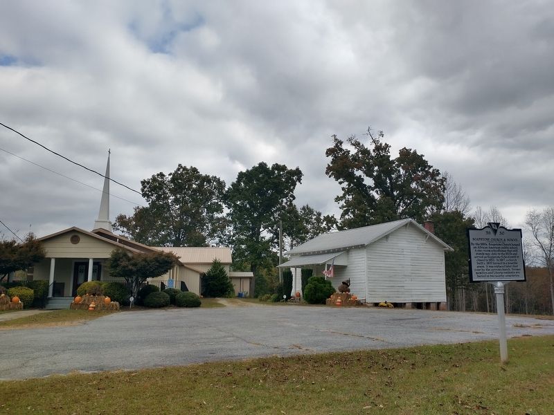
3. Soapstone Church & School Marker
Photographed by Tom Bosse, October 24, 2026
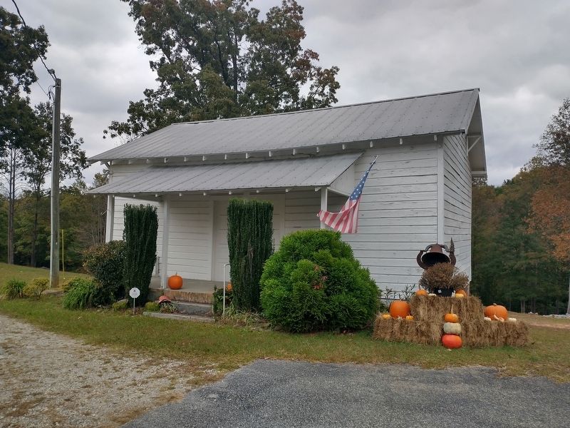
4. Soapstone School
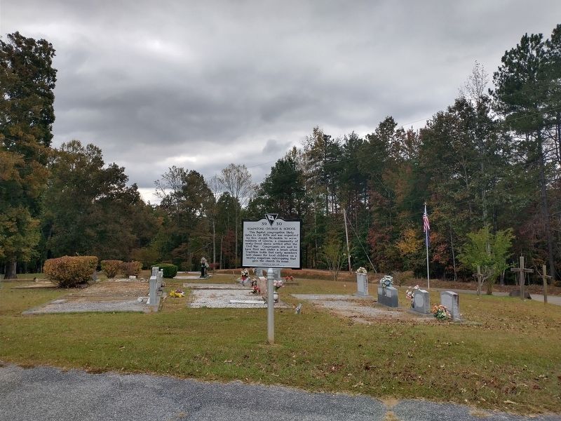
Photographed by Tom Bosse, October 24, 2026
5. Soapstone Church & School Marker
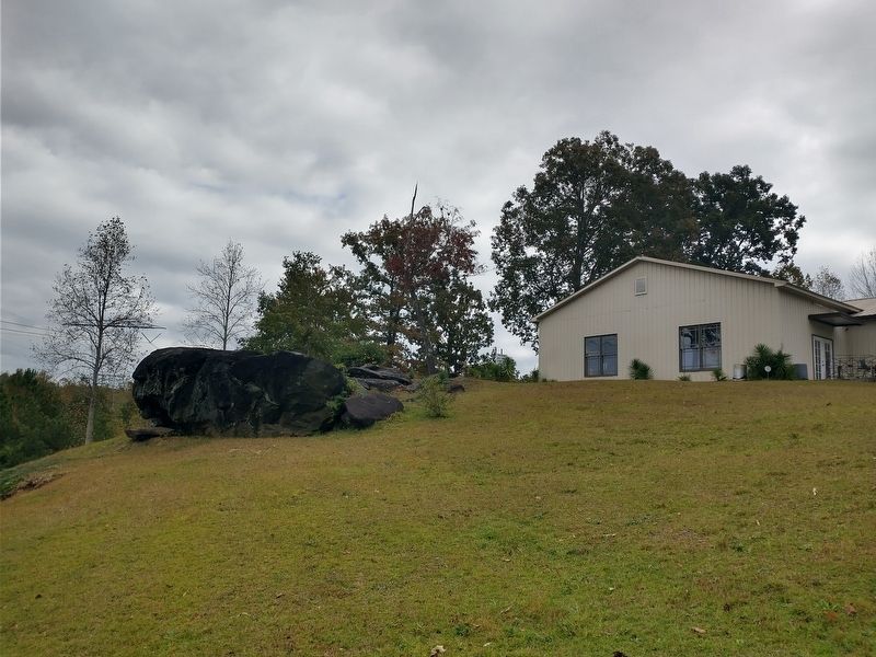
Photographed by Tom Bosse, October 24, 2026
6. Soapstone Outcropping
Credits. This page was last revised on November 8, 2026. It was originally submitted on November 1, 2026, by Tom Bosse of Jefferson City, Tennessee. This page has been viewed 11 times since then. Photos: 1, 2, 3, 4, 5, 6. submitted on November 1, 2026, by Tom Bosse of Jefferson City, Tennessee. • Bernard Fisher was the editor who published this page.
