
Near Pickens in Pickens County, South Carolina — The American South (South Atlantic)
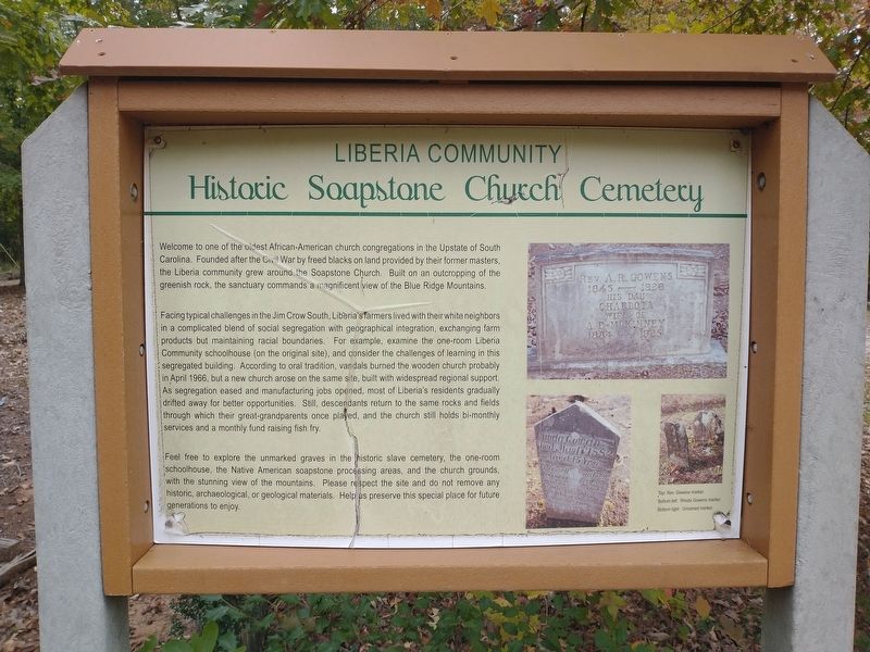
Historic Soapstone Church Cemetery
Liberia Community
Photographed by Tom Bosse, October 24, 2026
1. Liberia Community Historic Soapstone Church Cemetery Marker
Facing typical challenges in the Jim Crow South, Liberia's farers lived with their white neighbors in a complicated blend of social segregation with geographic integration, exchanging farm products but maintaining racial boundaries. For example, examine the one-room Liberia Community schoolhouse (on the original site), and consider the challenges of learning in this segregated building. According to oral tradition, vandals burned the wooden church probably in April 19, but a new church arose on the same site, built with widespread regional support. As segregation eased and manufacturing jobs opened, most of Liberia's residents gradually drifted away for better opportunities. Still, descendants return to the same rocks and fields through which their great-grandparents
this page online
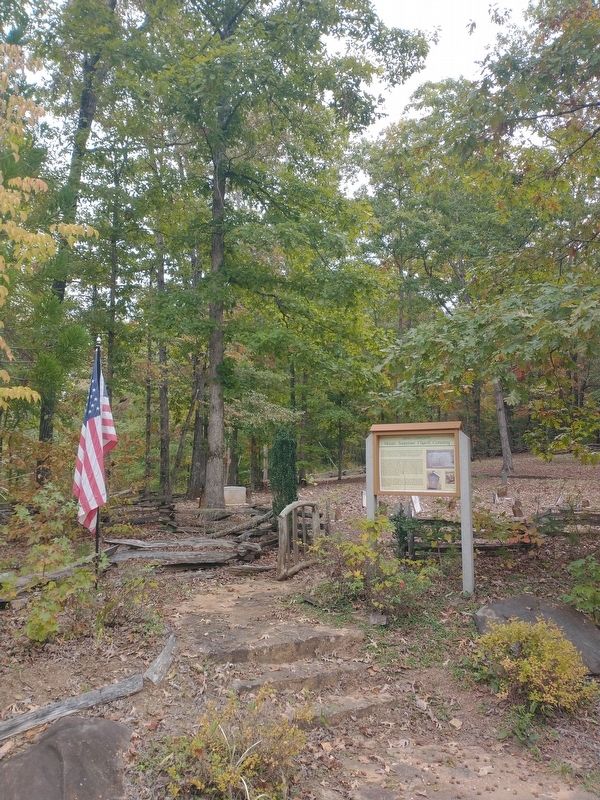
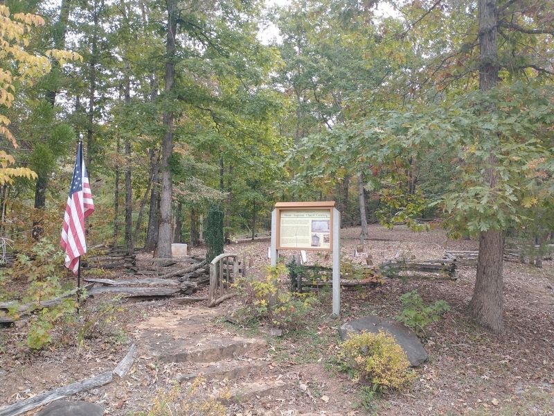
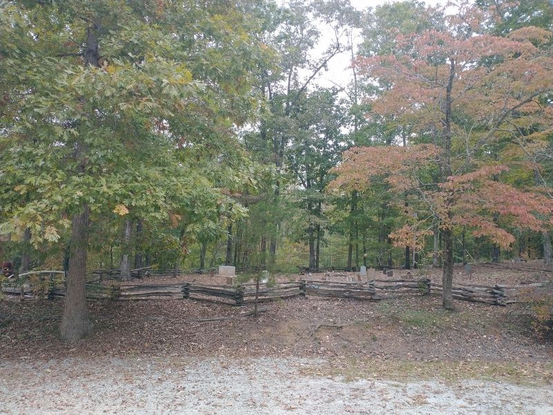
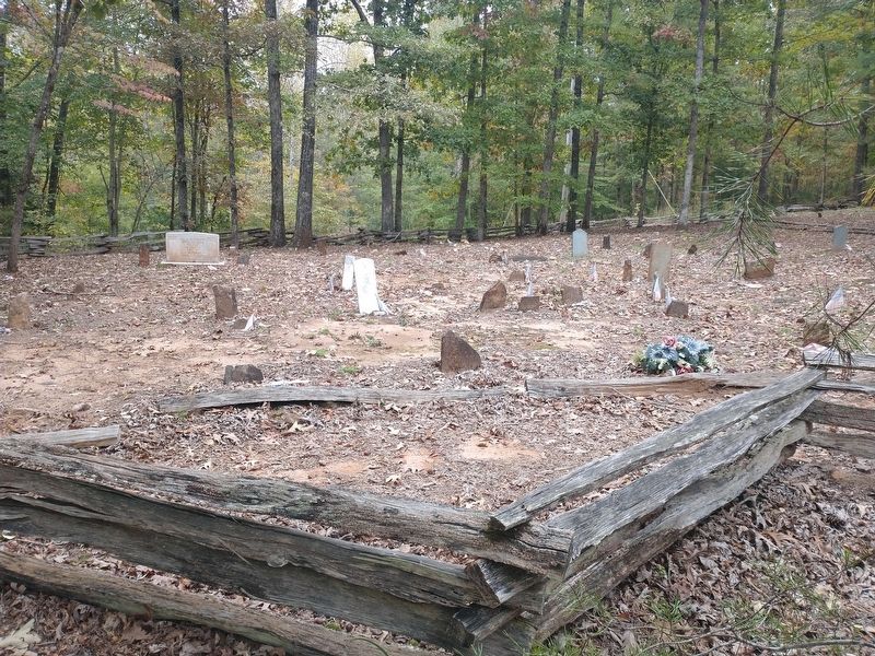
Feel free to explore the unmarked graves in the historic slave cemetery, the one-room schoolhouse, the Native American soapstone processing areas, ad the church grounds, with the stunning view of the mountains. Please respect the site and do not remove ay historic, archaeological, or geological materials. Help us preserve this special place for future generations to enjoy.
(captions)
Top: Rev. Gowens marker.
Bottom left: Rhoda Gowens marker.
Bottom right: Unnamed marker.
Topics. This historical marker is listed in these topic lists: African Americans • Cemeteries & Burial Sites • Religion & Religious Structures.
Location. 35° 0.778′ N, 82° 37.794′ W. Marker is near Pickens, South Carolina, in Pickens County. It can be reached from Flyroot Trail north of Liberia Road, on the right when traveling north. Touch for map. Marker is at or near this postal address: 296 Liberia Rd, Pickens SC 29671, United States of America. Touch for directions.

Regionally, this marker is in
Photographed by Tom Bosse, October 24, 2026
2. Liberia Community Historic Soapstone Church Cemetery Marker
Other nearby markers. At least 8 other markers are within 4 miles of this marker, measured as the crow flies: Soapstone Church & School (about 600 feet away, measured in a direct line); Oolenoy Baptist Church (approx. 1.4 miles away); Pumpkintown (approx. 1.4 miles away); Cornelius Keith (approx. 1.4 miles away); Cornelius Keith - 1715-1808 (approx. 1.7 miles away); Table Rock (approx. 3.4 miles away); Grandmama’s Legacy of Flowers (approx. 3.4 miles away); Granite and Gravity (approx. 3.6 miles away). Touch for a list and map of all markers in Pickens.
Related markers. Click here for a list of markers that
Photographed by Tom Bosse, October 24, 2026
3. Liberia Community Historic Soapstone Church Cemetery Marker
Also see . . . Easy Self Guided Tour of the Grounds at Soapstone Baptist Church. (Submitted on November 1, 2026, by Tom Bosse of Jefferson City, Tennessee.)
Photographed by Tom Bosse, October 24, 2026
4. Liberia Community Historic Soapstone Church Cemetery
Photographed by Tom Bosse, October 24, 2026
5. Liberia Community Historic Soapstone Church Cemetery
Credits. This page was last revised on November 7, 2026. It was originally submitted on November 1, 2026, by Tom Bosse of Jefferson City, Tennessee. This page has been viewed 12 times since then. Photos: 1, 2, 3, 4, 5. submitted on November 1, 2026, by Tom Bosse of Jefferson City, Tennessee. • Bernard Fisher was the editor who published this page.
