Midlothian in Chesterfield County, Virginia — The American South (Mid-Atlantic)
Mid-Lothian Mines and Rail Roads
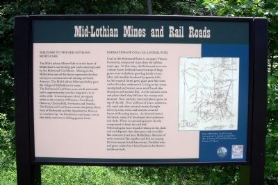
The Mid-Lothian Mines Park is in the heart of Midlothianís coal mining past and is encompassed by the Richmond Coal Basin. Mining in the Midlothian area of the Basin represents the first attempt at commercial coal mining in North America. The Mid-Lothian Mines probably gave the village of Midlothian its name. The Richmond Coal Basin runs north and south and is approximately 33 miles long and 5 to 10 miles wide. It encompasses about 150 square miles in the counties of Henrico, Goochland, Hanover, Chesterfield, Powhatan and Amelia. The Richmond Coal Basin crosses the James River west of Richmond and the Appomattox River at its southern tip. Its bituminous coal seam, 5 to 50 feet thick, rests on an oblong granite basin.
Formation of Coal as a Fossil Fuel
Coal in the Richmond Basin is an upper Triassic formation, compacted more than 160 million years ago. At that time, the Richmond area was a dense warm lowland forest/swamp of huge green trees and plants growing beside rivers, lakes and marshes bordered by granite hills. In this tropical forest grew giant pine-like trees with tall rushes underneath. Living in the warm swampland and waters were small lizard-like dinosaurs and ancient fish. As the animals, trees and plants died, they fell into the swamp and decayed. New animals, trees and plants grew on top of the old. Over millions of years, sediment, silt, sand and other mineral matter brought down by rain, rivers and streams covered layers of decaying matter. As mineral matter increased, some of it developed into sandstone and shale. These accumulating layers slowly compressed to form the coal bed. Paleontologists have found evidence in the shale and coal deposits that dinosaurs and crocodile-like creatures lived near Midlothian. Remains of early mammal-like reptiles and fish are among the most recent fossil discoveries. Petrified trees and giant rushes have been found in the Basinís sandstone beds.
Erected 2009 by Chesterfield Heritage Alliance, Chesterfield County Parks & Recreation.
Topics. This historical marker is listed in these topic lists: Industry & Commerce • Natural Resources • Railroads & Streetcars.
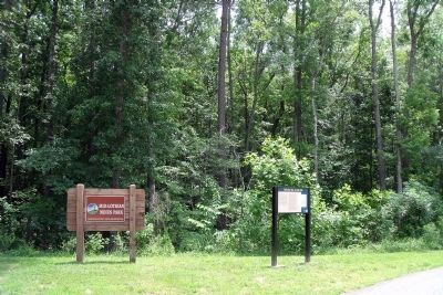
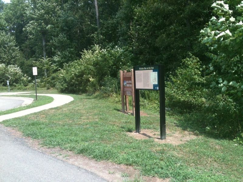
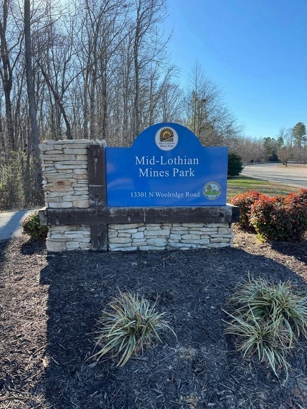
Location. 37° 29.694′ N, 77° 38.563′ W. Marker is in Midlothian, Virginia, in Chesterfield County. Marker can be reached from North Woolridge Road, 0.3 miles south of Walton Park Road. This marker is located along the multi-use trail in the Mid-Lothian Mines Park. Touch for map. Marker is at or near this postal address: 13301 North Woolridge Road, Midlothian VA 23114, United States of America. Touch for directions.
Other nearby markers. At least 8 other markers are within walking
distance of this marker. Headstock (about 300 feet away, measured in a direct line); The Bermuda Hundred Campaign (about 300 feet away); From Mines to Market (about 400 feet away); a different marker also named Mid-Lothian Mines and Rail Roads (approx. ľ mile away); a different marker also named Mid-Lothian Mines and Rail Roads (approx. 0.3 miles away); a different marker also named Mid-Lothian Mines and Rail Roads (approx. 0.3 miles away); a different marker also named Mid-Lothian Mines and Rail Roads (approx. half a mile away); Midlothian Coal Mines (approx. 0.6 miles away). Touch for a list and map of all markers in Midlothian.
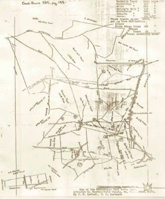
More about this marker. On the right is a "Map of Midlothian Coal Co.ís land. Surveyed by J.E. LaPrade in September 1860. Courtesy of Chesterfield Historical Society of Virginia."
Also see . . . Mid-Lothian Mines Park. Website homepage (Submitted on June 5, 2010, by Bernard Fisher of Richmond, Virginia.)
Credits. This page was last revised on December 27, 2023. It was originally submitted on June 5, 2010, by Bernard Fisher of Richmond, Virginia. This page has been viewed 1,461 times since then and 34 times this year. Photos: 1, 2, 3. submitted on June 5, 2010, by Bernard Fisher of Richmond, Virginia. 4. submitted on January 12, 2022, by Adam Margolis of Mission Viejo, California. 5. submitted on December 26, 2023, by Brandon D Cross of Flagler Beach, Florida.
