King George in King George County, Virginia — The American South (Mid-Atlantic)
Cleydael
Insulting Booth
| — | John Wilkes Booth - Chasing Lincoln's Assassin | — |
Photographed by Evan Dwyer, October 31, 2026
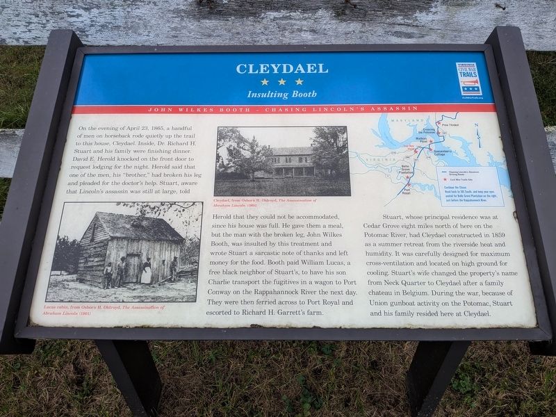
1. Cleydael Marker
Stuart, whose principal residence was at Cedar Grove eight miles north of here on the Potomac River, had Cleydael constructed in 1859 as a summer retreat from the riverside heat and humidity. It was carefully
this page online
Photo Captions:
Cleydael, from Osborn H. Oldroyd, The Assassination of Abraham Lincoln (1901)
Lucas cabin, from Osborn H. Oldroyd, The Assassination of Abraham Lincoln (1901)
Continue the Chase:
Head back to 301 South, and keep your eyes peeled for Belle Grove Plantation on the right, just before the Rappahannock River.
Erected by Virginia Civil War Trails.
Topics and series. This historical marker is listed in this topic list: War, US Civil. In addition, it is included in the Virginia Civil War Trails series list. A significant historical date for this entry is April 23, 1865.
Location. 38° 18.853′ N, 77° 7.999′ W. Marker is in King George, Virginia, in King George County. It is on Peppermill Road 0.1 miles south of Cleydael Boulevard, on the right when traveling south. Touch for map. Marker is at or near this postal address: 7144 Peppermill
Photographed by Evan Dwyer, October 31, 2026
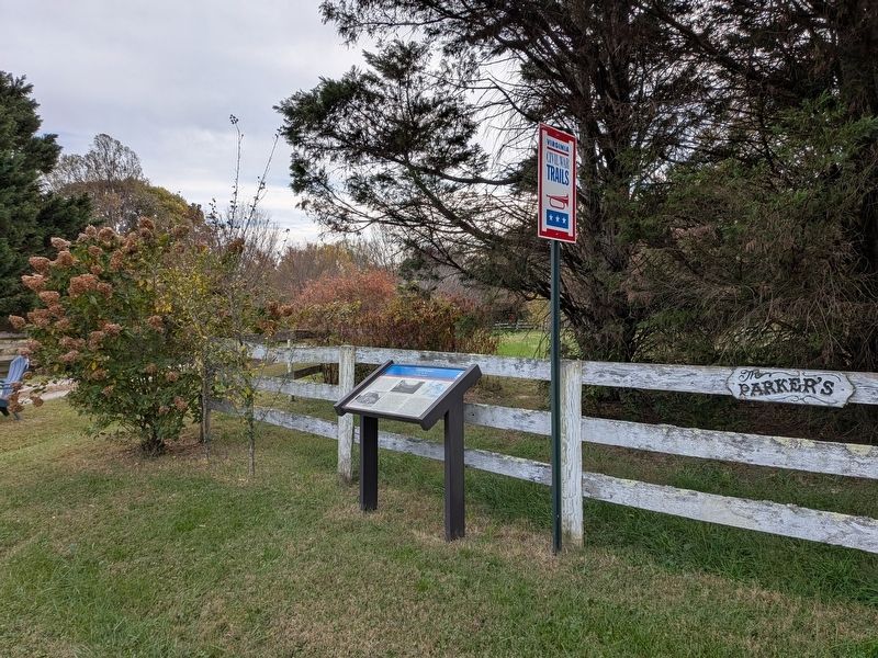
2. Cleydael Marker

Regionally, this marker is in the American South, specifically in the Upper South, in the Mid-Atlantic, in the Tidewater, in the Chesapeake Bay Region, and on the Eastern Seaboard. Globally, it is in the North Atlantic Region, North America, the Western Hemisphere, the Western World, and the Anglosphere. Historically, it finds itself in what was once the territory of the Mississippian Culture, one of the original Thirteen Colonies, one of the Confederate States of America, and the Antebellum South.
Other nearby markers. At least 8 other markers are within 5 miles of this marker, measured as the crow flies: A different marker also named Cleydael (approx. 0.2 miles away); Ralph Bunche High School (approx. 2.9 miles away); Hanover Baptist Church (approx. 3.1 miles away); All that Glitters (approx. 3½ miles away); King George Confederate Monument (approx. 3.9 miles away); Veterans Memorial (approx. 3.9 miles away); World War I Memorial (approx. 4.2 miles away); Marmion (approx. 4.7 miles away). Touch for a list and map of all markers in King George.
Another
National Park Service, Thomas Stone National Historic Site, April 2, 2019
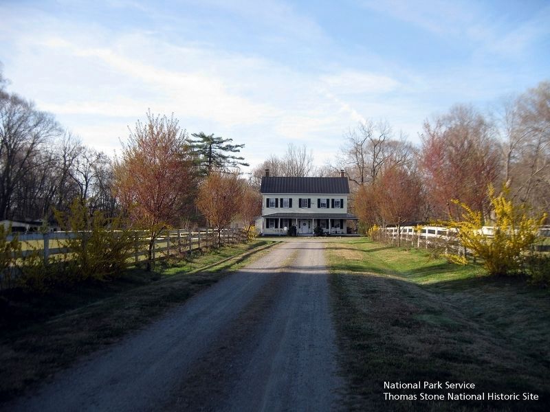
3. Cleydael exterior.
Viewing south towards the house, which is private property, at the end of a long private road.
Additional keywords. John Wilkes Booth Escape Route
Credits. This page was last revised on November 1, 2026. It was originally submitted on November 1, 2026, by Evan Dwyer of Richmond, Virginia. This page has been viewed 22 times since then. Photos: 1, 2. submitted on November 1, 2026, by Evan Dwyer of Richmond, Virginia. 3. submitted on August 19, 2019.
