Nord in Hannover in Region Hannover, Lower Saxony, Germany — Central Europe
Alter jüdischer Friedhof
⎯⎯⎯
Old Jewish Cemetery
Photographed by James Hulse, October 9, 2026
1. Alter jüdischer Friedhof / Old Jewish Cemetery Marker

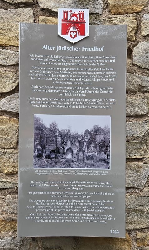
Seit 1550 nutzte die jüdische Gemeinde zur Beerdigung ihrer Toten einen Sandhügel außerhalb der Stadt. 1740 wurde der Friedhof erweitert und durch eine Mauer eingefriedet, zum Schutz der Gräber.
700 Grabsteine erinnern an jüdisches Leben in alter Zeit. Hier finden sich die Grabstätten von Rabbinern, des Hoffinanziers Leffmann Behrens und seiner Ehefrau Jente Hameln, des Astronomen Rafael Levi, des Arztes Dr. Marcus Jacob Marx, des Bankiers und Mäzens Adolph Meyer und vieler Vorfahren Heinrich Heines.
Auch nach Schließung des Friedhofs 1864 gilt die religionsgesetzliche Bestimmung dauerhafter Totenruhe als Verpflichtung der Gemeinde zum Erhalt der Gräber.
Nach 1933 forderten die Nationalsozialisten die Beseitigung des Friedhofs. Trotz Enteignung durch das Reich 1943 blieb die Stätte erhalten und wird heute durch den Landesverband der Jüdischen Gemeinden betreut.
Eng beieinanderstehende Grabsteine: Ältere Gräber liegen tiefer, jüngere in später aufgeschütteter Erde darüber. Foto um 1900, Historisches Museum Hannover
The Jewish community used the sandy hill outside the town to bury their dead from 1550 onwards. In 1740, the cemetery was extended and fenced in to protect the graves.
700 gravestones commemorate Jewish life in ancient times, including those of rabbis and other well-known people.
The graves are very close together. Earth was added later meaning the older headstones seem deeper set and the more recent ones higher. After the cemetery was closed in 1864, the community ensured the permanent preservation of the graves in accordance with Jewish tradition.
After 1933, the National Socialists demanded the removal of the cemetery. Despite expropriation by the Reich in 1943, the site remained and is maintained today by the Federation of Jewish Communities of Lower Saxony.
Closely spaced gravestones: Older graves lie lower, with newer graves above them in earth added later. Photograph around 1900, Hannover Historical Museum. (Caption translation.)
Erected by Landeshauptstadt Hannover. (Marker Number 124.)
Topics. This historical marker is listed in this topic list: Cemeteries & Burial Sites. A significant historical year for this entry is 1550.
Location. 52° 22.897′ N, 9° 43.326′ E. Marker is in Hannover, Niedersachsen
this page online

Regionally, it is in Europe, the European Union, Atlantic Europe, Central Europe, the Schengen Area, Western Europe, and the Western World. Historically, it finds itself in what was once the Holy Roman Empire and also the former West Germany.
Other nearby markers. At least 8 other markers are within walking distance of this marker: Brüggemannhof (about 210 meters away, measured in a direct line); Conrad-Wilhelm-Hase-Platz (approx. 0.2 kilometers away); Christuskirche / Christ Church (approx. 0.3 kilometers away); Rolf Becher (approx. 0.3 kilometers away); Rosa Becher (approx. 0.3 kilometers away); Jochen Becher (approx. 0.3 kilometers away); Klaus Becher (approx. 0.3 kilometers away); Der Neustädter Friedhof / The Neustädter Cemetery (approx. half a kilometer away). Touch for a list and map of all markers in Hannover.
Photographed by James Hulse, October 9, 2026
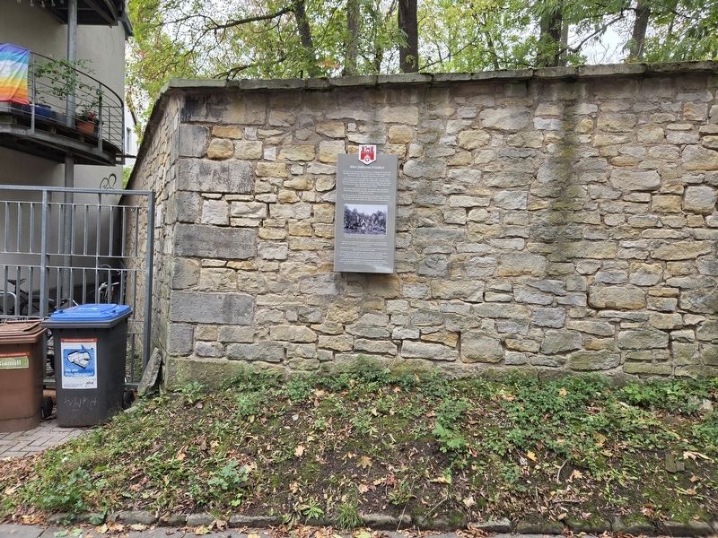
2. Alter jüdischer Friedhof / Old Jewish Cemetery Marker
Photographed by James Hulse, October 9, 2026
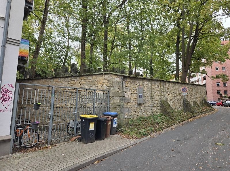
3. Alter jüdischer Friedhof / Old Jewish Cemetery and Marker
Photographed by James Hulse, October 9, 2026
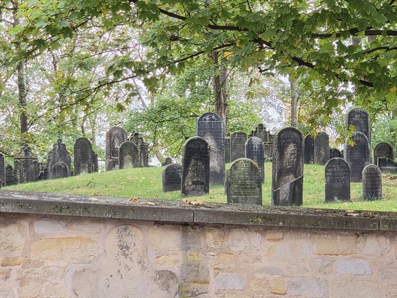
4. Alter jüdischer Friedhof / Old Jewish Cemetery
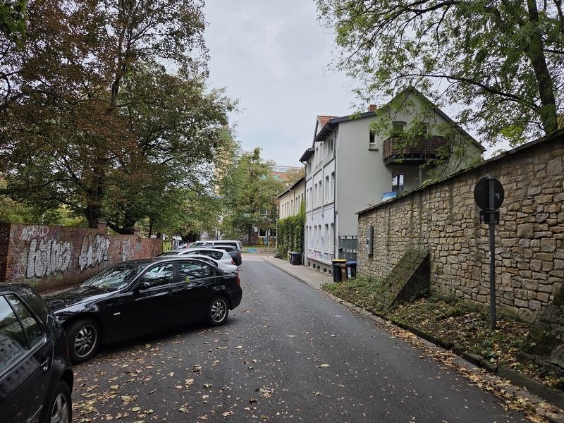
Photographed by James Hulse, October 9, 2026
5. Alter jüdischer Friedhof / Old Jewish Cemetery Marker
Credits. This page was last revised on November 3, 2026. It was originally submitted on November 2, 2026, by James Hulse of Medina, Texas. This page has been viewed 7 times since then. Photos: 1, 2, 3, 4, 5. submitted on November 2, 2026, by James Hulse of Medina, Texas.
