Hingham in Plymouth County, Massachusetts — The American Northeast (New England)
Mackerel Fishing Industry
Photographed by G.W.Bartlett, November 2, 2026
1. Mackerel Fishing Industry Marker
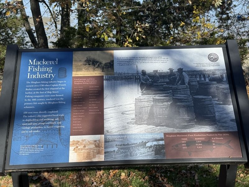
450 men were directly employed. The industry also supported local work in shipbuilding and outfitting; sail, mast-and-spar, pump-and-block, and cordage production; in barrel coopering and in salt works.
Hingham Mackerel Fleet Production Peaked In The 1830s
Year • Barrels • # of Vessels
1815 • 3,615 • 14
1831 • 52,664 • 61
1854 • 5,451 • 20
Local persons and firms prominent in the 19th century Hingham fishing industry:
E. & L. J. Barnes · L. J. & I. Barnes · Ensign Barnes · John Bassett · Beal & Thaxter · Francis G. Ford · Ford, Bassett & Nye · Ford & Thomas · Ford, Thomas & Hobart · Gardner & Sprague · Lincoln & Gardner · Moses L. Humphrey · Scarlet Hudson · R. & C. Lane · Rufus Lane, Jr. · George Lincoln · Lincoln & Souther · Lincoln & Whiton · Thomas Loring & Son · Caleb B.
this page online
For photo/illustration credits and more information about the history of Hingham's Inner Harbor, please visit: hingham-ma.gov/HinghamHarbor
(Image captions)
1. Burr's Salt Works at Broad Cove was started after the War of 1812. Other salt works were located at what is now the Town Beach and Seal Cove. Salt was extracted from seawater by evaporation.
2. Souther's Boat Yard at Inner Harbor, 19th century.
3. Barrels shown here were made near the harbor and wrapped using saplings. Crew on mackerel schooners would pack mackerel with salt in these barrels while still on seasonal fishing grounds -- from the Gulf of St. Lawrence and Gulf of Maine to the southern coast of New England. For each 100 barrels of fish packed, 18 "hogsheads" (~ 64 gallons) of salt were used.
4. Fishing schooners with three sails and carrying crews of 8 to 10, were gradually replaced by vessels having five or six sails, and crews of 12 to 16. The schooner pictured here does not yet have masts in place.
Erected 2019
Photographed by G.W.Bartlett, November 2, 2026
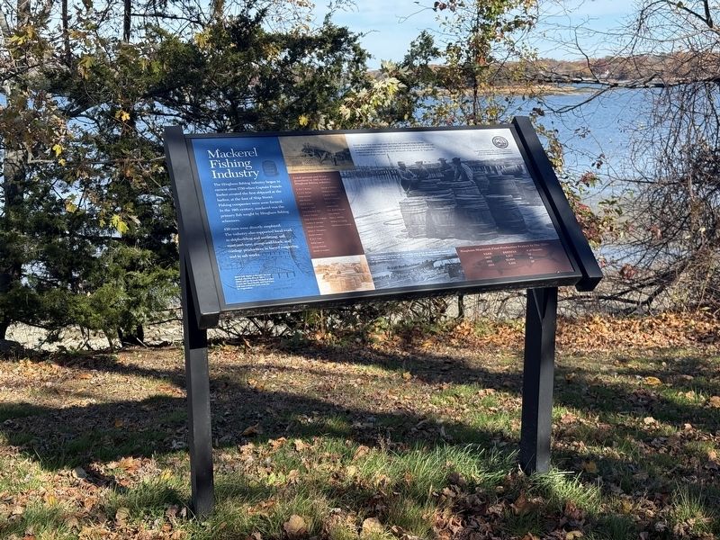
2. Mackerel Fishing Industry Marker
Topics. This historical marker is listed in these topic lists: Industry & Commerce • Waterways & Vessels.
Location. 42° 14.919′ N, 70° 53.365′ W. Marker is in Hingham, Massachusetts, in Plymouth County. It is on Otis Street (Massachusetts Route 1A), on the right when traveling north. Parking for this marker is at the Hingham Bathing Beach parking lot. Touch for map. Marker is at or near this postal address: Hingham Bathing Beach, Hingham MA 02043, United States of America. Touch for directions.

Regionally, this marker is on the South Shore. It is also in the American Northeast, in New England, and on the Eastern Seaboard. Globally, it is in the North Atlantic Region, North America, the Western Hemisphere, the Western World, and the Anglosphere. Historically, it finds itself in what was once one of the original Thirteen Colonies.
Other nearby markers. At least 8 other markers are within walking distance of this marker: POW/MIA Memorial (approx. 0.4 miles away); Reverend Peter Hobart (approx. 0.4 miles away); Benjamin Lincoln (approx. 0.4 miles away);
Photographed by G.W.Bartlett, November 2, 2026
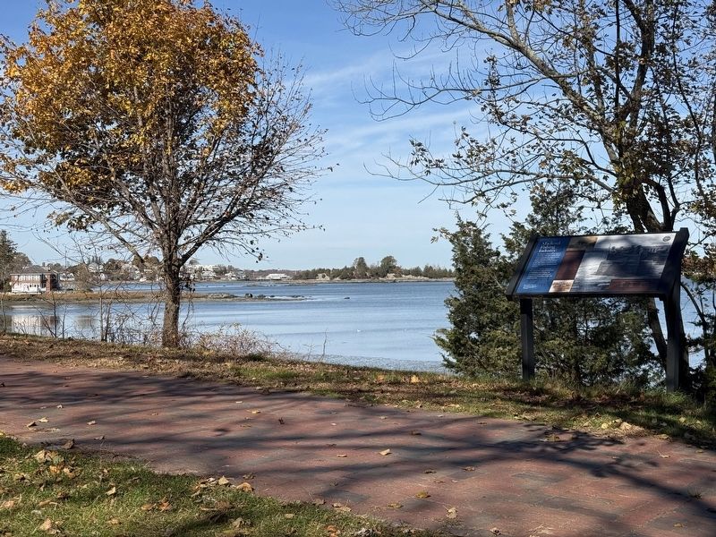
3. Mackerel Fishing Industry Marker (wide)
Also see . . .
1. History of Hingham Inner Harbor.
In 2019 the Town of Hingham began installation of a series of Harbor History signs along the walking paths and public areas of our inner harbor—the area that stretches from Broad Cove to the Hingham Maritime Center. We encourage you to walk the harbor to visit the signs.(Submitted on November 2, 2026, by G.W.Bartlett of Hingham, Massachusetts.)
2. Hingham Historical Society.
The Hingham Historical Society was established in 1914 to collect, preserve, and promote Hingham’s historic heritage.(Submitted on November 2, 2026, by G.W.Bartlett of Hingham, Massachusetts.)
Photographed by G.W.Bartlett, November 2, 2026
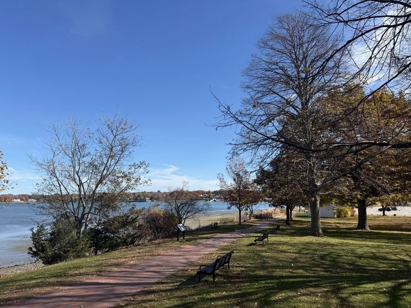
4. Mackerel Fishing Industry Marker (wide)
Credits. This page was last revised on November 6, 2026. It was originally submitted on November 2, 2026, by G.W.Bartlett of Hingham, Massachusetts. This page has been viewed 15 times since then. Photos: 1, 2, 3, 4. submitted on November 2, 2026, by G.W.Bartlett of Hingham, Massachusetts. • Andrew Ruppenstein was the editor who published this page.
