King George in King George County, Virginia — The American South (Mid-Atlantic)
A River Surrounded by Its People
Photographed by Evan Dwyer, October 31, 2026
1. A River Surrounded by Its People Marker
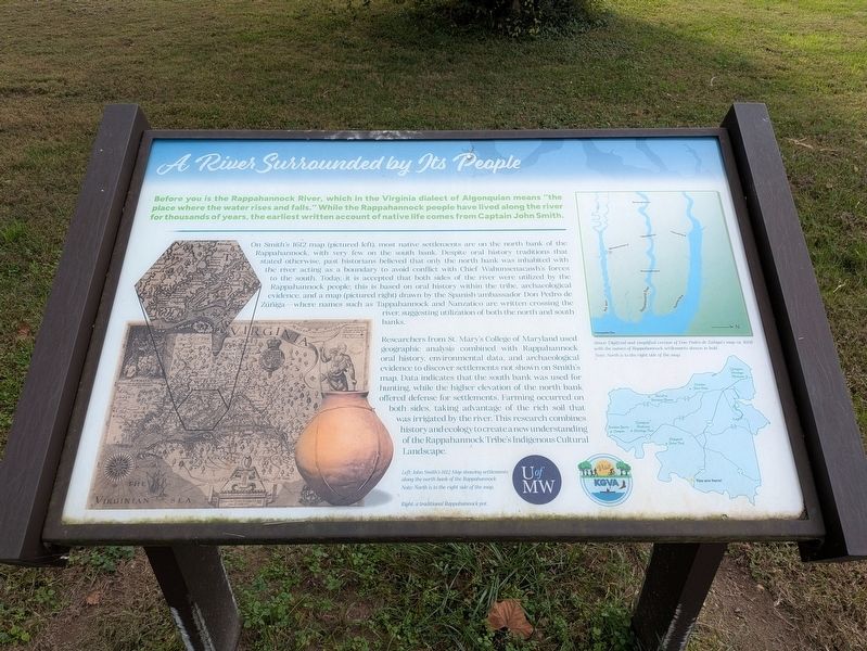
Before you is the Rappahannock River, which in the Virginia dialect of Algonquian means "the place where the water rises and falls." While the Rappahannock people have lived along the river for thousands of years, the earliest written account of native life comes from Captain John Smith.
On Smith's 1612 map (pictured left), most native settlements are on the north bank of the Rappahannock, with very few on the south bank. Despite oral history traditions that stated otherwise, past historians believed that only the north bank was inhabited with the river acting as a boundary to avoid conflict with Chief Wahunsenacawh's forces to the south. Today, it is accepted that both sides of the river were utilized by the Rappahannock people; this is based on oral history within the tribe, archaeological evidence, and a map (pictured right) drawn by the Spanish ambassador Don Pedro de Zúñiga - where names such as Tappahannock and Nanzatico are written crossing the river, suggesting utilization of both the north and south banks.
Researchers from St. Mary's College of Maryland used geographic analysis combined with Rappahannock oral
this page online
Image Captions:
Left: JOhn Smith's 1612 Map showing settlements along the north bank of the Rappahannock.
Note: North is to the right side of the map.
Right: a traditional Rappahannock pot.
Above: Digitized and simplified version of Don Pedro de Zúñiga's map ca. 1608 with the names of Rappahannock settlements shown in bold.
Note: North is to the right side of the map.
Erected by University of Mary Washington and Visit KGVA.
Topics. This historical marker is listed in these topic lists: Exploration • Indigenous Peoples and Communities • Settlements & Settlers. A significant historical year for this entry is 1612.
Location. 38° 10.808′ N, 77° 11.232′ W.
Photographed by Evan Dwyer, October 31, 2026
2. A River Surrounded by Its People Marker
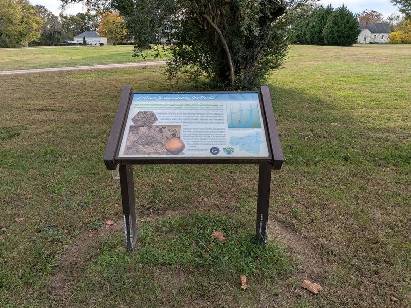
Context view. Belle Grove plantation actually obscures the view of the river from this location.

Regionally, this marker is in the American South, specifically in the Upper South, in the Mid-Atlantic, in the Tidewater, in the Chesapeake Bay Region, and on the Eastern Seaboard. Globally, it is in the North Atlantic Region, North America, the Western Hemisphere, the Western World, and the Anglosphere. Historically, it finds itself in what was once the territory of the Mississippian Culture, one of the original Thirteen Colonies, one of the Confederate States of America, and the Antebellum South.
Other nearby markers. At least 8 other markers are within walking distance of this marker: Belle Grove (here, next to this marker); Belle Grove Plantation (a few steps from this marker); Belle Grove Graves Monument (about 400 feet away, measured in a direct line); Emmanuel Church (about 500 feet away); James Madison's Birthplace
Photographed by Evan Dwyer, August 3, 2024
3. Rappahannock River
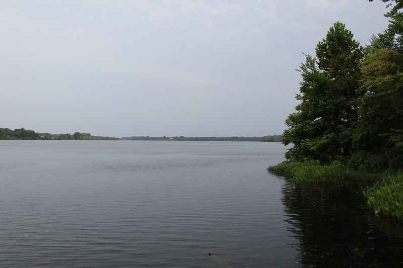
View from the south bank - the opposite side of the river from the marker's location - looking southeast. The north bank is on the opposite side. This photo was taken from the boat launch in Port Royal, directly across the river and just on the opposite side of the James Madison Memorial Bridge from Belle Grove where the marker is sited.
Another marker is no longer nearby. Birthplace of Madison (was about 600 feet away but has been replaced with another marker now near it).
Credits. This page was last revised on November 2, 2026. It was originally submitted on November 2, 2026, by Evan Dwyer of Richmond, Virginia. This page has been viewed 6 times since then. Photos: 1, 2, 3. submitted on November 2, 2026, by Evan Dwyer of Richmond, Virginia.
