Urban Core in Jacksonville in Duval County, Florida — The American South (South Atlantic)
Jacksonville Halloween Riots
Community unrest on Florida Avenue
Photographed by Tim Fillmon, November 2, 2026
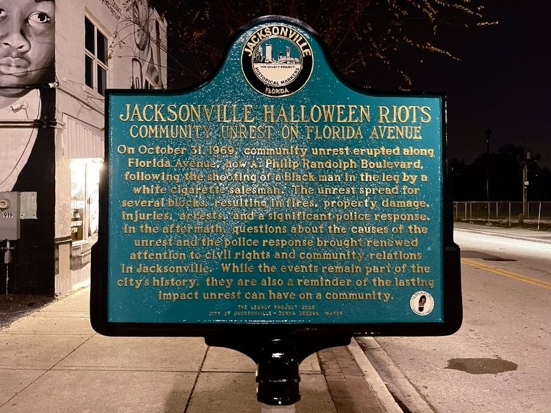
1. Jacksonville Halloween Riots Marker
On October 31, 1969 community unrest erupted along Florida Avenue, now A Philip Randolph Boulevard, following the shooting of a Black man in the leg by a white cigarette salesman. The unrest spread for several blocks, resulting in fires, property damage.. injuries, arrests and a significant police response. In the aftermath questions about the causes of the unrest and the police response brought renewed attention to civil rights and community relations in Jacksonville. While the events remain part of the city's history they are also a reminder of the lasting impact unrest can have on a community.
Erected 2026 by The Legacy Project - City of Jacksonville-Donna Deegan, Mayor.
Topics. This historical marker is listed in these topic lists: African Americans • Civil Rights. A significant historical date for this entry is October 31, 1969.
Location. 30° 20.001′ N, 81° 38.548′ W. Marker is in Jacksonville, Florida, in Duval County. It is in Urban Core. It is at the intersection of A Philip Randolph Boulevard and Jessie Street, on the left when traveling south on A Philip Randolph Boulevard. Touch for map. Marker is at
this page online

Regionally, this marker is in First Coast. It is also in the American South and on the Eastern Seaboard. Globally, it is in the North Atlantic Region, North America, a Gulf of Mexico state, the Western Hemisphere, the Western World, and the Anglosphere. Historically, it finds itself in what was once New Spain, the territory of the Mississippian Culture, one of the Confederate States of America, and the Antebellum South.
Other nearby markers. At least 8 other markers are within walking distance of this marker: A. Philip Randolph (approx. 0.2 miles away); A. Philip Randolph Heritage Park (approx. 0.2 miles away); The Mungen House (approx. 0.2 miles away); Old Confederate Soldiers and Sailors Home (approx. 0.4 miles away); "Mother" Midway A.M.E. Church (approx. 0.6 miles away); Camp Springfield (Cuba Libre) (approx. 0.6 miles away); The Monument to Women of the Southern Confederacy (approx. 0.7 miles away); Barnett Mansion (approx. ¾ mile away). Touch for a list and map of all markers in Jacksonville.
Also see . . . Halloween Riots in 1969.
Photographed by Tim Fillmon, November 2, 2026
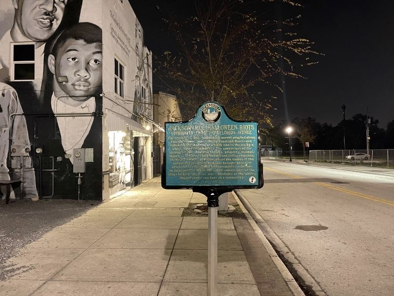
2. Jacksonville Halloween Riots Marker
Photographed by Tim Fillmon, November 2, 2026
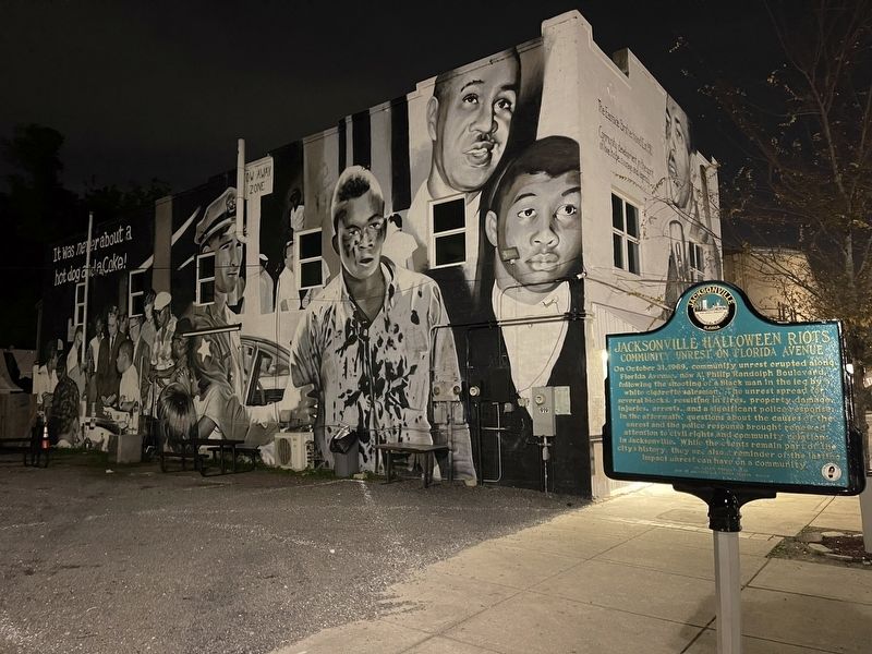
3. Jacksonville Halloween Riots Marker
Credits. This page was last revised on November 2, 2026. It was originally submitted on November 2, 2026, by Tim Fillmon of Webster, Florida. This page has been viewed 11 times since then. Photos: 1, 2, 3. submitted on November 2, 2026, by Tim Fillmon of Webster, Florida.
