Hingham in Plymouth County, Massachusetts — The American Northeast (New England)
Hingham
1630 —- 1930
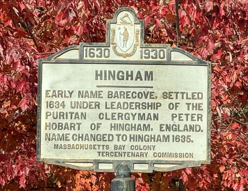
Photographed by G.W.Bartlett, November 3, 2026
1. Hingham Marker
Early name Barecove, settled
1634 under leadership of the
puritan clergyman Peter
Hobart of Hingham, England.
Name changed to Hingham 1635.
Erected 1930 by Massachusetts Bay Colony Tercentenary Commission.
Topics and series. This historical marker is listed in these topic lists: Colonial Era • Settlements & Settlers. In addition, it is included in the Massachusetts Bay Colony—Tercentenary Commission Markers series list. A significant historical year for this entry is 1635.
Location. 42° 10.502′ N, 70° 53.102′ W. Marker is in Hingham, Massachusetts, in Plymouth County. It is at the intersection of Main Street (Massachusetts Route 228) and Washington Street ( Route 53), on the right when traveling north on Main Street. Touch for map. Marker is in this post office area: Hingham MA 02043, United States of America. Touch for directions.

Regionally, this marker is on the South Shore. It is also in the American Northeast, in New England, and on the Eastern Seaboard. Globally, it is in the North Atlantic Region, North America, the Western Hemisphere, the Western World, and the Anglosphere.
this page online
Other nearby markers. At least 8 other markers are within 4 miles of this marker, measured as the crow flies: Jacobs Pond (approx. 2.2 miles away); Jacobs Homestead Property History (approx. 2.2 miles away); Hingham Second Parish Church (approx. 2½ miles away); General History (approx. 3.2 miles away); Shea Field Memorial Grove (approx. 3.2 miles away); A4D-2 (A-4B) Skyhawk (approx. 3.2 miles away); History of NAS South Weymouth (approx. 3.2 miles away); US Military History (approx. 3.2 miles away). Touch for a list and map of all markers in Hingham.
More about this marker. The Hingham Marker is just north of the border of Hingham and Norwell which was also the 1640 historic border between Plymouth Colony and Massachusetts Bay Colony, a virtually straight line between North Attleboro, Rhode Island and Boundary Brook in Cohassett, Massachusetts.
Related markers. Click here for a list of markers that are related to this marker.
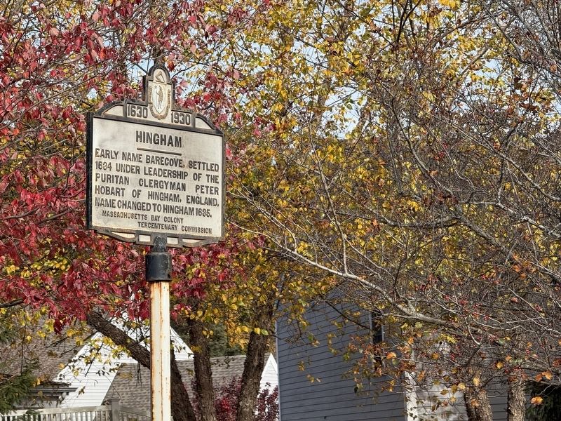
Photographed by G.W.Bartlett, November 3, 2026
2. Hingham Marker
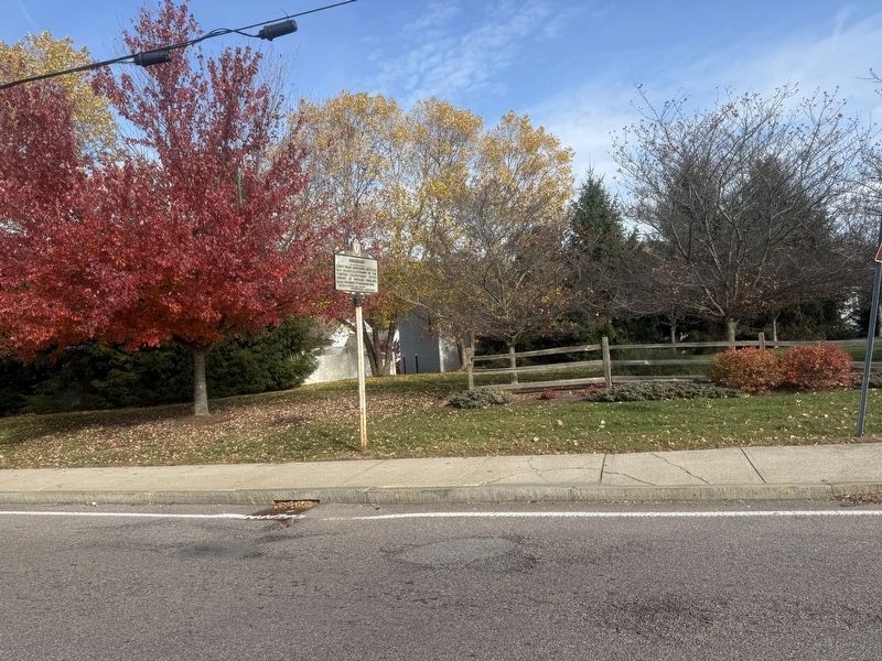
Photographed by G.W.Bartlett, November 3, 2026
3. Hingham Marker (wide)
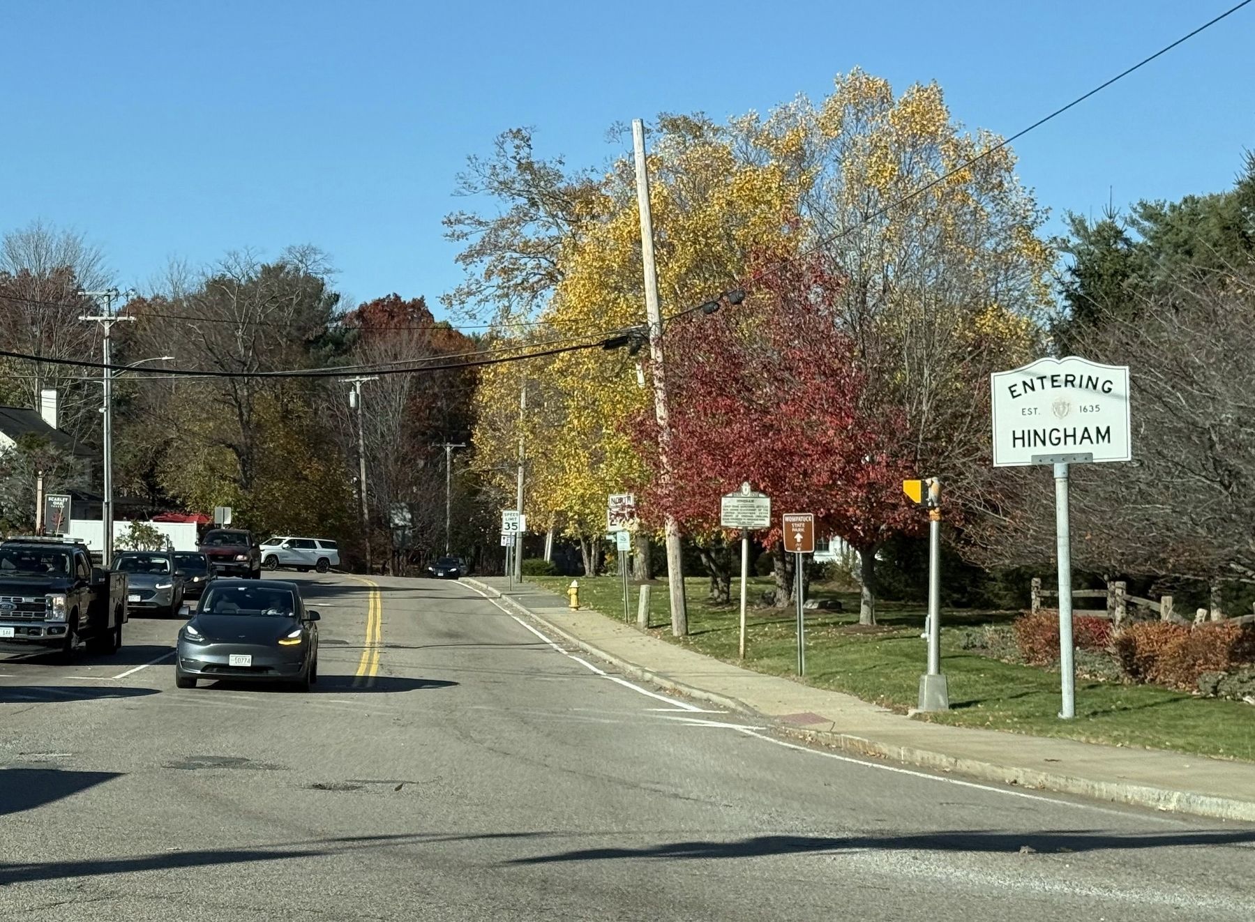
Photographed by G.W.Bartlett, November 4, 2026
4. View North from Washington Street
View of signage from the Hingham, Norwell border at the intersection of Washington Street (Rt. 53) and Main Street (Rt. 228) looking North on Main Street.
Signs on Main Street (near to far):
Entering Hingham, Est. 1635 · Wompatuck State Park, dcr · Hingham Marker · North 228 · Speed Limit
Signs on Main Street (near to far):
Entering Hingham, Est. 1635 · Wompatuck State Park, dcr · Hingham Marker · North 228 · Speed Limit
Credits. This page was last revised on November 12, 2026. It was originally submitted on November 3, 2026, by G.W.Bartlett of Hingham, Massachusetts. This page has been viewed 20 times since then. Photos: 1, 2, 3. submitted on November 3, 2026, by G.W.Bartlett of Hingham, Massachusetts. 4. submitted on November 4, 2026, by G.W.Bartlett of Hingham, Massachusetts. • Andrew Ruppenstein was the editor who published this page.
