Swansboro in Onslow County, North Carolina — The American South (South Atlantic)
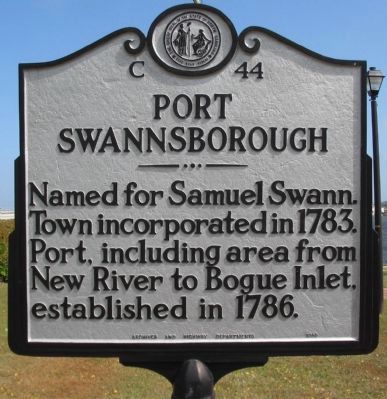
Port Swannsborough
Erected 1955 by Archives and Highway Departments. (Marker Number C-44.)
Topics and series. This historical marker is listed in these topic lists: Settlements & Settlers • Waterways & Vessels. In addition, it is included in the North Carolina Division of Archives and History series list. A significant historical year for this entry is 1783.
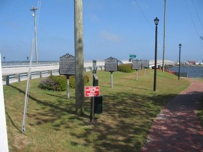
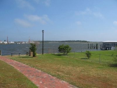
Location. 34° 41.254′ N, 77° 7.045′ W. Marker is in Swansboro, North Carolina, in Onslow County. Marker is at the intersection of West Corbett Avenue (State Highway 24) and Front Street, on the right when traveling east on West Corbett Avenue. Marker is best reached by parking in the lot on the north side of the road, and following the walking path along the White Oak River, under the bridge. Touch for map. Marker is in this post office area: Swansboro NC 28584, United States of America. Touch for directions.
Other nearby markers. At least 8 other markers are within 15 miles of this marker, measured as the crow flies. Huggins' Island Fort (here, next to this marker); "Prometheus" (here, next to this marker); Col. John Starkey (a few steps from this marker); Hammocks Beach State Park (approx. 1.9 miles away); Huggins Island Battery (approx. 1.9 miles away); James Melville Jones (approx. 14.6 miles away); Hofmann Forest (approx. 14.6 miles away); Julius Valentine Hofmann (approx. 14.7 miles away). Touch for a list and map of all markers in Swansboro.
Also see . . . Brief History of Swansboro. From a blog detailing the town's history. (Submitted on June 6, 2010, by Craig Swain of Leesburg, Virginia.)
Credits. This page was last revised on July 1, 2021. It was originally submitted on June 6, 2010, by Craig Swain of Leesburg, Virginia. This page has been viewed 667 times since then and 16 times this year. Photos: 1, 2, 3. submitted on June 6, 2010, by Craig Swain of Leesburg, Virginia.


