Hiawatha in Minneapolis in Hennepin County, Minnesota — The American Midwest (Upper Plains)
How Navigation Locks Work
Photographed by McGhiever, May 28, 2023
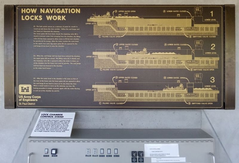
1. How Navigation Locks Work Marker
(1) - The lock system serves as a stairway of pools for vessels to travel up and down the river corridor. Follow the coal barge and tow boat as it descends this stairway.
The lower gates (A) have been closed, the emptying valve (B) is closed to prevent water from escaping from the chamber, the filling valve (C) has been opened to allow water to fill the lock chamber by gravity–not by pumps. After the water reaches the same level as the upper river pool, the upper gates (D) are opened for the coal barge & tow boat to enter the chamber.
(2) - When the coal barge and tow boat have entered the chamber, the upper gates (D) are closed. The filling valve (C) is closed, and the emptying valve (B) is opened to allow the water to drain out of the chamber into the lower river pool by gravity. The coal barge and tow boat are lowered in the chamber as the water level lowers.
(3) - After the water level in the chamber is the same as that of the river at the lower end, the lower gates (A) are opened to allow the coal barge & tow boat to move on its way down the river. When a vessel wants to move up the stairway, up river, the
this page online
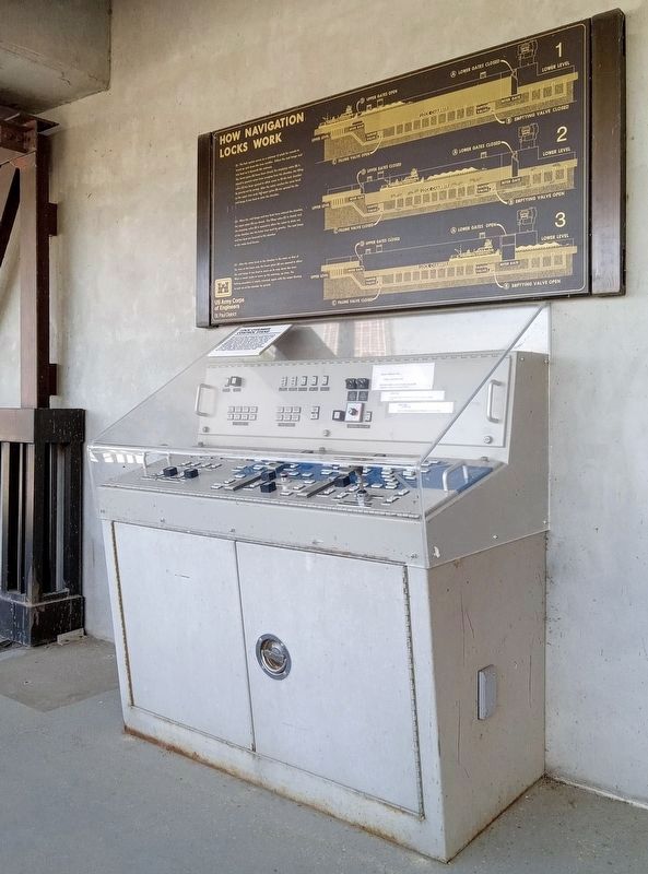
Lock Chamber Control Stand
This is one of the actual Lock 1 control stands that were used from 1980 to 2005. From this control stand the Lock Operator was able to operate the entire locking process. The Lock Operator would be able to open or close the lock gates, open or close tainter valves and various other tasks associated with locking water vessels. This control stand was replaced by a single computer mouse and joy stick.
Erected by U.S. Army Corps of Engineers, St. Paul District.
Topics. This historical marker is listed in this topic list: Waterways & Vessels. A significant historical year for this entry is 1980.
Location. 44° 54.846′ N, 93° 12.139′ W. Marker is in Minneapolis, Minnesota, in Hennepin County. It is in Hiawatha. It can be reached from W. River Parkway, on the left when traveling south. The marker is at Lock and Dam No. 1, on the upper walkway outside the control station. Touch for map. Marker is at or near this postal address: 5000 W River Parkway, Minneapolis MN 55417, United States of America. Touch for directions.

Regionally,
Photographed by McGhiever, May 28, 2023
2. How Navigation Locks Work Marker and the lock chamber control stand
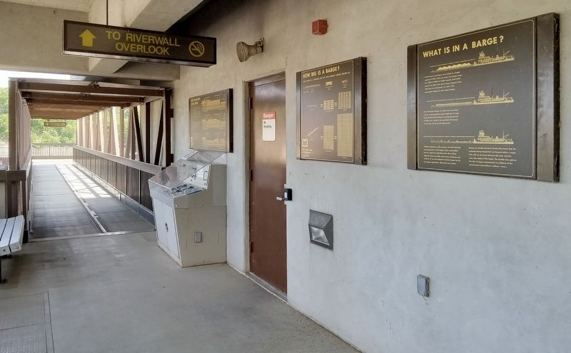
Other nearby markers. At least 8 other markers are within walking distance of this marker: What is in a Barge? (here, next to this marker); The Lock and Dam No. 1 Story (within shouting distance of this marker); Stoney Valve Operating Mechanism (within shouting distance of this marker); Wing Dams (about 300 feet away, measured in a direct line); A River Highway (about 300 feet away); Big Water / Stairway of Water (about 300 feet away); Miter Gate Operating Mechanism (about 600 feet away); Welcome to Lock and Dam No. 1 / The Federal Engineer (about 700 feet away). Touch for a list and map of all markers in Minneapolis.
Photographed by McGhiever, May 28, 2023
3. Markers on the upper walkway at Lock and Dam No. 1
Credits. This page was last revised on November 4, 2026. It was originally submitted on November 3, 2026, by McGhiever of Minneapolis, Minnesota. This page has been viewed 2 times since then. Photos: 1. submitted on November 3, 2026, by McGhiever of Minneapolis, Minnesota. 2, 3. submitted on November 4, 2026, by McGhiever of Minneapolis, Minnesota.
