Hiawatha in Minneapolis in Hennepin County, Minnesota — The American Midwest (Upper Plains)
What is in a Barge?
Photographed by McGhiever, May 28, 2023
1. What is in a Barge? Marker
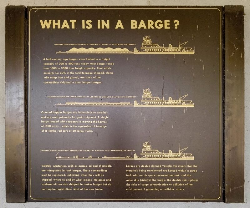
Standard open hopper barge•195 ft. long•35 ft. wide•9 ft. draft•1500 ton capacity
A half century ago barges were limited to a freight capacity of 200 to 800 tons; today most barges range from 1000 to 3000 tons freight capacity. Coal which accounts for 20% of the total tonnage shipped, along with scrap iron and gravel, are some of the commodities shipped in open hopper barges.
Standard covered dry cargo barge•195 ft. long•35 ft. wide•9 ft. draft•1500 ton capacity
Covered hopper barges are impervious to weather and are used primarily for grain shipment. A single barge loaded with soybeans is moving the harvest of 1500 acres—which is the equivalent of tonnage of 15 jumbo rail cars or 60 large trucks.
Standard liquid cargo (tank) barge•195 feet long•35 ft. wide•9 ft. draft•454,000 gallon capacity
Volatile substances, such as gasses, oil and chemicals, are transported in tank barges. These commodities must be registered, indicating when they will be shipped, where to and by what means. Molasses and soybean oil are also shipped in tanker barges but do not require registration. Most of the new tanker barges are
this page online
Erected by U.S. Army Corps of Engineers, St. Paul District.
Topics. This historical marker is listed in this topic list: Waterways & Vessels.
Location. 44° 54.846′ N, 93° 12.141′ W. Marker is in Minneapolis, Minnesota, in Hennepin County. It is in Hiawatha. It can be reached from W. River Parkway, on the left when traveling south. The marker is at Lock and Dam No. 1, on the upper walkway outside the control station. Touch for map. Marker is at or near this postal address: 5000 W River Parkway, Minneapolis MN 55417, United States of America. Touch for directions.

Regionally, this marker is in the Twin Cities Metropolitan Area. It is also in the American Midwest, in the Corn Belt, and in the Great River Road Region. Globally, it is in North America, the Western Hemisphere,
Photographed by McGhiever, May 28, 2023
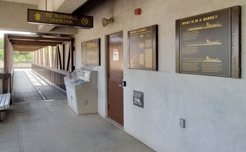
2. What is in a Barge? Marker (right) on the upper walkway at Lock and Dam No. 1
Other nearby markers. At least 8 other markers are within walking distance of this marker: How Navigation Locks Work (here, next to this marker); The Lock and Dam No. 1 Story (within shouting distance of this marker); Stoney Valve Operating Mechanism (within shouting distance of this marker); Wing Dams (about 300 feet away, measured in a direct line); A River Highway (about 300 feet away); Big Water / Stairway of Water (about 300 feet away); Miter Gate Operating Mechanism (about 600 feet away); Welcome to Lock and Dam No. 1 / The Federal Engineer (about 700 feet away). Touch for a list and map of all markers in Minneapolis.
Credits. This page was last revised on November 4, 2026. It was originally submitted on November 4, 2026, by McGhiever of Minneapolis, Minnesota. This page has been viewed 4 times since then. Photos: 1, 2. submitted on November 4, 2026, by McGhiever of Minneapolis, Minnesota.
