Near Big Pine in Inyo County, California — The American West (Pacific Coastal)
The Millimeter Interferometer
Owens Valley Radio Observatory
Photographed by Craig Baker
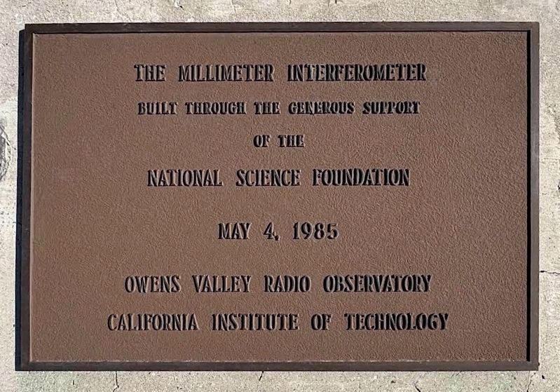
1. Millimeter Interferometer Marker
The Millimeter Interferometer, built through the generous support of the National Science Foundation.
May 4, 1985
Owens Valley Radio Observatory
California Institute of Technology
Erected 1985 by Owens Valley Radio Observatory.
Topics. This historical marker is listed in these topic lists: Air & Space • Exploration • Science & Medicine. A significant historical year for this entry is 1985.
Location. 37° 13.998′ N, 118° 16.931′ W. Marker is near Big Pine, California, in Inyo County. It can be reached from Leighton Lane 3.8 miles north of California Route 168. Located at the Owens Valley Radio Observatory. Touch for map. Marker is at or near this postal address: 100 Leighton Ln, Big Pine CA 93513, United States of America. Touch for directions.

Regionally, this marker is in the Sierra Nevada. It is also in the American Mountain West. Globally, it is in North America, on the Ring of Fire, on the Pacific Rim, in the Western Hemisphere, in the Western World, and in the Anglosphere. Historically, it finds itself in what was once New Spain and also Mexico’s Alta California.
Other nearby markers. At
this page online
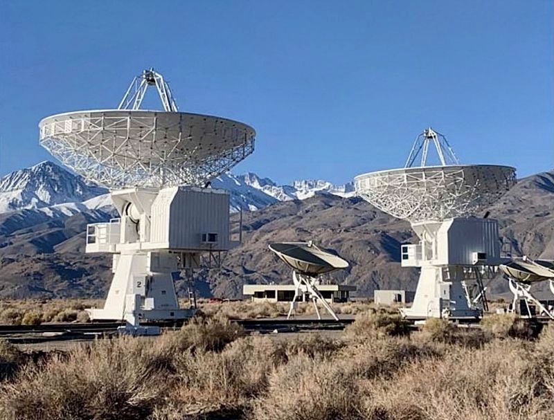
Regarding The Millimeter Interferometer. The Owens Valley Millimeter Wave Interferometer, also known as the Owens Valley Millimeter Array, is a radio interferometer operated by the California Institute of Technology (Caltech) at the Owens Valley Radio Observatory near Big Pine and Bishop, California. It is situated in the high, dry desert of the Owens Valley which helps minimize atmospheric moisture and radio-electrical interference. It originally comprised multiple 10.4-meter diameter antennas/telescopes, and later merged operations or evolved into related arrays like CARMA (Combined Array for Research in
Photographed by Craig Baker
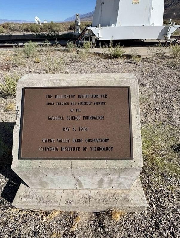
2. Millimeter Interferometer Marker
Also see . . . Owens Valley Radio Observatory. Website features current projects, photos, maps, history, public lectures, and a virtual tour. (Submitted on November 4, 2026.)
courtesy OVRO
3. Millimeter Interferometer Antennas
Two 10.4 m (34 ft) antennas now used for SPRITEly.
Photographed by Craig Baker, October 25, 2026
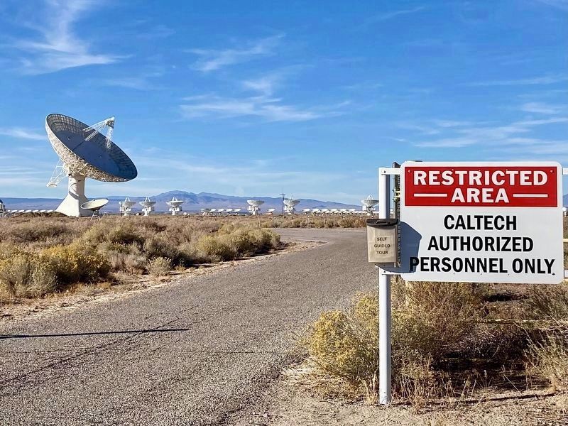
4. Millimeter Interferometer Antennas
The array is on the horizon. A self-guided tour map is available here, which gives permission to enter.
Photographed by Craig Baker, October 25, 2026
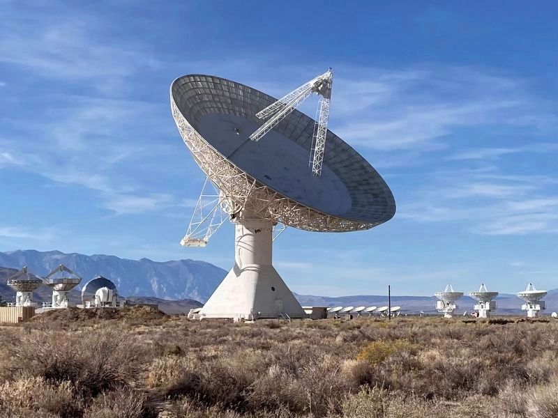
5. 130 Foot Telescope (40 m)
Dedicated in 1968, one of the world‘s largest fully steerable radio telescopes, it weighs 1 million pounds.
Photographed by Craig Baker, October 25, 2026
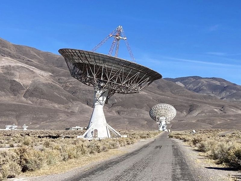
6. 90 Foot Telescope (27.5 m)
One of two original radio telescopes built in the late 1950s.
Photographed by Craig Baker, October 25, 2026
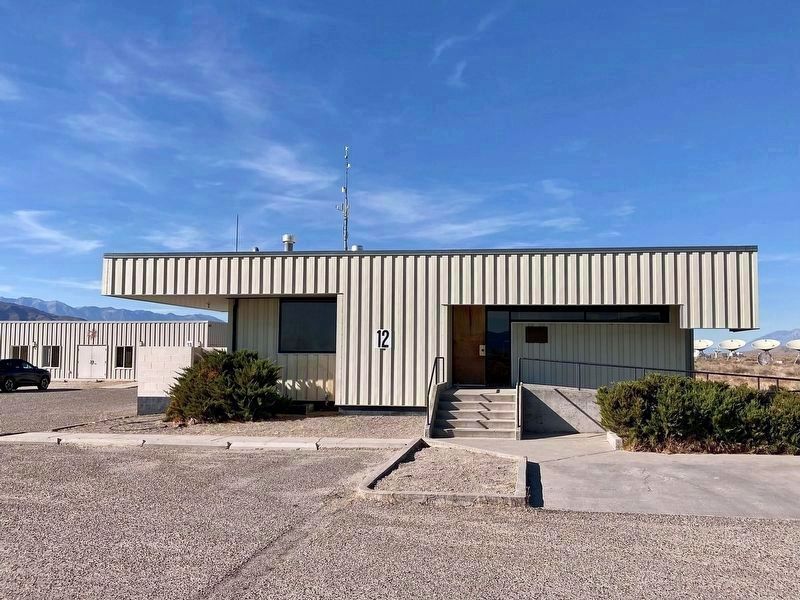
7. Mayer Control Center
Another control center building is at far left.
Photographed by Craig Baker, October 25, 2026
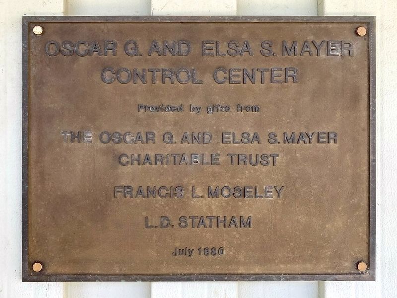
8. Mayer Control Center Dedication — 1980
Credits. This page was last revised on November 10, 2026. It was originally submitted on November 4, 2026, by Craig Baker of Sylmar, California. This page has been viewed 15 times since then. Photos: 1, 2, 3, 4, 5, 6, 7, 8. submitted on November 4, 2026, by Craig Baker of Sylmar, California.
