Colo in Story County, Iowa — The American Midwest (Upper Plains)
Jefferson Highway
Photographed by Jason Voigt, October 18, 2026
1. Jefferson Highway Marker
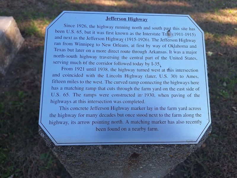
Since 1926, the highway running north and south past this site has been U.S. 65, but it was first known as the Interstate Trace (1911-1915) and next as the Jefferson Highway (1915-1926). The Jefferson Highway ran from Winnipeg to New Orleans, at first by way of Oklahoma and Texas but later on a more direct route through Arkansas. It was a major north-south highway traversing the central part of the United States, serving much of the corridor followed today by I-35.
From 1921 until 1938, the highway turned west at this intersection and coincided with the Lincoln Highway (later, U.S. 30) to Ames, fifteen miles to the west. The curved ramp connecting the highways here has a matching ramp that cuts through the farm yard on the east side of U.S. 65. The ramps were constructed in 1930, when paving of the highways at this intersection was completed.
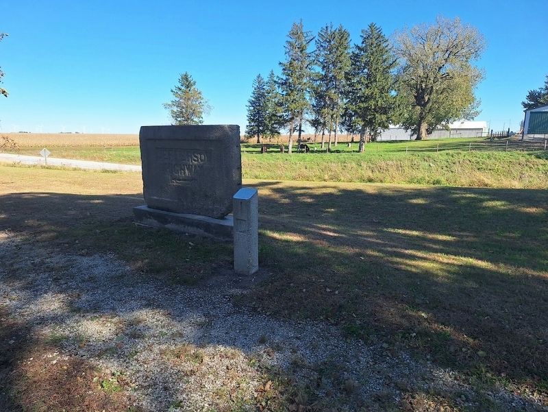
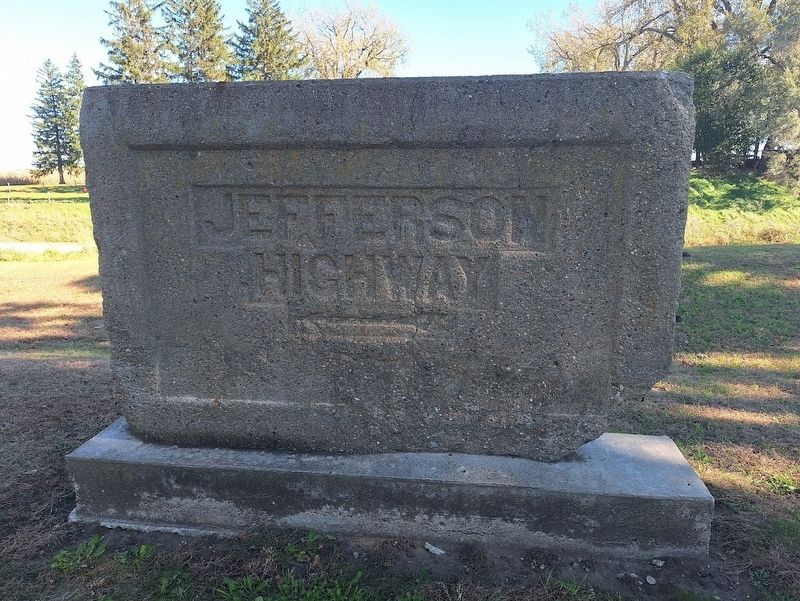
This concrete Jefferson Highway marker lay in the farm yard across the highway for many decades but once stood next to the farm along the highway, its arrow pointing north. A matching marker has also recently been found on a nearby farm.
Topics and series. This historical
this page online
Location. 42° 1.385′ N, 93° 18.587′ W. Marker is in Colo, Iowa, in Story County. It can be reached from the intersection of Lincoln Highway (Iowa Route 930) and U.S. 65. Marker is behind the Colo Motel at the Reed-Niland corner. Touch for map. Marker is at or near this postal address: 12 Lincoln Hwy, Colo IA 50056, United States of America. Touch for directions.

Regionally, this marker is in Greater Des Moines. It is also in the American Midwest and in the Corn Belt. Globally, it is in North America, the Western Hemisphere, the Western World, and the Anglosphere. Historically, it finds itself in what was once the territory of the Mississippian Culture and also the Louisiana Purchase.
Other nearby markers. At least 8 other markers are within walking distance of this marker: Colo Cabin Camp (within shouting distance of this marker); Highway Grade Separation (within shouting distance of this marker); Colo Motel (within shouting distance of this marker); a different
Photographed by Jason Voigt, October 18, 2026
2. Jefferson Highway Marker
Photographed by Jason Voigt, October 18, 2026
3. Jefferson Highway Marker
The old Jefferson Highway sign, with the arrow pointing to the left (or north)
Credits. This page was last revised on November 4, 2026. It was originally submitted on November 4, 2026, by Jason Voigt of Glen Carbon, Illinois. This page has been viewed 16 times since then. Photos: 1, 2, 3. submitted on November 4, 2026, by Jason Voigt of Glen Carbon, Illinois.
