Roanoke, Virginia — The American South (Mid-Atlantic)
Floating on the River: Batteau History
Photographed by Bernard Fisher, November 3, 2026
1. Floating on the River: Batteau History Marker
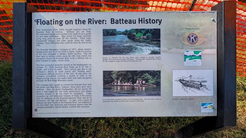
River exploration in the 1800s brought explorers along the Roanoke River by batteau. Batteaux (pl.) are large, flat-bottomed barges with pointed ends made to carry goods up and down waterways. Men moved the boats upstream using long poles to push off the riverbed. These boats transported tobacco and other goods along the "public highway" more effectively than could be done by land at the time.
The Roanoke Navigation Company of 1815, whose western headquarters was on Union Street in Salem, made this portion of the river navigable to Weldon, North Carolina. They did their best to remove rubble along the 240-mile stretch, but navigators found the Roanoke River to be a difficult trek as they reached its upper, rockier limits.
The first successful workmen arrived at the headquarters on October 11, 1828, pushing three boats up to 62 feet in length, and 8 feet in width. Their success was due to the company's efforts to build sluices and "hauling walls" throughout difficult sections of the river. At one point, the company considered installing a system of locks in the Niagara Gorge area to raise water levels and make navigation
this page online
The company later sought to connect the Roanoke River with the James and New Rivers; however, these plans were never realized. Also, the Salem headquarters did not receive the glory it had hoped for; the rocky obstructions and railway systems proved to be too much for navigators. Today canoeists can still rediscover remains of many of the sluices built for batteaux on the Roanoke/Staunton River and on its tributaries, the Dan and Banister. To date, only a piece of batteau has been found on the Roanoke River, but evidence of the described river structures and historical reports from the company president, Samuel Pannill, confirm their presence.
(captions)
Sluices, or channels like the one above, were created to provide smooth, boulder-free movement through riffle areas. "Hauling walls" boasted flat surfaces for the navigators to get out and pull the boat up river.
A re-enactment of batteau history on the Roanoke River. Here the poles used for propulsion are visible, as well as the structure of the boat.
An artist's sketch of a batteau.
For more information contact The Roanoke Canal Museum and Trail, The Dan River Basin Association, and The Virginia Canals & Navigations Society.
Erected by Roanoke
Photographed by Bernard Fisher, November 3, 2026
2. Roanoke River Greenway
Topics. This historical marker is listed in these topic lists: Exploration • Industry & Commerce • Waterways & Vessels. A significant historical date for this entry is October 11, 1828.
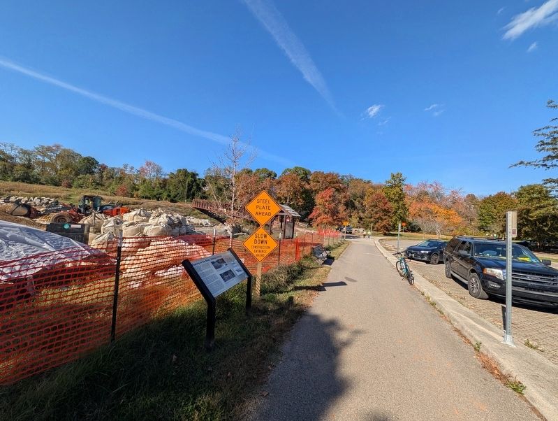
Location. 37° 16.02′ N, 79° 57.77′ W. Marker is in Roanoke in , Virginia. It can be reached from the intersection of Winchester Avenue SW and 12th Street SW, on the right when traveling west. Located along the Roanoke River Greenway. Touch for map. Marker is at or near this postal address: 1001 Winchester Ave SW, Roanoke VA 24015, United States of America. Touch for directions.

Regionally, this marker is in the American South and specifically in the Upper South. Globally, it is in North America, the Western Hemisphere, the Western World, and the Anglosphere. Historically, it finds itself in what was once the territory of the Mississippian Culture, one of the original Thirteen Colonies, one of the Confederate States of America, and the Antebellum South.
Other nearby markers. At least 8 other markers are within walking distance of this marker: Torteras Village Indian Trail (approx. ¼ mile away); Roanoke Memorial Bridge (approx. ¼ mile away); James Alexander Tract Boundary (approx. ¼ mile away); Wiley Drive Bridge Replacement (approx. 0.4 miles away); Birthplace of Henrietta Lacks (approx. 0.6 miles away); Fire Station No. 7 (approx. 0.6 miles away); 511 Day Ave SW (approx. 0.7 miles away); The Norwich Neighborhood (approx. 0.8 miles away). Touch for a list and map of all markers in Roanoke.
Also see . . .
1. Roanoke River Greenway. (Submitted on November 5, 2026.)
2. Roanoke Valley Greenways. (Submitted on November 5, 2026.)
Credits. This page was last revised on November 5, 2026. It was originally submitted on November 5, 2026, by Bernard Fisher of Richmond, Virginia. This page has been viewed 3 times since then. Photos: 1, 2. submitted on November 5, 2026, by Bernard Fisher of Richmond, Virginia.
