Near Pocahontas in Hardeman County, Tennessee — The American South (East South Central)
Battle of Davis Bridge
Photographed by Bradley Owen, October 28, 2026
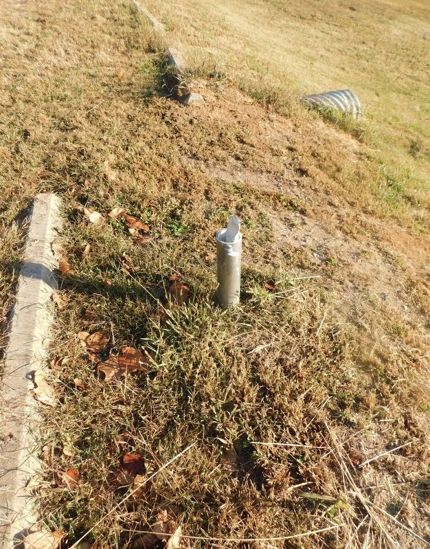
1. Battle of Davis Bridge Marker
Marker is missing.
The Federal charge across the bridge started well enough, but soon slowed and broke down among many casualties.
Confederate artillery had been placed on the high ground on the opposite side of the river and when the Federal attackers found that they could not get into order for a further advance due to the terrain and heavy undergrowth, the casualties began to be excessive - especially on the right.
General Ord had taken on the overall command and attempted to lead more troops across the bridge but was wounded. His foot wound caused him to fall into the river, necessitating a rescue.
General Hurlbut took the overall command once again and was eventually able to organize the troops across the river. It was too late to stop the Confederates from successfully withdrawing.
Topics. This historical marker is listed in this topic list: War, US Civil. A significant historical date for this entry is October 5, 1862.
Location. Marker is missing. It was located near 35° 1.507′ N, 88° 48.579′ W. Marker was near Pocahontas, Tennessee, in Hardeman County. It was on Pocahontas Road 1.3 miles north of Essary Springs Road, on the left when
this page online

Regionally, this marker was in West Tennessee. It was also in the American South, specifically in the Deep South, and specifically in the Upper South. Globally, it was in North America, the Western Hemisphere, the Western World, and the Anglosphere. Historically, it found itself in what was once the territory of the Mississippian Culture, one of the Confederate States of America, and the Antebellum South.
Other nearby markers. At least 8 other markers are within 15 miles of this location, measured as the crow flies: Engagement at Davis Bridge (approx. 0.6 miles away); a different marker also named Battle of Davis Bridge (approx. ¾ mile away); Hell on the Hatchie (approx. 0.9 miles away); a different marker also named Battle of Davis Bridge (approx. 1.6 miles away); Battle of Tuscumbia (approx. 4.3 miles away); Battle Of Chewalla (approx. 9.2 miles away); Veteran's Plaza
Photographed by Bradley Owen, October 28, 2026
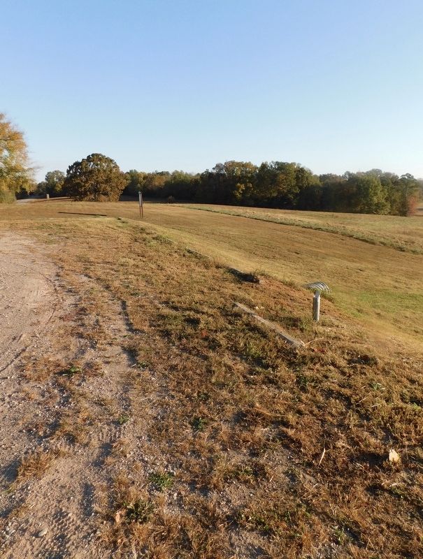
2. Battle of Davis Bridge Marker
Missing marker is on the right.
Photographed by Bradley Owen, October 28, 2026
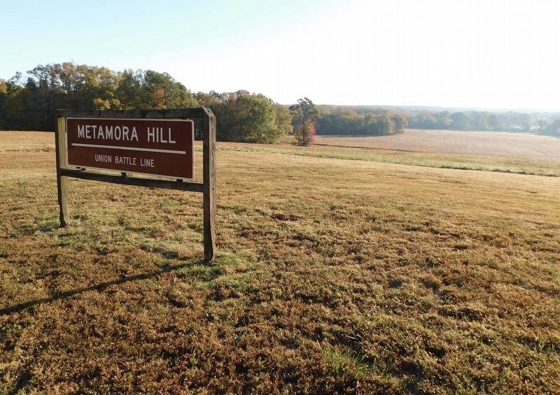
3. Battle of Davis Bridge Battlefield
Union position looking east towards the Confederate lines.
Photographed by Bradley Owen, October 28, 2026
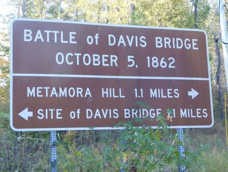
4. Battle of Davis Bridge Directional Signage
Located at the intersection of Pocahontas Road and Essary Springs Road.
Credits. This page was last revised on November 5, 2026. It was originally submitted on November 5, 2026, by Bradley Owen of Morgantown, West Virginia. This page has been viewed 8 times since then. Photos: 1, 2, 3, 4. submitted on November 5, 2026, by Bradley Owen of Morgantown, West Virginia.
