Lacolle in Montérégie, Québec — Central Canada (French-Canadian)
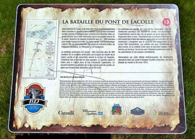
La bataille du pont de Lacolle
Photographed by Cosmos Mariner, May 19, 2024
1. La bataille du pont de Lacolle Marker

La stratégie américaine est simple : faire traverser plus de 300 cavaliers de la cavalerie américaine sur la digue du moulin de la rivière Lacolle et les rassembler devant la maison du forgeron. L'infanterie doit se scinder en deux groupes. Le premier passe la rivière plus à l'ouest dans le but d'encercler l'adversaire. Le second maintient sa position sur la rive sud du pont de Lacolle, en appui aux troupes déjà déployées la rive nord.
La confusion est grande. Un coup de feu involontaire chez les Américains provoque une réaction en chaîne. Une quarantaine d'autochtones lancent des cris de guerre au poste
this page online
Démoralisés par cette défaite embarrassante, les Américains attendront deux ans avant d'attaquer Lacolle à nouveau, lors de la Bataille du moulin le 30 mars 1814.
Early on the foggy morning of November 20th 1812, the American Army led by General Henry Dearborn was set to cross the border into Canada at Odelltown. The goal was to capture Montreal. However, a large number of reservists refused to cross into Canada. From the 5,000 man force stationed at Champlain, NY, General Dearborn was left with only 1,100 men. At Riviere Lacolle, the British Army, made up of elite militiamen, Canadian Voltigeurs, Mohawks and Voyageurs, was ready and waiting. The American strategy
Photographed by Cosmos Mariner, May 19, 2024
2. La bataille du pont de Lacolle Marker
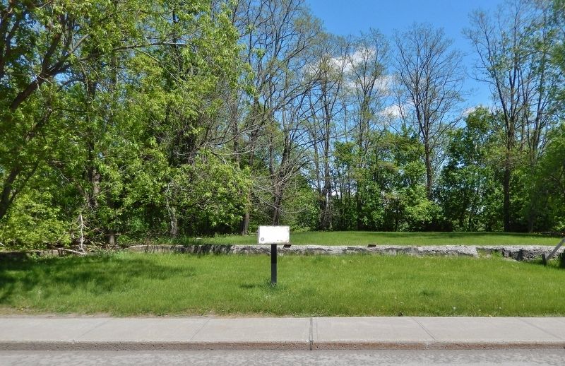
Looking east from Rue de l'Église Sud (Québec Route 221).
Erected by Tourisme Saint-Jean-sur-Richelieu & région. (Marker Number 13.)
Topics. This historical marker is listed in these topic lists: Bridges & Viaducts • Indigenous Peoples and Communities • War of 1812. A significant historical date for this entry is November 20, 1812.
Location. 45° 4.792′ N, 73° 22.333′ W. Marker is in Lacolle, Québec, in Montérégie. It is on Rue de l'Église Sud (Québec Route 221) just north of Rue du Moulin, on the right when traveling north. Touch for map. Marker is in this post office area: Lacolle QC J0J 1J0, Canada. Touch for directions.

Regionally, this marker is in Greater Montréal. It is also in Central Canada. Globally, it is in North America, the Western Hemisphere, and the Western World. Historically, it finds itself in what was once a British colony, the Viceroyalty of New France, the Haudenosaunee (Iroquois) Confederacy, and Rupert’s Land.
Other nearby markers. At least 8 other markers are within 3 kilometers of this marker, measured as the crow flies: Lacolle War Memorial (about 120 meters away, measured in a direct line); Hôtel de ville de Lacolle (about 120 meters away); L'Église Unie de Lacolle (about 150 meters away); Église Notre-Dame-du-Mont-Carmel (approx. 0.4 kilometers away); Blockhaus de la Rivière-Lacolle (approx. 2.6 kilometers away); Bataille du Moulin de Lacolle / Battle of the Lacolle Mill (approx. 2.6 kilometers away); a different marker also named Blockhaus de la Rivière-Lacolle (approx. 2.6 kilometers away); Saint-Bernard-de-Lacolle Historique (approx. 3.2 kilometers away). Touch for a list and map of all markers in Lacolle.
Credits. This page was last revised on November 5, 2026. It was originally submitted on November 5, 2026, by Cosmos Mariner of Cape Canaveral, Florida. This page has been viewed 4 times since then. Photos: 1, 2. submitted on November 5, 2026, by Cosmos Mariner of Cape Canaveral, Florida.
