Colo in Story County, Iowa — The American Midwest (Upper Plains)
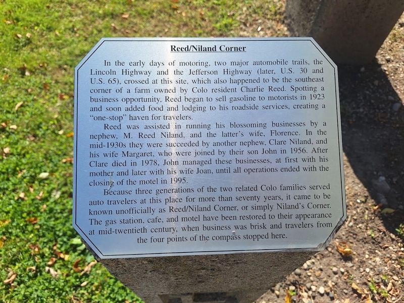
Reed/Niland Corner
Photographed by Jason Voigt, October 18, 2026
1. Reed/Niland Corner Marker
In the early days of motoring, two major automobile trails, the Lincoln Highway and the Jefferson Highway (later, U.S. 30 and U.S. 65), crossed at this site, which also happened to be the southeast corner of a farm owned by Colo resident Charlie Reed. Spotting a business opportunity, Reed began to sell gasoline to motorists in 1923 and soon added food and lodging to his roadside services, creating a "one-stop" haven for travelers.
Reed was assisted in running his blossoming businesses by a nephew, M. Reed Niland, and the latter's wife, Florence. In the mid-1930s they were succeeded by another nephew, Clare Niland, and his wife Margaret, who were joined by their son John in 1956. After Clare died in 1978, John managed these businesses, at first with his mother and later with his wife Joan, until all operations ended with the closing of the motel in 1995.
Because three generations of the two related Colo families served auto travelers at this place for more than seventy years, it came to be known unofficially as Reed/Niland Corner, or simply Niland's Corner. The gas station, café, and motel have been restored to their
this page online
Topics and series. This historical marker is listed in these topic lists: Industry & Commerce • Roads & Vehicles. In addition, it is included in the Jefferson Highway, and the Lincoln Highway series lists. A significant historical year for this entry is 1923.
Location. 42° 1.356′ N, 93° 18.658′ W. Marker is in Colo, Iowa, in Story County. It is on Lincoln Highway (Iowa Route 930) west of U.S. 65, on the right when traveling west. Touch for map. Marker is at or near this postal address: 24 Lincoln Hwy, Colo IA 50056, United States of America. Touch for directions.

Regionally, this marker is in Greater Des Moines. It is also in the American Midwest and in the Corn Belt. Globally, it is in North America, the Western Hemisphere, the Western World, and the Anglosphere. Historically, it finds itself in what was once the territory of the Mississippian Culture and also the Louisiana Purchase.
Other nearby markers. At least 8 other markers are within walking distance of this marker: Service Station (here,
Photographed by Jason Voigt, October 18, 2026
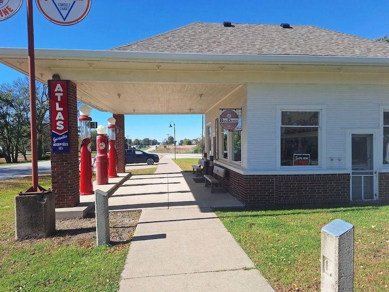
2. Reed/Niland Corner Marker
Marker is on the left, next to the old service station (now a museum)
Credits. This page was last revised on November 5, 2026. It was originally submitted on November 5, 2026, by Jason Voigt of Glen Carbon, Illinois. This page has been viewed 5 times since then. Photos: 1, 2. submitted on November 5, 2026, by Jason Voigt of Glen Carbon, Illinois.
