Port Tobacco in Charles County, Maryland — The American Northeast (Mid-Atlantic)
Maryland Liberty Tree Project
Photographed by Evan Dwyer, October 31, 2026
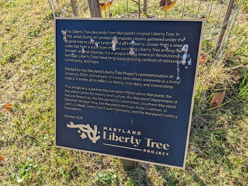
1. Maryland Liberty Tree Project Marker
This Liberty Tree descends from Maryland's original Liberty Tree. In 1765, amid Stamp Act Protests, Annapolis citizens gathered under the original tree to oppose tyranny and affirm liberty. Grown from a seed collected from a scion from the last surviving Liberty Tree among the thirteen original colonies, it is a unique link to America's Revolutionary heritage. Liberty Trees have long stood as living symbols of resistance, community, and hope.
Planted for the Maryland Liberty Tree Project's commemoration of America's 250th anniversary, this tree joins others statewide as a living legacy. It invites all to reflect on liberty, civic duty, and stewardship.
This initiative is a partnership between Preservation Maryland, the Maryland Center for History and Culture, the Maryland Department of Natural Resources, the Maryland250 Commission, Southern Maryland National Heritage Area, the Maryland Heritage Areas Coalition, St. John's College, Davey Tree Expert Company, and the Maryland Forestry Foundation.
Planted 2026
Erected 2026 by Preservation Maryland, the Maryland Center for History and Culture, the Maryland Department
this page online
Topics. This historical marker is listed in these topic lists: Colonial Era • Horticulture & Forestry • Patriots & Patriotism • War, US Revolutionary. A significant historical year for this entry is 1765.
Location. 38° 31.866′ N, 77° 2.378′ W. Marker is in Port Tobacco, Maryland, in Charles County. It can be reached from Rose Hill Road 0.4 miles south of Wembly Place, on the right when traveling south. Marker is on the grounds of Thomas Stone National Historic Site, on the west lawn near the kitchen wing of the main house. Touch for map. Marker is at or near this postal address: 6655 Rose Hill Road, Port Tobacco MD 20677, United States of America. Touch for directions.

Regionally, this marker is in the Washington Metropolitan Area and in Southern Maryland. It is also in the American South, specifically in the Upper South, in the Mid-Atlantic, in the Tidewater, and on the Eastern Seaboard. Globally, it
Photographed by Evan Dwyer, October 31, 2026
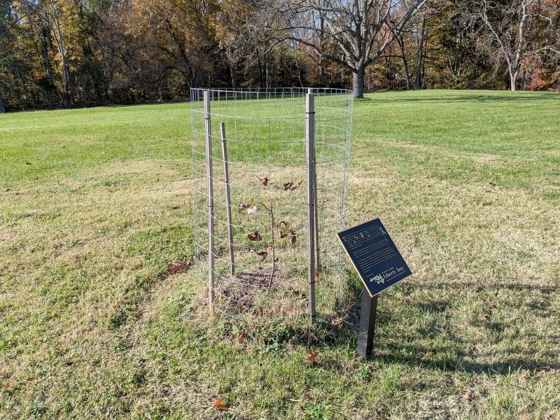
2. Maryland Liberty Tree Project Marker
And the tree sapling itself, in the early autumn of the year of its planting.
Other nearby markers. At least 8 other markers are within walking distance of this marker: The Stones of Maryland (here, next to this marker); Thomas Stone (about 600 feet away, measured in a direct line); Welcome to Haberdeventure! (about 700 feet away); Discover Thomas Stone National Historic Site (approx. 0.2 miles away); Discover Southern Maryland’s Amazing Stories of Exploration, Hope, and Courage (approx. 0.2 miles away); Ways to Explore Southern Maryland’s Scenic and Historic Routes (approx. 0.2 miles away); a different marker also named Welcome to Haberdeventure! (approx. 0.2 miles away); a different marker also named Welcome to Haberdeventure! (approx. ¼ mile away). Touch for a list and map of all markers in Port Tobacco.
Photographed by Evan Dwyer, October 31, 2026
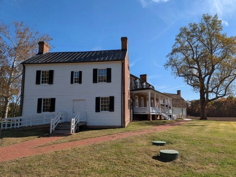
3. Haberdeventure
View of the Thomas Stone house (specifically the west wing - the kitchen) from the tree marker. The center portion of the house and the office outbuilding, all connected together by hyphens to form one long structure, are beyond.
Credits. This page was last revised on November 5, 2026. It was originally submitted on November 5, 2026, by Evan Dwyer of Richmond, Virginia. This page has been viewed 2 times since then. Photos: 1, 2, 3. submitted on November 5, 2026, by Evan Dwyer of Richmond, Virginia.
