Colo in Story County, Iowa — The American Midwest (Upper Plains)
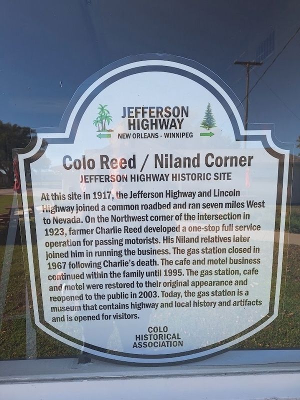
Colo Reed/Niland Corner
Jefferson Highway Historic Site
Photographed by Jason Voigt, October 18, 2026
1. Colo Reed/Niland Corner Marker
At this site in 1917, the Jefferson Highway and Lincoln Highway joined a common roadbed and ran seven miles West to Nevada. On the Northwest corner of the intersection in 1923, farmer Charlie Reed developed a one-stop full service operation for passing motorists. His Niland relatives later joined him in running the business. The gas station closed in 1967 following Charlie's death. The café and motel business continued within the family until 1995. The gas station, café and motel were restored to their original appearance and reopened to the public in 2003. Today, the gas station is a museum that contains highway and local history and artifacts and is opened for visitors.
Erected by Colo Historical Association and Jefferson Highway Association.
Topics and series. This historical marker is listed in these topic lists: Industry & Commerce • Roads & Vehicles. In addition, it is included in the Jefferson Highway, and the Lincoln Highway series lists. A significant historical year for this entry is 1917.
Location. 42° 1.359′ N, 93° 18.659′ W. Marker is in Colo, Iowa, in Story County. It is on Lincoln Highway (Iowa
this page online

Regionally, this marker is in Greater Des Moines. It is also in the American Midwest and in the Corn Belt. Globally, it is in North America, the Western Hemisphere, the Western World, and the Anglosphere. Historically, it finds itself in what was once the territory of the Mississippian Culture and also the Louisiana Purchase.
Other nearby markers. At least 8 other markers are within walking distance of this marker: Service Station (here, next to this marker); Reed/Niland Corner (here, next to this marker); Niland's Cafe (a few steps from this marker); Colo Motel (within shouting distance of this marker); Lincoln Highway (within shouting distance of this marker); Colo Cabin Camp (within shouting distance of this marker); a different marker also named Colo Motel (within shouting distance of this marker); Highway Grade Separation (about 300 feet away, measured in a direct line). Touch for a list and map of all markers in Colo.
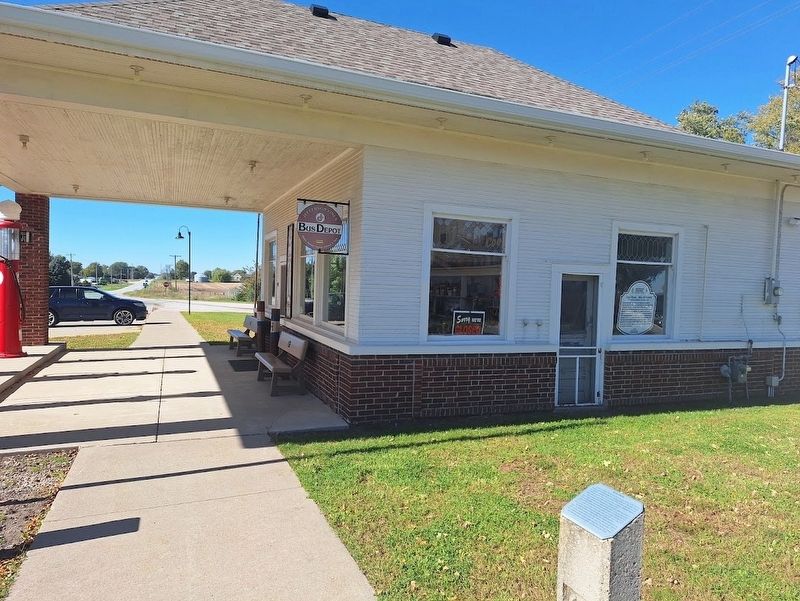
Photographed by Jason Voigt, October 18, 2026
2. Colo Reed/Niland Corner Marker
Credits. This page was last revised on November 5, 2026. It was originally submitted on November 5, 2026, by Jason Voigt of Glen Carbon, Illinois. This page has been viewed 6 times since then. Photos: 1, 2. submitted on November 5, 2026, by Jason Voigt of Glen Carbon, Illinois.
