Lafayette in Tippecanoe County, Indiana — The American Midwest (Great Lakes)
Richardville Reserve and Wyandot Indian Village
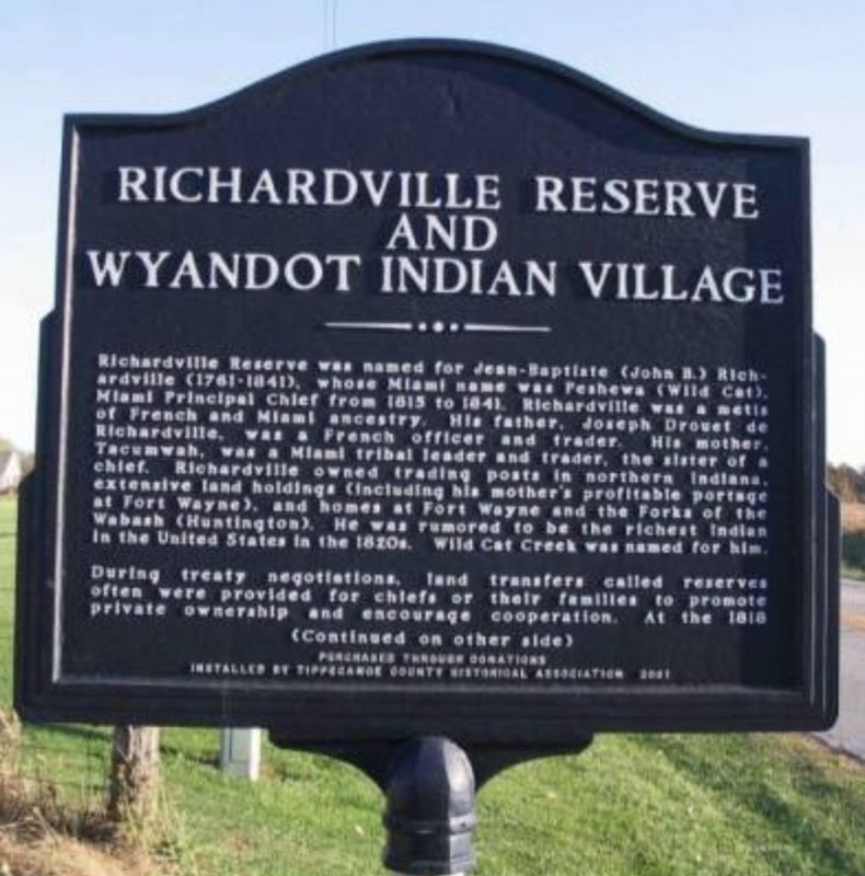
1. Richardville Reserve and Wyandot Indian Village Marker
Richardville Reserve was named for Jean-Baptiste (John B.) Richardville (1761-1841), whose Miami name was Peshewa (Wild Cat), Miami Principal Chief from 1815-1841. Richardville was a metis of French and Miami ancestry. His father, Joseph Drouet de Richardville, was a French officer and trader. His mother, Tacumwah, was a Miami tribal leader and trader, the sister of a chief. Richardville owned a trading post in northern Indiana, extensive land holdings (including his mother’s profitable portage at Fort Wayne), and homes at Fort Wayne and the Forks of the Wabash (Huntington). He was rumored to be the richest Indian in the United States in the 1820's. Wild Cat Creek was named for him.
During treaty negotiations, land transfers called reserves often were provided for chiefs or their families to promote private ownership and encourage cooperation. At the 1818 Treaty of St. Mary’s, five sections for Keensquatakqua (Long Hair), Aronzon (Twilight), Peconbequa (A Woman Striking), Aughquamauda (Difficulty), and Miaghuqua (Noon), all children of Richardville. The boundaries were fixed when the Richardville Reserve was survey in
this page online
When the first white families arrived, in 1823, just ahead of the surveyors, they found Potawatomi living in log cabins and wigwams. A trading post was nearby. In 1828, a treaty with the Eel River Indians of Thorntown was negotiated at the village. The following year, the Richardvilles sold the land to Samuel McGeorge, a trader and farmer who raised race horses. The Potawatomi are thought to have left when their tribe was removed in 1838.
Erected 2001 by Tippecanoe County Historical Association.
Topics. This historical marker is listed in these topic lists: Indigenous Peoples and Communities • Settlements & Settlers. A significant historical year for this entry is 1818.
Location. Marker is missing. It was located near 40° 20.816′ N, 86° 45.391′ W. Marker was in Lafayette, Indiana, in Tippecanoe County. It was on Dayton Road south of Preflight Path, on the left when traveling south. In front of the Wyandotte Cemetery. Touch for map. Marker was at or near this postal address: 4811 Dayton Road, Lafayette IN 47905, United States of America. Touch for directions.

Regionally, this marker was in Central Indiana. It was
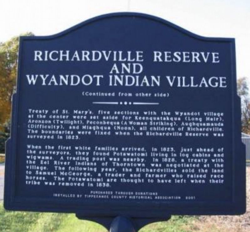
2. Richardville Reserve and Wyandot Indian Village Marker
Other nearby markers. At least 8 other markers are within 8 miles of this location, measured as the crow flies: Wyandotte (approx. 0.4 miles away); Site Of First Successful Caesarean In Indiana (approx. 1.9 miles away); Margaret Fry (approx. 2 miles away); Patriot Burials (approx. 3.2 miles away); "World Split Asunder" (approx. 6.9 miles away); George Souders and Roscoe Sarles (approx. 7.4 miles away); Tippecanoe County War Memorial (approx. 7.6 miles away); a different marker also named Tippecanoe County War Memorial (approx. 7.7 miles away). Touch for a list and map of all markers in Lafayette.
Credits. This page was last revised on November 6, 2026. It was originally submitted on November 6, 2026, by Marie Harrington of Lafayette, Indiana. This page has been viewed 7 times since then. Photos: 1, 2. submitted on November 6, 2026, by Marie Harrington of Lafayette, Indiana. • Devry Becker Jones was the editor who published this page.
Editor’s want-list for this marker. Verification of the marker's former geocoordinates. • Wide shot of the marker from when it stood. • Can you help?
