Upper Pittsgrove Township in Daretown in Salem County, New Jersey — The American Northeast (Mid-Atlantic)
Pittsgrove Church
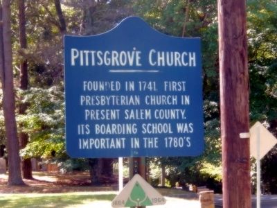
Photographed by Don Morfe, September 6, 2015
1. Pittsgrove Church Marker
Topics. This historical marker is listed in these topic lists: Colonial Era • Education • Religion & Religious Structures. A significant historical year for this entry is 1741.
Location. 39° 35.995′ N, 75° 15.722′ W. Marker has been reported unreadable. Marker is in Daretown, New Jersey, in Salem County. It is in Upper Pittsgrove Township. It is on Daretown Road south of Bridgetown Road (County Road 614), on the left when traveling south. Touch for map. Marker is at or near this postal address: 308 Daretown Rd, Elmer NJ 08318, United States of America. Touch for directions.

Regionally, this marker is in Greater Wilmington, in South Jersey, and in Greater Philadelphia. It is also in the American Northeast, in the Mid-Atlantic, and on the Eastern Seaboard. Globally, it is in the North Atlantic Region, North America, the Western Hemisphere, the Western World, and the Anglosphere. Historically, it finds itself in what was once New Netherland and also one of the original Thirteen Colonies.
this page online
Other nearby markers. At least 8 other markers are within 5 miles of this location, measured as the crow flies: Old Pittsgrove Presbyterian Church (about 300 feet away, measured in a direct line); Pole Tavern Cannon (approx. 2.1 miles away); Dickinson House (approx. 3.8 miles away); Fire Ring (approx. 4.7 miles away); County Bridges (approx. 4.7 miles away); World Wars I & II Memorial (approx. 4.7 miles away); Spc. Richard C. Emmons III (approx. 4.7 miles away); Korea and Vietnam Conflicts Memorial (approx. 4.7 miles away).
Another marker is no longer nearby. Wistarburg Glass Works - Alloway (was approx. 4.6 miles away but has been confirmed missing).
Also see . . . Pittsgrove Presbyterian Church History. (Submitted on September 13, 2015, by Bill Pfingsten of Bel Air, Maryland.)
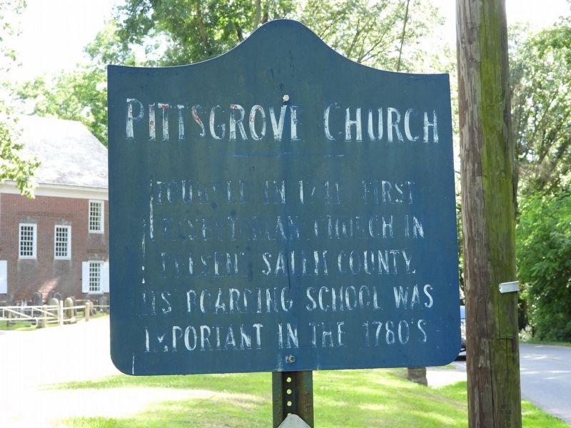
Photographed by Donald B. Caselli (Barry), June 8, 2024
2. Pittsgrove Church Marker in its weathered condition as of 2024
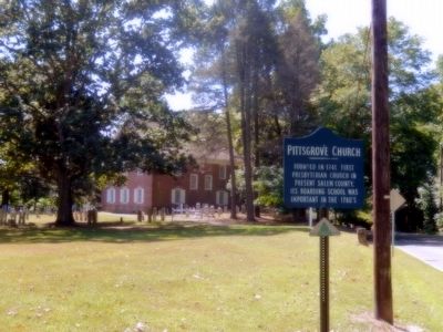
Photographed by Don Morfe, September 6, 2015
3. Pittsgrove Church Marker
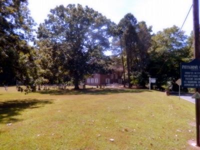
Photographed by Don Morfe, September 6, 2015
4. Pittsgrove Church
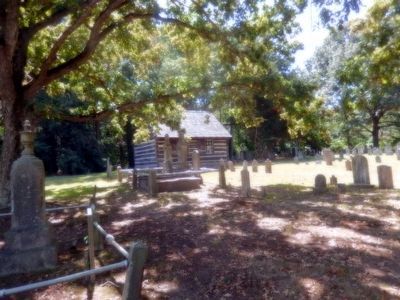
Photographed by Don Morfe, September 6, 2015
5. Pittsgrove Church Cemetery
Credits. This page was last revised on November 6, 2026. It was originally submitted on September 11, 2015, by Don Morfe of Baltimore, Maryland. This page has been viewed 385 times since then and 24 times this year. Last updated on November 6, 2026, by Donald B. Caselli (Barry) of Hopewell, Virginia. Photos: 1. submitted on September 11, 2015, by Don Morfe of Baltimore, Maryland. 2. submitted on November 6, 2026, by Donald B. Caselli (Barry) of Hopewell, Virginia. 3, 4, 5. submitted on September 11, 2015, by Don Morfe of Baltimore, Maryland. • Devry Becker Jones was the editor who published this page.
