Columbia in Fluvanna County, Virginia — The American South (Mid-Atlantic)
Rassawek
Photographed by Bernard Fisher, June 6, 2010
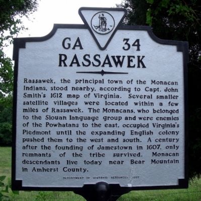
1. Rassawek Marker
Rassawek, the principal town of the Monacan Indians, stood nearby, according to Capt. John Smith's 1612 map of Virginia. Several smaller satellite villages were located within a few miles of Rassawek. The Monacans, who belonged to the Siouan language group and were enemies of the Powhatans to the east, occupied Virginia's Piedmont until the expanding English colony pushed them to the west and south. A century after the founding of Jamestown in 1607, only remnants of the tribe survived. Monacan descendants live today near Bear Mountain in Amherst County.
Erected 1997 by Department of Historic Resources. (Marker Number GA-34.)
Topics and series. This historical marker is listed in these topic lists: Colonial Era • Exploration • Indigenous Peoples and Communities. In addition, it is included in the Virginia Department of Historic Resources (DHR) series list. A significant historical year for this entry is 1612.
Location. 37° 45.759′ N, 78° 10.823′ W. Marker is in Columbia, Virginia, in Fluvanna County. It is on East River Road (Virginia Route 6) 0.9 miles east of Bremo Road ( Route 656), on the right when traveling
this page online

Regionally, this marker is in the Piedmont and in Central Virginia. It is also in the American South and specifically in the Upper South. Globally, it is in North America, the Western Hemisphere, the Western World, and the Anglosphere. Historically, it finds itself in what was once the territory of the Mississippian Culture, one of the original Thirteen Colonies, one of the Confederate States of America, and the Antebellum South.
Other nearby markers. At least 8 other markers are within 5 miles of this marker, measured as the crow flies: Point of Fork (a few steps from this marker); Lafayette's Tour (approx. 1.2 miles away); a different marker also named Point of Fork (approx. 1.6 miles away); a different marker also named Point of Fork (approx. 3.3 miles away); Fluvanna County World War Memorial (approx. 3.3 miles away); Second Century Guarantors (approx. 4½ miles away); Fork Union Academy (approx. 4½ miles away); World War I Field Gun (approx. 4½ miles away). Touch for a list and map of all
Photographed by Bernard Fisher, June 6, 2010
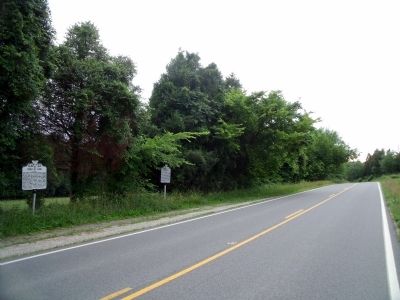
2. E River Rd (facing west)
Also see . . .
1. Monacan Indian Nation. Tribal website homepage (Submitted on June 6, 2010, by Bernard Fisher of Richmond, Virginia.)
2. Seven Islands Archeological and Historic District. Wikipedia entry (Submitted on September 21, 2022, by Larry Gertner of New York, New York.)
Photographed by J. J. Prats, October 22, 2010
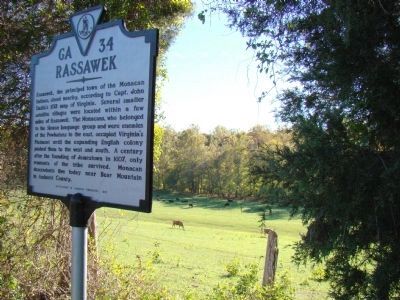
3. Rassawek Marker
Credits. This page was last revised on September 21, 2022. It was originally submitted on June 6, 2010, by Bernard Fisher of Richmond, Virginia. This page has been viewed 2,209 times since then and 85 times this year. Photos: 1, 2. submitted on June 6, 2010, by Bernard Fisher of Richmond, Virginia. 3. submitted on October 23, 2010, by J. J. Prats of Powell, Ohio.
