Trinity-Bellwoods in Toronto, Ontario — Central Canada (North America)
Crawford Street Bridge
Photographed by Tim Boyd, November 2, 2026
1. Crawford Street Bridge Marker
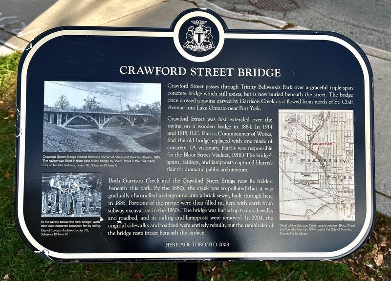
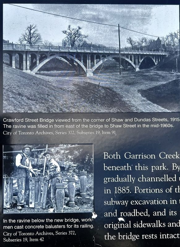
Crawford Street was first extended over the ravine on a wooden bridge in 1884. In 1914 and 1915, R.C. Harris, Commissioner of Works, had the old bridge replaced with one made of concrete. (A visionary, Harris was responsible for the Bloor Street Viaduct, 1918.) The bridge's spans, railings, and lampposts captured Harris's flair for dramatic public architecture.
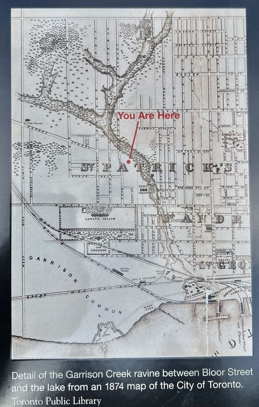
Both Garrison Creek and the Crawford Street Bridge now lie hidden beneath this park. By the 1880s, the creek was so polluted that it was gradually channelled underground into a brick sewer, built through here in 1885. Portions of the ravine were then filled in, here with earth from subway excavation in the 1960s. The bridge was buried up to its sidewalks and roadbed, and its railing and lampposts were removed. In 2004, the original sidewalks and roadbed were entirely rebuilt, but the remainder of the bridge rests beneath the surface.
Erected 2008 by Heritage Toronto.
Topics and series. This historical marker is listed in these topic lists: Bridges & Viaducts
this page online
Location. 43° 38.949′ N, 79° 25.008′ W. Marker is in Toronto, Ontario. It is in Trinity-Bellwoods. It is on Crawford Street 0.1 kilometers south of Dundas Street West, on the left when traveling north. Touch for map. Marker is at or near this postal address: 1 Bellwoods Park, Toronto ON M6J 1W7, Canada. Touch for directions.

Regionally, this marker is in Greater Toronto and on the Golden Horseshoe. It is also in Central Canada. Globally, it is in North America, on the Great Lakes, in the Western Hemisphere, in the Western World, and in the Anglosphere. Historically, it finds itself in what was once a British colony, the Viceroyalty of New France, the Haudenosaunee (Iroquois) Confederacy, and Rupert’s Land.
Other nearby markers. At least 8 other markers are within walking distance of this marker: St. Hilda’s College (about 120 meters away, measured in a direct line); The Church of the Good Samaritan (about 120 meters away); John Gibson House (about 120 meters away); Colonel James Givins (approx. 0.4 kilometers away); Muhammad Ali vs. George Chuvalo (approx. 0.4 kilometers away); Grace Bagnato (approx. half a kilometer away); Trinity College (approx. half a kilometer
Photographed by Tim Boyd, November 2, 2026
2. Crawford Street Bridge Marker
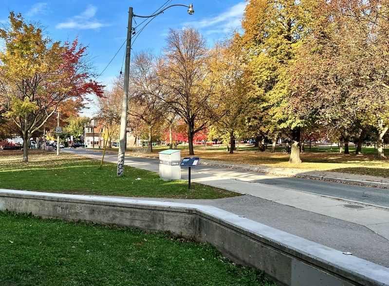
Facing north on Crawford Street
Photographed by Tim Boyd, November 2, 2026
3. Crawford Street Bridge marker photos and captions detail (left)
Photographed by Tim Boyd, November 2, 2026
4. Crawford Street Bridge marker map illustration and caption detail (right)
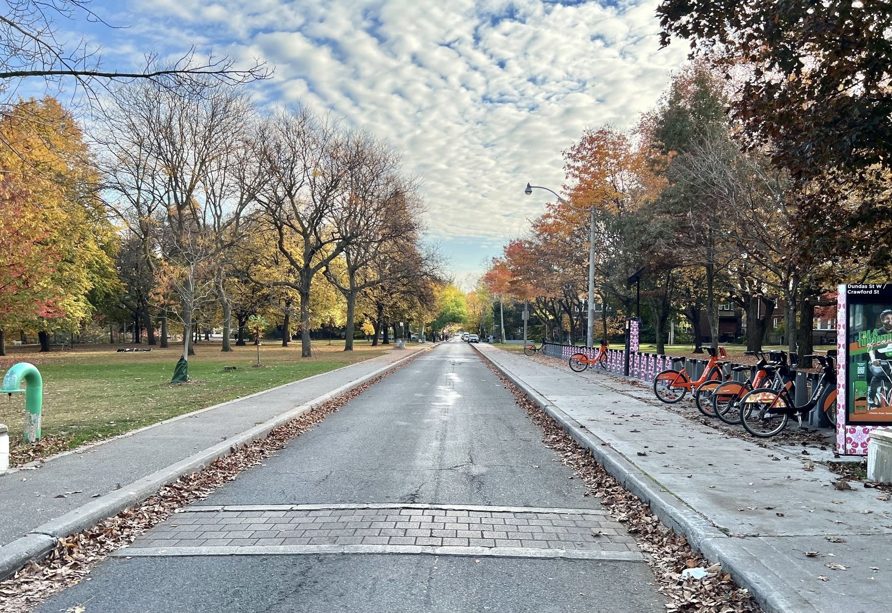
Photographed by Tim Boyd, November 2, 2026
5. Crawford Street, facing south from Dundas Street West, 2026
Credits. This page was last revised on November 9, 2026. It was originally submitted on November 7, 2026, by Tim Boyd of Hamilton, Ontario. This page has been viewed 5 times since then. Photos: 1, 2, 3, 4, 5. submitted on November 7, 2026, by Tim Boyd of Hamilton, Ontario. • Andrew Ruppenstein was the editor who published this page.
