Colo in Story County, Iowa — The American Midwest (Upper Plains)
Highway Grade Separation
Photographed by Jason Voigt, October 18, 2026
1. Highway Grade Separation Marker
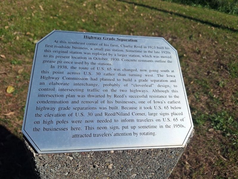
At this southeast corner of his farm, Charlie Reed in 1923 built his first roadside business, a small gas station. Sometime in the late 1920s this original station was replaced by a larger station, which was moved to its present location in October, 1930. Concrete remnants outline the grease pit once used by the stations.
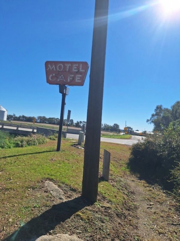
In 1938, the route of U.S. 65 was changed, now going south at this point across U.S. 30 rather than turning west. The Iowa Highway Commission had planned to build a grade separation and an elaborate interchange, probably of "cloverleaf" design, to control intersecting traffic on the two highways. Although this intersection plan was thwarted by Reed's successful resistance to the condemnation and removal of his businesses, one of Iowa's earliest highway grade separations was built. Because it took U.S. 65 below the elevation of U.S. 30 and Reed/Niland Corner, large signs placed on high poles were now needed to inform travelers on U.S. 65 of the businesses here. This neon sign, put up sometime in the 1950s, attracted travelers' attention by rotating.
Topics. This historical marker is listed in
this page online
Location. 42° 1.356′ N, 93° 18.585′ W. Marker is in Colo, Iowa, in Story County. It is on Lincoln Highway (Iowa Route 930) west of U.S. 65, on the right when traveling west. Touch for map. Marker is at or near this postal address: 18 Lincoln Hwy, Colo IA 50056, United States of America. Touch for directions.

Regionally, this marker is in Greater Des Moines. It is also in the American Midwest and in the Corn Belt. Globally, it is in North America, the Western Hemisphere, the Western World, and the Anglosphere. Historically, it finds itself in what was once the territory of the Mississippian Culture and also the Louisiana Purchase.
Other nearby markers. At least 8 other markers are within walking distance of this marker: Colo Motel (within shouting distance of this marker); Jefferson Highway (within shouting distance of this marker); Lincoln Highway (within shouting distance of this marker); Colo Cabin Camp (within shouting distance of this marker); a different marker also named Colo Motel (within shouting distance
Photographed by Jason Voigt, October 18, 2026
2. Highway Grade Separation Marker

Photographed by Jason Voigt, October 18, 2026
3. Highway Grade Separation Marker
photo of the intersection of US 65 going under the Lincoln Highway (formerly U.S. 30)
Credits. This page was last revised on November 7, 2026. It was originally submitted on November 7, 2026, by Jason Voigt of Glen Carbon, Illinois. This page has been viewed 3 times since then. Photos: 1, 2, 3. submitted on November 7, 2026, by Jason Voigt of Glen Carbon, Illinois.
