Sioux City, Iowa — The American Midwest (Upper Plains)
The South Bottoms
Photographed by Barry Swackhamer, July 18, 2025
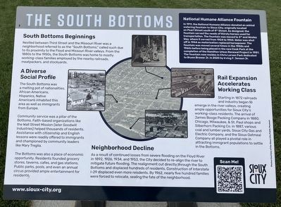
1. The South Bottoms Marker
Captions: (center circle) The Bottoms (aerial view); (clockwise arrow the circle) South Bottoms Residents, Former C&NW Railroad Shops, Flood of 1953, South Bottoms looking Northwest.
Nestled between Third Street and the Missouri River was a neighborhood referred to as the "South Bottoms." called such due to its proximity to the Floyd and Missouri River valleys. From the 1880s to the 1950s, the South Bottoms was home to mostly working-class families employed by the nearby railroads, meatpackers, and stockyards.
A Diverse Social Profile
The South Bottoms was a melting pot of nationalities. African Americans, Hispanics, Native Americans inhabited this area as well as immigrants from Europe.
Community Service was a pillar of the Bottoms. Faith-based organizations like the Wall Street Mission (later Goodwill Industries) helped thousands of residents. Assistance with citizenship and English lessons were readily offered to immigrants and championed by community leaders like Marty Treglia.
The Bottoms was also a place of economic opportunity. Residents founded grocery stores, taverns, cafes, and gas stations. Public parks, pools, and even an annual circus provided ample entertainment for residents.
Rail Expansion Accelerates Working Class
Starting in 1872 railroads
this page online
Neighborhood Decline
As a result of continued losses from severe flooding on the Floyd River in 1892, 1926, 1934, and 1953, the City decided to re-align the river to mitigate future flooding. The realignment cut directly through the South Bottoms and displaced hundreds of residents. Construction of Interstate I-29 displaced even more residents. By 1962, nearly five hundred families were forced to relocate, sealing the fate of the neighborhood.
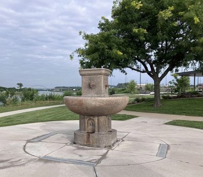
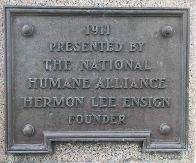
In 1911, the National Humane Alliance donated an animal watering fountain to Sioux City, originally located on Pearl Street south of 4th Street. As designed, the fountain served the needs of thirsty horses used for transportation.
Photographed by Barry Swackhamer, July 18, 2025
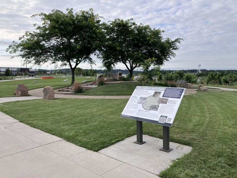
2. The South Bottoms Marker
Erected by Sioux City.
Topics. This historical marker is listed in these topic lists: Animals • Industry & Commerce • Settlements & Settlers • Women. A significant historical year for this entry is 1872.
Location. 42° 29.662′ N, 96° 23.697′ W. Marker is in Sioux City in , Iowa. It is on South Floyd Boulevard near U.S. 29. This marker is located in Chris Larsen Park. Touch for map. Marker is at or near this postal address: 700 South Floyd Boulevard, Sioux City IA, United States of America. Touch for directions.

Regionally, this marker is in the American Midwest and in the Corn Belt. Globally, it is in North America, the Western Hemisphere, the Western World, and the Anglosphere. Historically,
Photographed by Barry Swackhamer, July 18, 2025
3. National Humane Alliance Fountain
Other nearby markers. At least 8 other markers are within 2 miles of this marker, measured as the crow flies: South Side Memorial (approx. 0.6 miles away); The Spirit of Siouxland (approx. 0.9 miles away); Siouxland Veterans Memorial Bridge (approx. 0.9 miles away); Pacific Short Line Bridge (approx. one mile away); Prospect Hill (approx. 1.1 miles away); Pacific Short Line Bridge (Nebraska Side) (approx. 1.1 miles away in Nebraska); The Lewis & Clark Expedition (approx. 1.2 miles away); M.V. Sergeant Floyd (approx. 1.2 miles away). Touch for a list and map of all markers in Sioux City.
Photographed by Barry Swackhamer, July 18, 2025
4. National Humane Alliance Fountain
Credits. This page was last revised on November 7, 2026. It was originally submitted on November 7, 2026, by Barry Swackhamer of Brentwood, California. This page has been viewed 9 times since then. Photos: 1, 2, 3, 4. submitted on November 7, 2026, by Barry Swackhamer of Brentwood, California.
