Yankton in Yankton County, South Dakota — The American Midwest (Upper Plains)
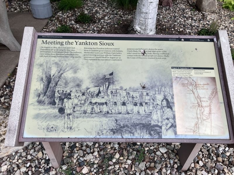
Meeting the Yankton Sioux
Photographed by Barry Swackhamer, July 18, 2025
1. Meeting the Yankton Sioux Marker
Topics. This historical marker is listed in these topic lists: Exploration • Indigenous Peoples and Communities. A significant historical date for this entry is August 27, 1804.
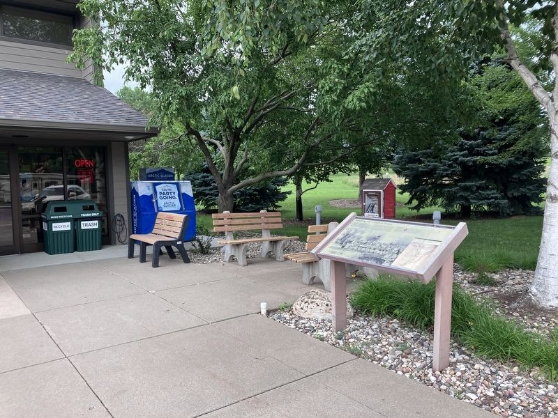
Location. 42° 52.06′ N, 97° 31.288′ W. Marker is in Yankton, South Dakota, in Yankton County. It can be reached from State Highway 52 near Knits Avenue, on the left when traveling west. The marker is located at the Lewis and Clark Recreation Area Welcom Center.
this page online

Regionally, this marker is in the Yankton Sioux Tribe and in East River. It is also in the American Midwest, in the Lewis & Clark Corridor, in the Corn Belt, on the prairies, and on the Northern Plains. Globally, it is in North America, the Western Hemisphere, the Western World, and the Anglosphere. Historically, it finds itself in what was once Rupert’s Land and also the Louisiana Purchase.
Other nearby markers. At least 8 other markers are within 7 miles of this marker, measured as the crow flies: The Lewis & Clark Expedition (here, next to this marker); a different marker also named The Lewis & Clark Expedition (approx. 2.6 miles away in Nebraska); Up the Missouri (approx. 2.6 miles away in Nebraska); Council at Calumet (approx. 2.6 miles away in Nebraska); Gavins Point Dam and Powerplant (approx. 2.6 miles away in Nebraska); The Unmarked and Unknown (approx. 4.7 miles away); Pierre Dorion, Sr. (approx. 6.1 miles away); West Wall / Yankton Stockade (approx. 6.2 miles away). Touch for a list and map
Photographed by Barry Swackhamer, July 17, 2025
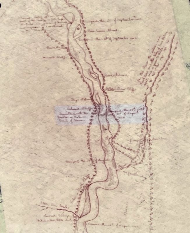
2. Meeting the Yankton Sioux Marker (map insert)
August 26-September 3, 1804
Lewis and Clark marked "Calumet Bluff" - named after the French word for a ceremonial Indian pipe - on their 1804 map. Today, Gavins Point Dam is anchored in a remnant of Calumet Bluff.
Lewis and Clark marked "Calumet Bluff" - named after the French word for a ceremonial Indian pipe - on their 1804 map. Today, Gavins Point Dam is anchored in a remnant of Calumet Bluff.
Photographed by Barry Swackhamer, July 18, 2025
3. Meeting the Yankton Sioux Marker
Credits. This page was last revised on November 7, 2026. It was originally submitted on November 7, 2026, by Barry Swackhamer of Brentwood, California. This page has been viewed 6 times since then. Photos: 1, 2, 3. submitted on November 7, 2026, by Barry Swackhamer of Brentwood, California.
