Schuylerville in Saratoga County, New York — The American Northeast (Mid-Atlantic)
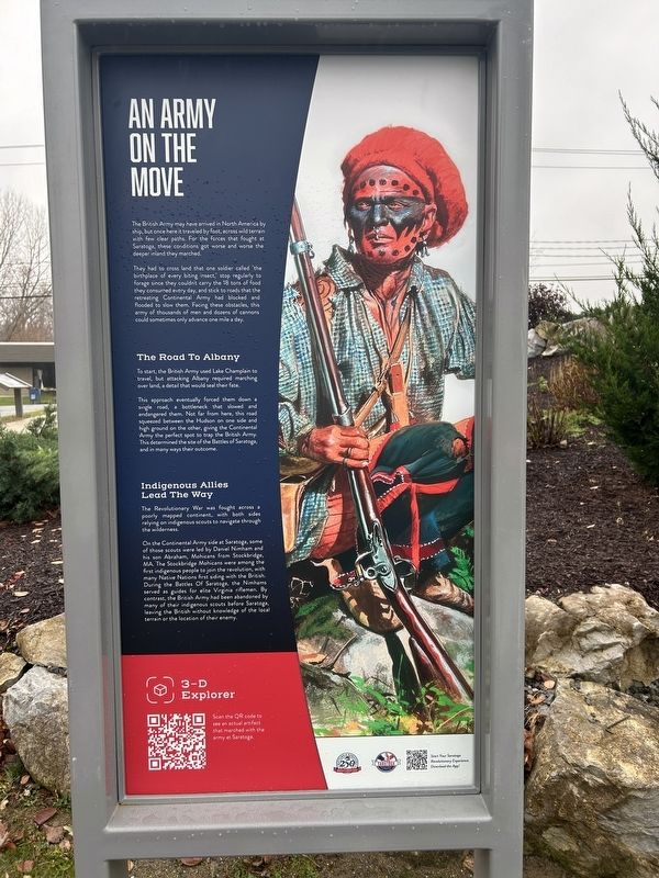
An Army On The Move
Photographed by Steve Stoessel, November 7, 2026
1. An Army On The Move Marker
They had to cross land that one soldier called "the birthplace of every biting insect," stop regularly to forage since they couldn't carry the 18 tons of food they consumed every day, and stick to roads that the retreating Continental Army had blocked and flooded to slow them. Facing these obstacles, this army of thousands of men and dozens of cannons could sometimes only advance one mile a day.
The Road To Albany
To start, the British Army used Lake Champlain to travel, but attacking Albany required marching over land, a detail that would seal their fate.
This approach eventually forced them down a single road, a bottleneck that slowed and endangered them. Not far from here, this road squeezed between the Hudson on one side and high ground on the other, giving the Continental Army the perfect spot to trap the British Army. This determined the site of the Battles of Saratoga,
this page online
Indigenous Allies Lead The Way
The Revolutionary War was fought across a poorly mapped continent, with both sides relying on indigenous scouts to navigate through the wilderness.
On the Continental Army side at Saratoga, some of those scouts were led by Daniel Nimham and his son Abraham, Mohicans from Stockbridge, MA. The Stockbridge Mohicans were among the first indigenous people to join the revolution, with many Native Nations first siding with the British. During the Battles Of Saratoga, the Nimhams served as guides for elite Virginia riflemen. By contrast, the British Army had been abandoned by many of their indigenous scouts before Saratoga, leaving the British without knowledge of the local terrain or the location of their enemy.
Erected by Saratoga revolutionary Experience.
Topics. This historical marker is listed in these topic lists: Indigenous Peoples and Communities • War, US Revolutionary.
Location. 43° 5.994′ N, 73° 34.769′ W. Marker is in Schuylerville, New York, in Saratoga County. It can be reached from Reds Road north
Photographed by Steve Stoessel, November 7, 2026
2. An Army On The Move Marker

Regionally, this marker is in Upstate New York, in the Capital District, and in the Albany Metropolitan Area. It is also in the American Northeast and in the Mid-Atlantic. Globally, it is in North America, the Great North Woods, the Western Hemisphere, the Western World, and the Anglosphere. Historically, it finds itself in what was once New Netherland and also one of the original Thirteen Colonies.
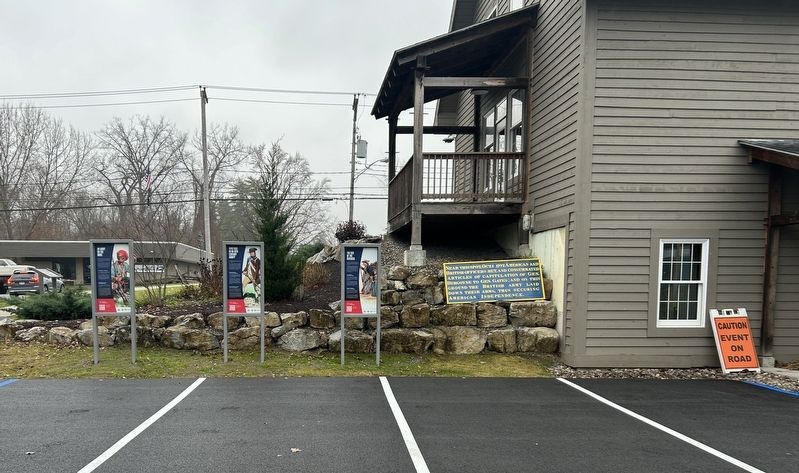
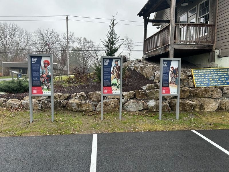
Other nearby markers. At least 8 other markers are within walking distance of this marker: Who Was In An 18th Century Army (here, next to this marker); The Fate Of The Defeated (here, next to this marker); Near This Spot (here, next to this marker); America’s Turning Point (a few steps from this marker); a different marker also named America’s Turning Point (a few steps from this marker); General Lafayette (within shouting distance of this marker);
Photographed by Steve Stoessel, November 7, 2026
3. An Army On The Move Marker
Credits. This page was last revised on November 8, 2026. It was originally submitted on November 7, 2026, by Steve Stoessel of Niskayuna, New York. This page has been viewed 6 times since then. Photos: 1. submitted on November 7, 2026, by Steve Stoessel of Niskayuna, New York. 2, 3. submitted on November 8, 2026, by Steve Stoessel of Niskayuna, New York.
