Deansgate in Manchester in Greater Manchester, England, United Kingdom — Northwestern Europe (the British Isles)
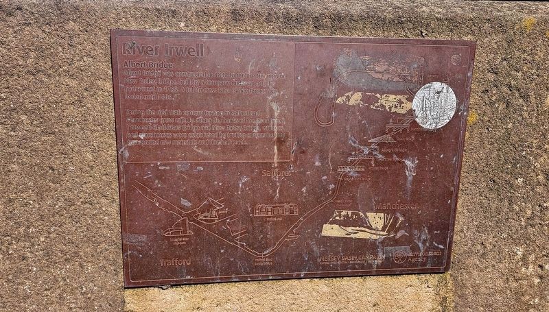
Albert Bridge
River Irwell
Photographed by Ian Lefkowitz, September 14, 2026
1. Albert Bridge Marker
During the mid 18th century trading in Salford and Manchester grew rapidly. Along the banks of the River Irwell, between Blackfriars Bridge and New Bailey Bridge, wharves and warehouses were established by trading companies that transported raw materials and finished goods.
Topics. This historical marker is listed in these topic lists: Bridges & Viaducts • Waterways & Vessels. A significant historical year for this entry is 1844.
Location. 53° 28.905′ N, 2° 15.161′ W. Marker is in Manchester, England, in Greater Manchester. It is in Deansgate. It is on Bridge Street west of Leftbank, on the left when traveling east. Touch for map. Marker is at or near this postal address: 2 Bridge Street, Manchester, England M3 2WJ, United Kingdom. Touch for directions.

Regionally, this marker is in North West England. Globally, it is on the Atlantic Ocean, in the North Atlantic Region, in Europe, in Atlantic Europe, on one of the British
this page online
Other nearby markers. At least 8 other markers are within walking distance of this marker: 'The Visible Boundary' (a few steps from this marker); Hiroshima and Nagasaki Atomic Bombings Memorial (within shouting distance of this marker); First Provincial School of Anatomy (approx. 0.3 kilometers away); Richard Cobden / Owens College (approx. 0.4 kilometers away); Norman Evans (approx. 0.4 kilometers away); Sir Harry Secombe C.B.E. (approx. 0.4 kilometers away); Roy Castle OBE (approx. 0.4 kilometers away); Sir Edward Frankland PhD FRS / Sir Henry Enfield Roscoe BA PhD FRS (approx. 0.4 kilometers away). Touch for a list and map of all markers in Manchester.
Also see . . . Albert Bridge, Manchester (Wikipedia).
Albert Bridge is a Grade II listed skew arch bridge in Greater Manchester, England. A replacement for an earlier structure, New Bailey Bridge, it was completed in 1844. It crosses the River Irwell, connecting Salford to Manchester.(Submitted on November 8, 2026, by Ian Lefkowitz of New York, New York.)
Photographed by Ian Lefkowitz, September 14, 2026
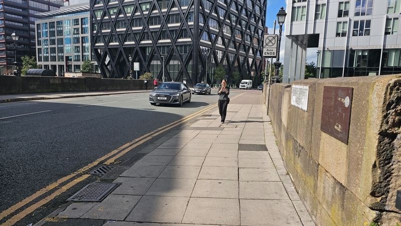
2. Albert Bridge Marker
Looking towards Salford on the Albert Bridge.
Public Domain
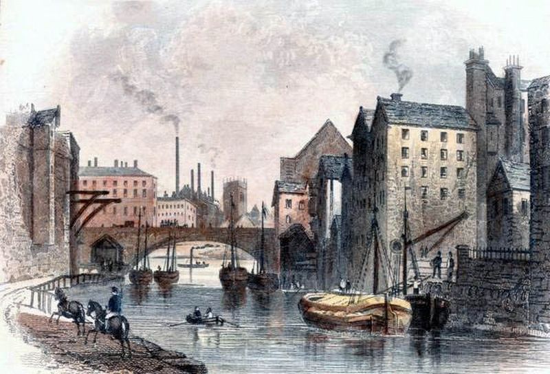
3. Albert Bridge, 1854
Credits. This page was last revised on November 9, 2026. It was originally submitted on November 8, 2026, by Ian Lefkowitz of New York, New York. This page has been viewed 4 times since then. Photos: 1, 2, 3. submitted on November 8, 2026, by Ian Lefkowitz of New York, New York. • Andrew Ruppenstein was the editor who published this page.
