Moline in Rock Island County, Illinois — The American Midwest (Great Lakes)
Moline, City of Mills - Founded 1848
Photographed by Matthew Stevens, October 24, 2026
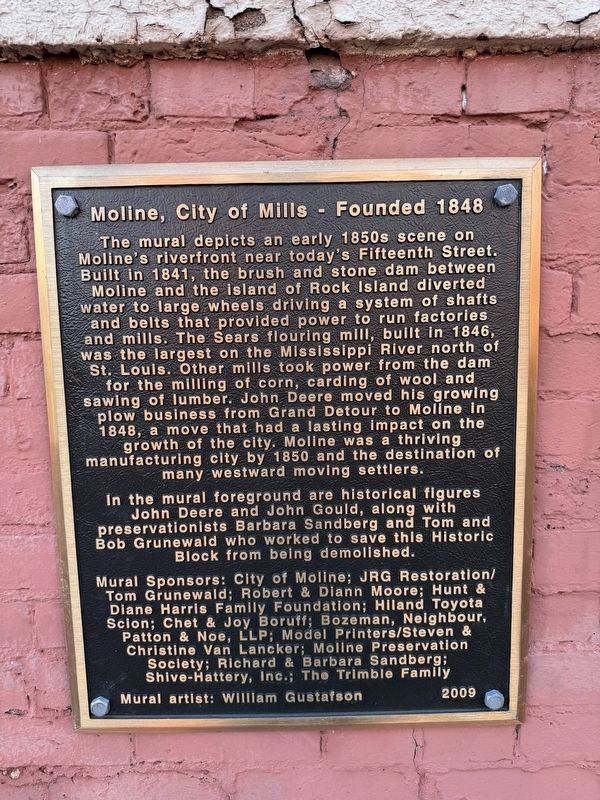
1. Moline, City of Mills Mural Plaque
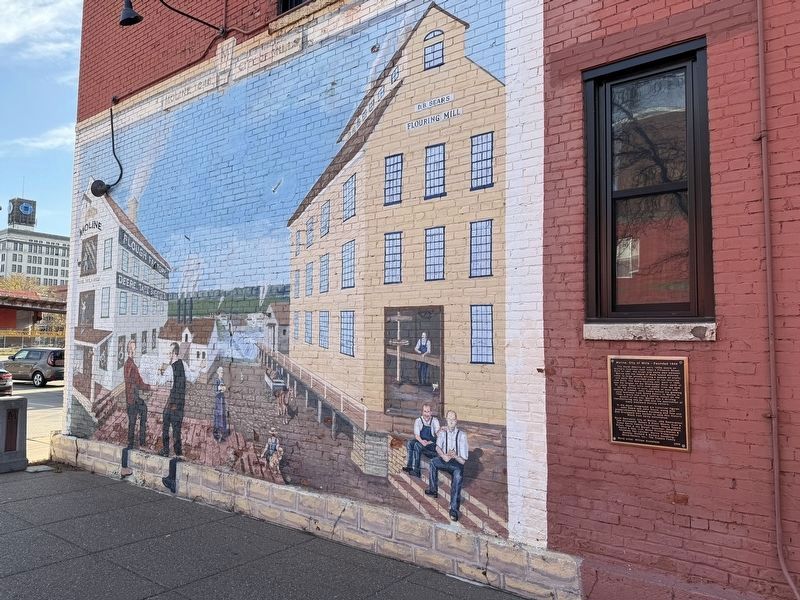
The mural depicts an early 1850s scene on Moline's riverfront near today's Fifteenth Street. Built in 1841, the brush and stone dam between Moline and the island of Rock Island diverted water to large wheels driving a system of shafts and belts that provided power to run factories and mills. The Sears flouring mill, built in 1846, was the largest on the Mississippi River north of St. Louis. Other mills took power from the dam for the milling of corn, carding of wool and sawing of lumber. John Deere moved his growing plow business from Grand Detour to Moline in 1848, a move that had a lasting impact on the growth of the city. Moline was a thriving manufacturing city by 1850 and the destination of many westward moving settlers.
In the mural foreground are historical figures John Deere and John Gould, along with preservationists Barbara Sandberg and Tom and Bob Grunewald who worked to save this Historic Block from being demolished.
Mural artist: William Gustafson
Erected 2009 by City of Moline; JRG Restoration/Tom Grunewald; Robert & Diann Moore; Hunt & Diane Harris Family Foundation; Hiland Toyota Scion; Chet
this page online
Topics. This historical marker is listed in these topic lists: Arts, Letters, Music • Environment • Industry & Commerce. A significant historical year for this entry is 1841.
Location. 41° 30.477′ N, 90° 31.008′ W. Marker is in Moline, Illinois, in Rock Island County. It is on 3rd Avenue A east of 15th Street, on the left when traveling east. Touch for map. Marker is at or near this postal address: 1509 3rd Avenue A, Moline IL 61265, United States of America. Touch for directions.

Regionally, this marker is in Northern Illinois and in the Quad Cities. It is also in the American Midwest, in the Corn Belt, and in the Great River Road Region. Globally, it is in North America, the Western Hemisphere, the Western World, and the Anglosphere. Historically, it finds itself in what was once the territory of the Mississippian Culture and also the Northwest Territory.
Other nearby markers. At least 8 other markers are within
Photographed by Matthew Stevens, October 24, 2026
2. Moline, City of Mills - Founded 1848 Mural
Credits. This page was last revised on November 9, 2026. It was originally submitted on November 9, 2026, by Matthew Stevens of Washington, Illinois. This page has been viewed 12 times since then. Photos: 1, 2. submitted on November 9, 2026, by Matthew Stevens of Washington, Illinois. • Devry Becker Jones was the editor who published this page.
