South Medford in Middlesex County, Massachusetts — The American Northeast (New England)
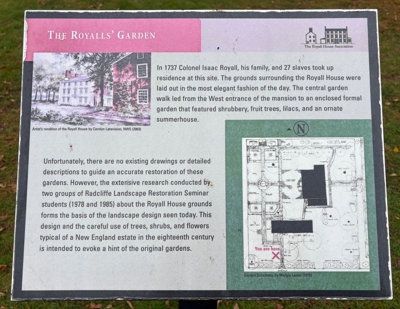
The Royalls' Garden
Photographed by Sean P. Flynn, November 6, 2026
1. The Royalls' Garden Marker
Unfortunately, there are no existing drawings or detailed descriptions to guide an accurate restoration of these gardens. However, the extensive research conducted by: two groups of Radcliffe Landscape Restoration Seminar students (1978 and 1985) about the Royall House grounds forms the basis of the landscape design seen today. This design and the careful use of trees, shrubs, and flowers typical of a New England estate in the eighteenth century is intended to evoke a hint of the original gardens.
Erected by The Royall House Association The Royall House Association.
Topics. This historical marker is listed in these topic lists: Environment • Horticulture & Forestry. A significant historical year for this entry is 1737.
Location. 42° 24.723′ N, 71° 6.712′ W. Marker
this page online

Regionally, this marker is in Historic Boston and specifically in Greater Boston. It is also in the American Northeast, in New England, and on the Eastern Seaboard. Globally, it is in the North Atlantic Region, North America, the Western Hemisphere, the Western World, and the Anglosphere. Historically, it finds itself in what was once one of the original Thirteen Colonies.
Other nearby markers. At least 8 other markers are within walking distance of this marker: The Isaac Royall House (within shouting distance of this marker); Mystic Congregational Church Bell (about 300 feet away, measured in a direct line); Royall House (about 300 feet away); Sergeant Thomas J. O'Brien Corner (about 500 feet away); The Bolognese Brothers (about 700 feet away); Barry Park
Photographed by Sean P. Flynn, November 6, 2026
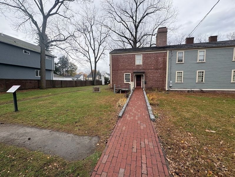
2. The Royalls' Garden Marker
The marker is on the far left; another marker about the home is visible closer to the house, affixed to the stone slab.
Also see . . . Royall House & Slave Quarters official website. (Submitted on November 10, 2026, by Sean P. Flynn of Oak Park, Illinois.)
Photographed by Sean P. Flynn, November 6, 2026
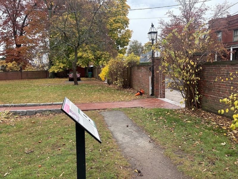
3. The Royalls' Garden Marker and the property's front gate
Credits. This page was last revised on November 10, 2026. It was originally submitted on November 10, 2026, by Sean P. Flynn of Oak Park, Illinois. This page has been viewed 4 times since then. Photos: 1, 2, 3. submitted on November 10, 2026, by Sean P. Flynn of Oak Park, Illinois.
