Troy Township in Hockingport in Athens County, Ohio — The American Midwest (Great Lakes)
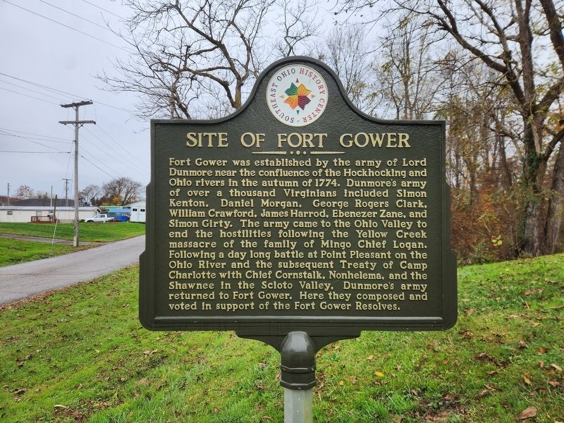
Site of Fort Gower
Photographed by Darryl R Smith, November 6, 2026
1. Site of Fort Gower Marker
Fort Gower was established by the army of Lord Dunmore near the confluence of the Hockhocking and Ohio rivers in the autumn of 1774. Dunmore's army of over a thousand Virginians included Simon Kenton, Daniel Morgan. George Rogers Clark, William Crawford. James Harrod, Ebenezer Zane, and Simon Girty. The army came to the Ohio Valley to end the hostilities following the Yellow Creek massacre of the family of Mingo Chief Logan. Following a day long battle at Point Pleasant on the Ohio River and the subsequent Treaty of Camp Charlotte with Chief Cornstalk, Nonhelema, and the Shawnee in the Scloto Valley. Dunmore's army returned to Fort Gower. Here they composed and voted in support of the Fort Gower Resolves.
Erected by Southeast Ohio History Center.
Topics. This historical marker is listed in these topic lists: War, US Revolutionary • Wars, US Indian. A significant historical year for this entry is 1774.
Location. 39° 11.384′ N, 81° 45.128′ W. Marker is in Hockingport, Ohio, in Athens County. It is in Troy Township. It is on Grand Street near Pavillion Street, on the left when traveling north. Touch for map. Marker
this page online

Regionally, this marker is in the Hocking Hills. It is also in the American Midwest, in the Ohio River Valley, in Appalachia, and specifically in Northern Appalachia. Globally, it is in North America, the Western Hemisphere, the Western World, and the Anglosphere. Historically, it finds itself in what was once the Haudenosaunee (Iroquois) Confederacy, the territory of the Mississippian Culture, and the Northwest Territory.
Other nearby markers. At least 8 other markers are within 5 miles of this marker, measured as the crow flies: Fort Gower Resolves (here, next to this marker); George Washington (within shouting distance of this marker); Indian Attack (about 600 feet away, measured in a direct line); a different marker also named Fort Gower Resolves (about 600 feet away); The Coolville Bridge (approx. 3.2 miles away); Ohio Buckeye Tree (approx. 3.2 miles away); Tupper Plains (approx. 3.6 miles away); Reedsville (approx. 4.2 miles away). Touch for a list and map of all markers in Hockingport.
Additional keywords. Lord
Photographed by Darryl R Smith, November 6, 2026
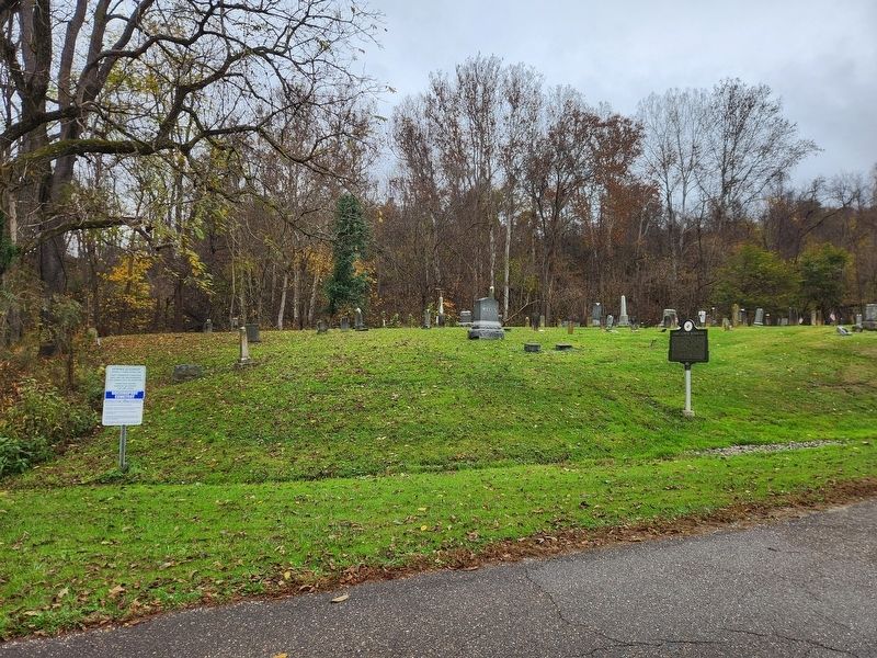
2. Site of Fort Gower Marker
Credits. This page was last revised on November 10, 2026. It was originally submitted on November 10, 2026, by Darryl R Smith of Cincinnati, Ohio. This page has been viewed 7 times since then. Photos: 1, 2. submitted on November 10, 2026, by Darryl R Smith of Cincinnati, Ohio. • Devry Becker Jones was the editor who published this page.
