Troy Township in Hockingport in Athens County, Ohio — The American Midwest (Great Lakes)
Indian Attack
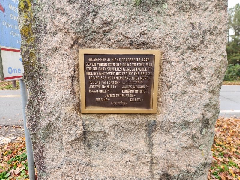
Photographed by Darryl R Smith, November 6, 2026
1. Indian Attack Marker
Near here at night October 12, 1776 seven young patriots going to Fort Pitt for military supplies were attacked by Indians who were incited by the British to war against Americans. They were:
Robert Patterson ■ • David Perry ■ • Joseph McNutt ● • James Wernock ● • Isaac Greer ▼ • Edard Mitchell ■ • James Templeton ■
Missing ▼ • Killed ● • Wounded ■
Topics and series. This memorial is listed in these topic lists: War, US Revolutionary • Wars, US Indian. In addition, it is included in the Daughters of the American Revolution (DAR) series list. A significant historical date for this entry is October 12, 1776.
Location. 39° 11.29′ N, 81° 45.131′ W. Memorial is in Hockingport, Ohio, in Athens County. It is in Troy Township. It is at the intersection of Ohio River Scenic Byway (Ohio Route 124) and Grand Street, in the median on Ohio River Scenic Byway. Touch for map. Memorial is at or near this postal address: 475 Ohio River Scenic Byway, Coolville OH 45723, United States of America. Touch for directions.

Regionally, this memorial is in the Hocking Hills.
this page online
Other nearby markers. At least 8 other markers are within 4 miles of this marker, measured as the crow flies: Fort Gower Resolves (here, next to this marker); George Washington (about 500 feet away, measured in a direct line); a different marker also named Fort Gower Resolves (about 600 feet away); Site of Fort Gower (about 600 feet away); The Coolville Bridge (approx. 3.3 miles away); Ohio Buckeye Tree (approx. 3.3 miles away); Tupper Plains (approx. 3½ miles away); Reedsville (approx. 4.1 miles away). Touch for a list and map of all markers in Hockingport.
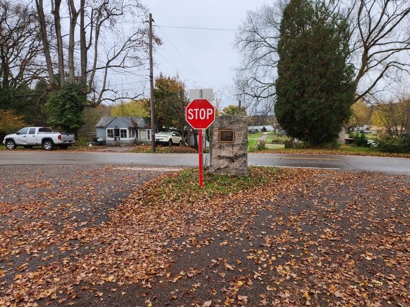
Photographed by Darryl R Smith, November 6, 2026
2. Indian Attack Marker
Credits. This page was last revised on November 10, 2026. It was originally submitted on November 10, 2026, by Darryl R Smith of Cincinnati, Ohio. This page has been viewed 6 times since then. Photos: 1, 2. submitted on November 10, 2026, by Darryl R Smith of Cincinnati, Ohio. • Devry Becker Jones was the editor who published this page.
