Brownsboro in Henderson County, Texas — The American South (West South Central)
Site of Old Normandy
(One-Half Mile Southeast)
Photographed by Amanda Hartley, June 5, 2010
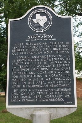
1. Site of Old Normandy Marker
First Norwegian colony in Texas. Founded in 1845 by Johan Reinert Reierson (1810-1864) and Ole Reierson, of Holt, Norway.
In "Christianssandsposten", J.R. Reierson urged Norwegians to find "a rich life" by migrating to Texas. His associate editor, Elise Tvede (1815-1895), also came to Texas and continued writing for publications in Norway. She married Wilhelm Warenskjold, lived in this area, and opened home to Norwegian newcomers.
By 1853 a Norwegian-Lutheran church and cemetery had been established here. Normandy was later renamed Brownsboro.
Erected 1970 by State Historical Survey Committee. (Marker Number 10368.)
Topics and series. This historical marker is listed in these topic lists: Cemeteries & Burial Sites • Settlements & Settlers. In addition, it is included in the Norwegian-Americans series list. A significant historical year for this entry is 1845.
Location. 32° 18.148′ N, 95° 36.799′ W. Marker is in Brownsboro, Texas, in Henderson County. It is at the intersection of State Highway 31 and Stuart Street, on the left when traveling west on State Highway 31. Touch for map. Marker is in this post office area: Brownsboro TX 75756, United States of America. Touch for directions.

Regionally, this marker is in the American South and in the Piney Woods. Globally, it is in North America, a Gulf of Mexico state, the Western Hemisphere, the Western World, and the Anglosphere. Historically, it finds itself in what was once New Spain, the Republic of Texas, one of the Confederate States of America, and the Antebellum South.
Other nearby markers. At least 8 other markers are within 5 miles of this marker, measured as the crow flies: Brownsboro Norwegian Lutheran Cemetery (here, next to this marker); Echols Cemetery on Jennings Mountain (approx. 1.8 miles away); New Hope United Methodist Church
this page online
More about this marker. This marker is located right next to an additional marker.
Photographed by Mike Stroud, September 17, 2012
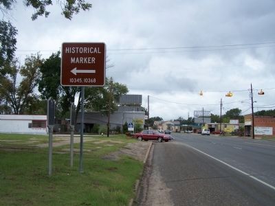
2. Site of Old Normandy Marker, left
Credits. This page was last revised on November 25, 2020. It was originally submitted on June 7, 2010, by Amanda Hartley of Tyler, Texas. This page has been viewed 1,861 times since then and 68 times this year. Photos: 1. submitted on June 7, 2010, by Amanda Hartley of Tyler, Texas. 2. submitted on November 1, 2012, by Mike Stroud of Bluffton, South Carolina. • Bill Pfingsten was the editor who published this page.
