Schuylerville in Saratoga County, New York — The American Northeast (Mid-Atlantic)
Empire State Trail
At Schuylerville
Photographed by Steve Stoessel, November 7, 2026
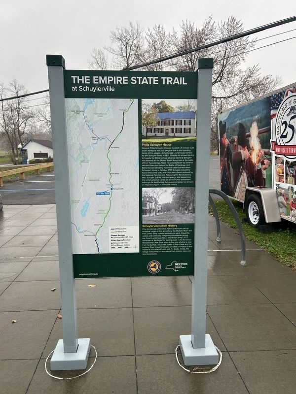
1. Empire State Trail Marker, Side One
[Side 1: ]
Philip Schuyler House
General Philip Schuyler's house, located a 5-minute walk south along the trail, is a tangible link to the founding family of this village-Schuylerville-which was named for the Schuyler family in 1831. Despite his shrewd tactics to impede the British army's advance, General Schuyler was blamed for the United States Army loss at the battle of Fort Ticonderoga (1777). He was replaced by General Horatio Gates just before the Battle of Saratoga, and British forces retreating from that battle burned down Schuyler's home in October 1777. Schuyler rebuilt the house that same year, and it has since been restored by the National Park Service. Following the Revolutionary War, Schuyler put his time and energy into supporting the construction of canals as an economic investment. Although he died before they were complete, he remains an important figure in NY canal history.
Schuylerville's Rich History
Prior to colonial settlement, Native Americans set up seasonal camps in this area along the Hudson River and Fish Creek. Early colonial settlements were frequently raided and sacked by indigenous
this page online
[ Side 2: ]
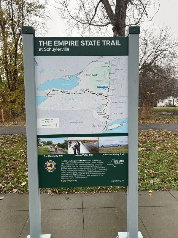
The 750-mile Empire State Trail connects people to New York's spectacular natural beauty, cultural heritage, iconic landscapes, and unparalleled outdoor recreation opportunities. The Trail promotes healthy lifestyles and provides a place for friends and families to experience the Empire State's special places and rich diversity - connecting urban centers, village main streets, and rural communities from New York City through the Hudson River Valley, west to Buffalo along the historic Erie Canal, and north to the Champlain Valley and Adirondacks.
Enjoy the journey.
Erected by Empire State Trail.
Topics. This historical marker is listed in these topic lists: Settlements & Settlers • War, US Revolutionary
Photographed by Steve Stoessel, November 7, 2026
2. Empire State Trail Marker, Side Two
Location. 43° 6.006′ N, 73° 34.788′ W. Marker is in Schuylerville, New York, in Saratoga County. It is on Empire State Trail north of Ferry Street (Route 29), on the left when traveling north. Touch for map. Marker is at or near this postal address: 28 Ferry Street, Schuylerville NY 12871, United States of America. Touch for directions.

Regionally, this marker is in Upstate New York, in the Capital District, and in the Albany Metropolitan Area. It is also in the American Northeast and in the Mid-Atlantic. Globally, it is in North America, the Great North Woods, the Western Hemisphere, the Western World, and the Anglosphere. Historically, it finds itself in what was once New Netherland and also one of the original Thirteen Colonies.
Other nearby markers. At least 8 other markers are within walking distance of this marker: Lakes To Locks Passage (here, next to this marker); Near This Spot (within shouting distance of this marker); The Fate Of The Defeated (within shouting distance of this marker); Who Was In An 18th Century Army (within shouting
Photographed by Steve Stoessel, November 7, 2026
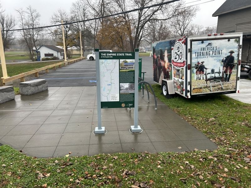
3. Empire State Trail Marker
Photographed by Steve Stoessel, November 7, 2026
4. Empire State Trail Marker
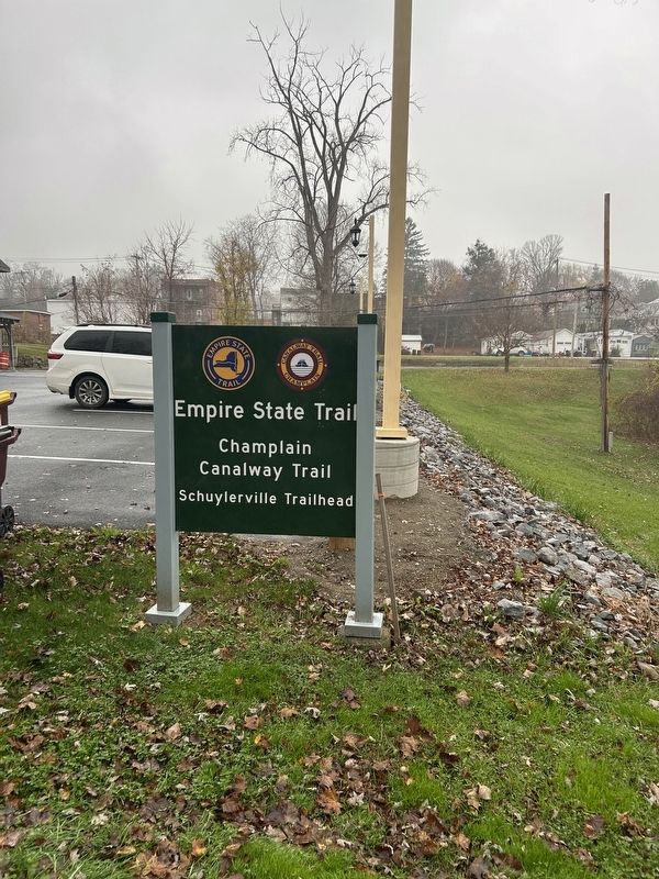
Photographed by Steve Stoessel, November 7, 2026
5. Empire State Trail Marker
Photographed by Steve Stoessel, November 7, 2026
6. Empire State Trail Marker
Credits. This page was last revised on November 10, 2026. It was originally submitted on November 10, 2026, by Steve Stoessel of Niskayuna, New York. This page has been viewed 2 times since then. Photos: 1, 2, 3, 4, 5, 6. submitted on November 10, 2026, by Steve Stoessel of Niskayuna, New York.
