Colonial Heights, Virginia — The American South (Mid-Atlantic)
Port Walthall Junction
Bermuda Hundred Actions
| — | Bermuda Hundred | — |
Jamieva (used with permission), 2020
1. Port Walthall Junction Marker
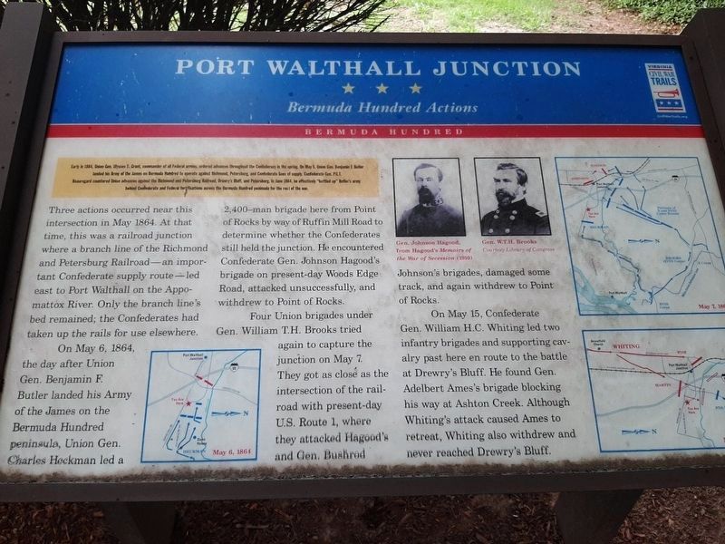
Three actions occurred near this intersection in May 1864. At that time, this was a railroad junction where a branch line of the Richmond and Petersburg Railroad—an important Confederate supply route—led east to Port Walthall on the Appomattox River. Only the branch line's bed remained; the Confederates had taken up the rails for use elsewhere.
On May 6, 1864, the day after Union Gen. Benjamin F. Butler landed his Army of the James on the Bermuda Hundred peninsula, Union Gen. Charles Hackman led a 2,400-man brigade here from Point
this page online
Four Union brigades under Gen. William T.H. Brooks tried again to capture the junction on May 7. They got as close as the intersection of the rail-road with present-day U.S. Route 1, where they attacked Hagood'sand Gen. Bushrod Johnson's brigades, damaged some track, and again withdrew to Point of Rocks.
On May 15, Confederate Gen. William H.C. Whiting led two infantry brigades and supporting cavalry past here en route to the battle at Drewry's Bluff. He found Gen. Adelbert Ames's brigade blocking his way at Ashton Creek. Although Whiting's attack caused Ames to retreat, Whiting also withdrew and near reaching Drewry's Bluff.
(captions)
Gen. Johnson Hagood, from Hagood's Memories of the war of Succession (1910)
Gen. W.T.H. Brooks Courtesy Library of Congress
Erected by Virginia Civil War Trails.
Topics and series. This historical marker is listed in these topic lists: Railroads & Streetcars
Photographed by Blue & Gray Magazine (fair use), 2014
2. Port Walthall Junction Marker
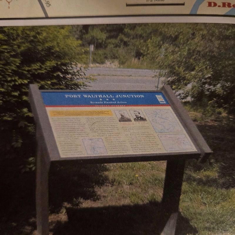
Picture of marker at location from Blue & Gray Magazine Vol. 31, #1 "The Bermuda Hundred Campaign, Ben Butler's Campaign"
Location. Marker has been reported permanently removed. It was located near 37° 18.658′ N, 77° 23.533′ W. Marker was in Colonial Heights, Virginia. It could be reached from the intersection of Ruffin Mill Road and Walthall Center Drive, on the right when traveling north. Located in the Pilot Travel Center parking lot. Touch for map. Marker was at or near this postal address: 2126 Ruffin Mill Rd, Colonial Heights VA 23834, United States of America.
We have been informed that this marker is no longer there and will not be replaced. This page is an archival view of what was.
Regionally, this marker was in Central Virginia. It was also in the American South and specifically in the Upper South. Globally, it was in North America, the Western Hemisphere, the Western World, and the Anglosphere. Historically, it found itself in what was once the territory of the Mississippian Culture, one of the original Thirteen Colonies, one of the Confederate States of America, and the Antebellum South.

Mathew Brady - Library of Congress (Public Domain)
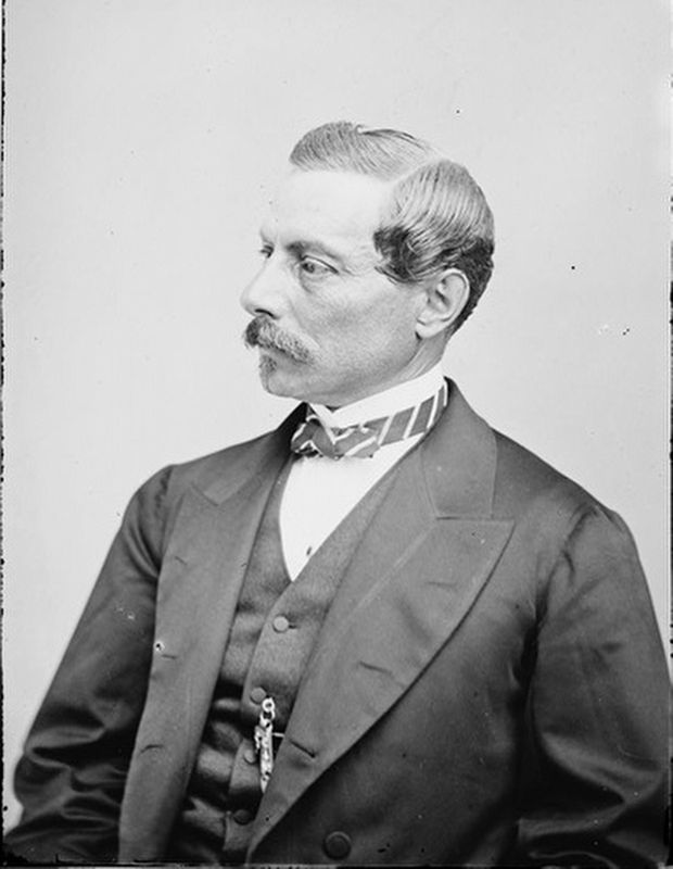
3. Confederate Gen. Pierre G. T. Beauregard
Other nearby markers. At least 8 other markers are within 2 miles of this location, measured as the crow flies: The "Bottle" (approx. 1.1 miles away); Advance on Petersburg (approx. 1.3 miles away); Union Army Railroad Raids (approx. 1.4 miles away); Redwater Creek Engagement (approx. 1.4 miles away); Howlett Line Park (approx. 1.6 miles away); Confederate Reconnaissance Mission (approx. 1.9 miles away); Marsh Boardwalk (approx. 2 miles away); Swift Creek Battlefield: A Landscape of Change (approx. 2.1 miles away). Touch for a list and map of all markers in Colonial Heights.
Also see . . . Battle of Port Walthall Junction (Wikipedia). (Submitted on November 10, 2026, by Mike McKeown of Baltimore, Maryland.)
Mathew Brady - Library of Congress (Public Domain)
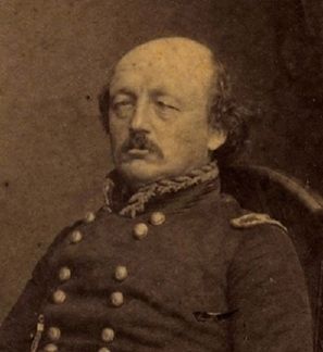
4. Union Gen. Benjamin F. Butler
Library of Congress
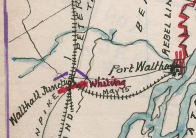
5. Map of operations at Bermuda Hundred and Drewry's Bluff, Virginia, 10th May 1864.
Confederate Map from 1864 showing Port Walthall Junction and Port Walthall. (section)
Credits. This page was last revised on November 11, 2026. It was originally submitted on November 10, 2026, by Mike McKeown of Baltimore, Maryland. This page has been viewed 5 times since then. Photos: 1, 2, 3, 4, 5. submitted on November 10, 2026, by Mike McKeown of Baltimore, Maryland. • Bernard Fisher was the editor who published this page.
