North End in Boston in Suffolk County, Massachusetts — The American Northeast (New England)
Fitzgerald Expressway Plaque
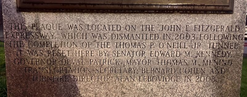
Photographed by Sean P. Flynn, November 6, 2026
1. Fitzgerald Expressway Plaque Marker
Erected 2008 by Commmonwealth of Massachusetts.
Topics. This historical marker is listed in these topic lists: Government & Politics • Roads & Vehicles. A significant historical year for this entry is 2008.
Location. 42° 21.734′ N, 71° 3.297′ W. Marker is in Boston, Massachusetts, in Suffolk County. It is in North End. It is on Cross Street near North Street, on the right. Touch for map. Marker is in this post office area: Boston MA 02109, United States of America. Touch for directions.

Regionally, this marker is in Historic Boston. It is also in the American Northeast, in New England, and on the Eastern Seaboard. Globally, it is in the North Atlantic Region, North America, the Western Hemisphere, the Western World, and the Anglosphere. Historically, it finds itself in what
this page online
Other nearby markers. At least 8 other markers are within walking distance of this marker: John Francis Fitzgerald (here, next to this marker); Callahan Tunnel (a few steps from this marker); Tony DeMarco (within shouting distance of this marker); Boston Timeline (about 300 feet away, measured in a direct line); a different marker also named Boston Timeline (about 400 feet away); Rose Fitzgerald Kennedy Greenway (about 400 feet away); Zipporah Potter Atkins (about 400 feet away); Sacco and Vanzetti Defense Committee (about 500 feet away). Touch for a list and map of all markers in Boston.
Also see . . .
1. The Big Dig: Learning from a Mega Project. This 2025 report by NASA looks at the Big Dig, officially known as the Central Artery/Tunnel Project. Begun in 1991 and expected to be complete by 1998 at a cost of $2.8 billion, the project ended up taking more than 17 years and costing $14.6 billion.
Excerpt: "The Big Dig was led by Bechtel/Parsons Brinckerhoff, one of the largest and most experienced teams in infrastructure design and construction. Extensive environmental feasibility(Submitted on November 10, 2026, by Sean P. Flynn of Oak Park, Illinois.)studies, risk assessments, and other documentation were completed prior to the project’s start. Nonetheless, costs increased across all contracts throughout the project’s life cycle despite enormous efforts to transfer, mitigate, or avoid risk and contain costs. In other words, things can go dramatically wrong despite the best efforts."Photographed by Sean P. Flynn, November 6, 20262. John Francis Fitzgerald Marker
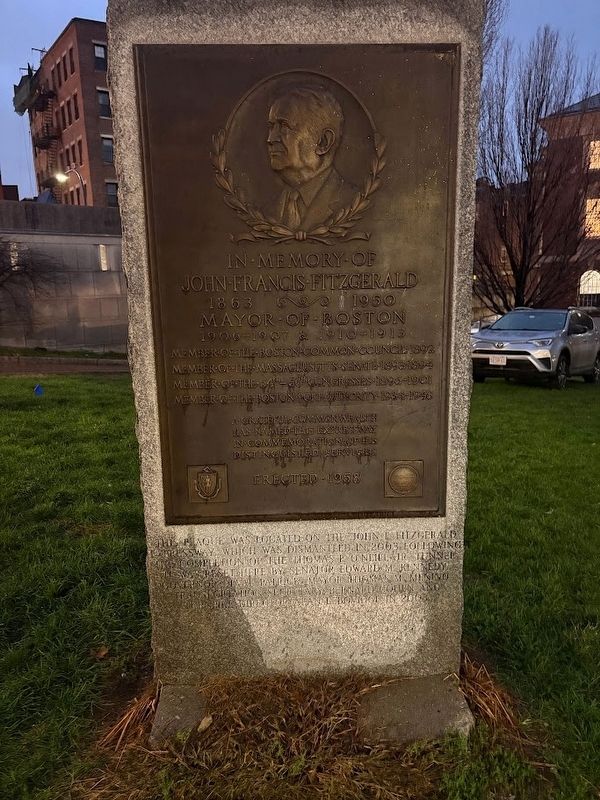
2. Rose Kennedy Greenway official site. (Submitted on November 10, 2026, by Sean P. Flynn of Oak Park, Illinois.)
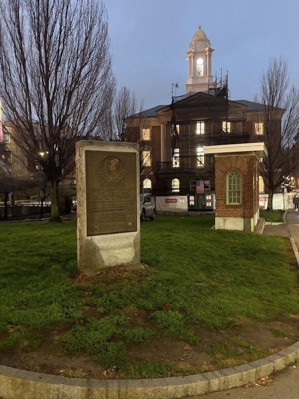
Photographed by Sean P. Flynn, November 6, 2026
3. John Francis Fitzgerald Marker
The text below the plaque is about its relocation to this spot after the above-ground Fitzgerald Expressway was dismantled and replaced by a tunnel during the road project best known as the "Big Dig."
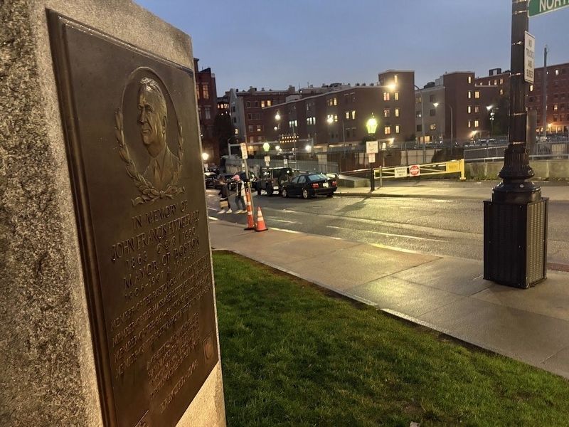
Photographed by Sean P. Flynn, November 6, 2026
4. John Francis Fitzgerald Marker near the Callahan Tunnel
The tunnel's terminus at I-93 (the O'Neill Tunnel) is below this location.
Credits. This page was last revised on November 10, 2026. It was originally submitted on November 10, 2026, by Sean P. Flynn of Oak Park, Illinois. This page has been viewed 6 times since then. Photos: 1, 2, 3, 4. submitted on November 10, 2026, by Sean P. Flynn of Oak Park, Illinois.
