Sioux City in Woodbury County, Iowa — The American Midwest (Upper Plains)
Barges & Channelization
September 26, 2026
1. Barges & Channelization Marker
Navigating the "Mighty Mo"
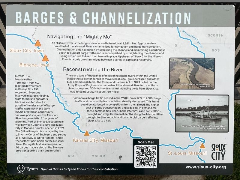
The Missouri River is the longest river in North America at 2,341 miles. Approximately one-third of the Missouri River is channelized for navigation and barge transportation. Channelization aids navigation by stabilizing the channel and maintaining a continuous depth to support barge traffic and is accomplished by straightening the channel and using structures to keep the channel in place. Upstream of Sioux City, the Missouri River is largely un-channelized between a series of dams and reservoirs.
Reconstructing the River
There are tens of thousands of miles of navigable rivers within the United States that allow for barges to move wheat, coal, grain, fertilizer, and other bulk commercial items. The Rivers and Harbors Act of 1899 called on the Army Corps of Engineers to reconstruct the Missouri River into a uniform 9-foot-deep and 300-foot-wide channel including ports from Sioux City, Iowa to Saint Louis, Missouri (760 Miles).
Commercial barge traffic peaked in the 1970s. From 1977 to 2000, barge traffic and commodity transportation steadily decreased. This trend could be attributed
this page online
In 2016, the Woodswether Terminal - Port KC, located downstream in Kansas City, MO, reopened. Everyone involved in barge shipping, from farmers to operators, became excited about a possible "renaissance" of barge traffic. A project in the early 2020s created an opportunity for Iowa ports to join this Missouri River barge rebirth. After years of planning, Port of Blencoe, located halfway between Council Bluffs and Sioux City in Monona County, opened in 2021. The $11 million port is managed by the U.S. Army Corps of Engineers and serves as a "Gateway to World Markets" and is the farthest port north on the Missouri River. During its first year in operation, 40 barges made a stop at the Blencoe port transporting grain and fertilizer.
Barge Navigating the Missouri River
Adobe Stock
Socony-Vacuum Oil Company Towboat, 1940
Sioux City Public Museum
Erected by Sioux
September 26, 2026
2. Barges & Channelization Marker
Topics. This historical marker is listed in these topic lists: Industry & Commerce • Waterways & Vessels. A significant historical year for this entry is 1899.
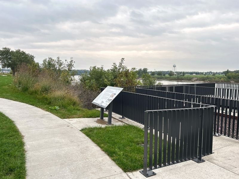
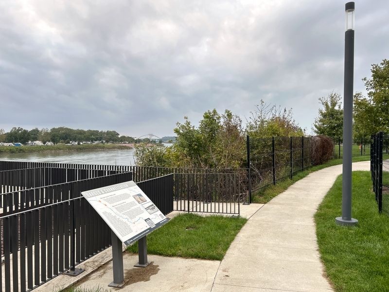
Location. 42° 29.095′ N, 96° 23.681′ W. Marker is in Sioux City, Iowa, in Woodbury County. It can be reached from Floyd Boulevard west of Interstate 29. Located in Chris Larsen Park, by the basketball courts. Touch for map. Marker is at or near this postal address: 700 S Floyd Blvd, Sioux City IA 51101, United States of America. Touch for directions.

Regionally, this marker is in Western Iowa and in Loess Hills. It is also in the American Midwest, in the Lewis & Clark Corridor, and in the Corn Belt. Globally, it is in North America, the Western Hemisphere, the Western World, and the Anglosphere. Historically, it finds itself in what was once the territory of the Mississippian Culture and also the Louisiana Purchase.
Other nearby markers. At least 8 other markers are within walking distance of this marker: South Side Memorial (about 500 feet away, measured in a direct line); Flooding in Sioux City (about 500 feet away); The Stockyards Garden
September 26, 2026
3. Barges & Channelization Marker
Credits. This page was last revised on November 10, 2026. It was originally submitted on November 10, 2026. This page has been viewed 5 times since then. Photos: 1, 2, 3. submitted on November 10, 2026.
