Sioux City in Woodbury County, Iowa — The American Midwest (Upper Plains)
Flooding in Sioux City
September 26, 2026
1. Flooding in Sioux City Marker
1892
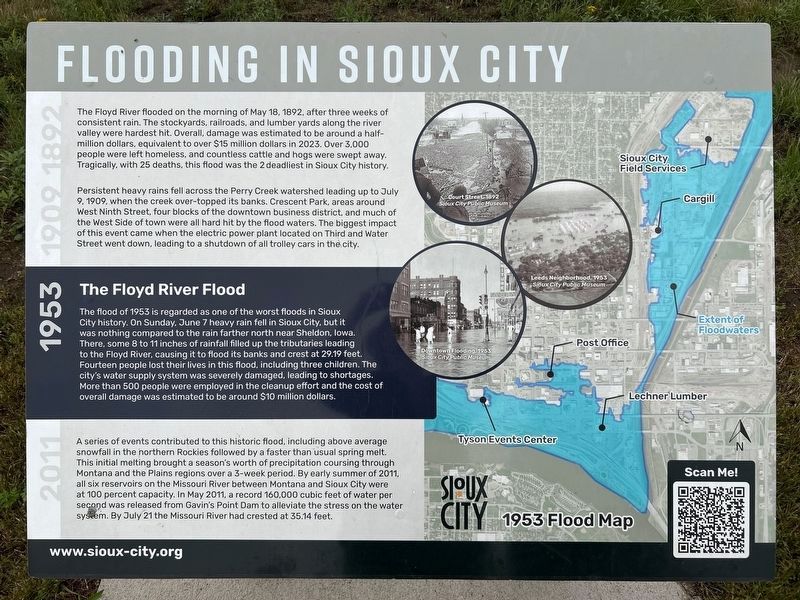
The Floyd River flooded on the morning of May 18, 1892, after three weeks of consistent rain. The stockyards, railroads, and lumber yards along the river valley were hardest hit. Overall, damage was estimated to be around a half-million dollars, equivalent to over $15 million dollars in 2023. Over 3,000 people were left homeless, and countless cattle and hogs were swept away. Tragically, with 25 deaths, this flood was the 2 deadliest in Sioux City history.
1909
Persistent heavy rains fell across the Perry Creek watershed leading up to July 9, 1909, when the creek over-topped its banks. Crescent Park, areas around West Ninth Street, four blocks of the downtown business district, and much of the West Side of town were all hard hit by the flood waters. The biggest impact of this event came when the electric power plant located on Third and Water Street went down, leading to a shutdown of all trolley cars in the city.
1953
The Floyd River Flood
The flood of 1953 is regarded as one of the worst floods in Sioux City history. On Sunday, June 7 heavy rain fell in Sioux City, but it was nothing compared to the rain
this page online
2011
A series of events contributed to this historic flood, including above average snowfall in the northern Rockies followed by a faster than usual spring melt. This initial melting brought a season's worth of precipitation coursing through Montana and the Plains regions over a 3-week period. By early summer of 2011, all six reservoirs on the Missouri River between Montana and Sioux City were at 100 percent capacity. In May 2011, a record 160,000 cubic feet of water per second was released from Gavin's Point Dam to alleviate the stress on the water system. By July 21 the Missouri River had crested at 35.14 feet.
Court Street, 1892
Sioux City Public Museum
Leeds Neighborhood, 1953
Sioux City Public Museum
Downtown Flooding, 1953
Sioux City Public Museum
1953
September 26, 2026
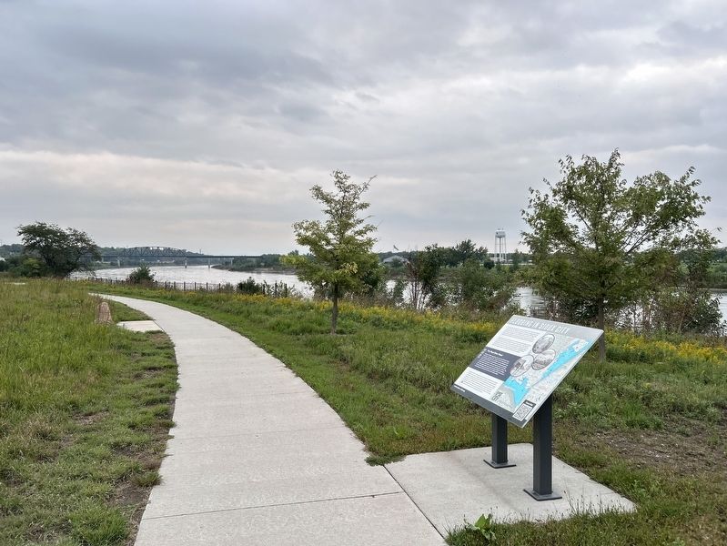
2. Flooding in Sioux City Marker
Topics. This historical marker is listed in these topic lists: Disasters • Waterways & Vessels. A significant historical date for this entry is June 7, 1953.
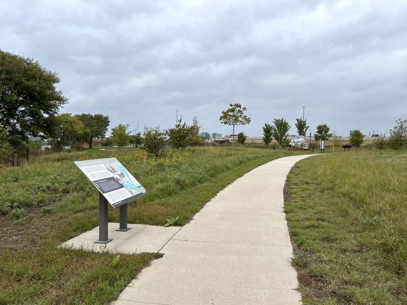
Location. 42° 29.047′ N, 96° 23.583′ W. Marker is in Sioux City, Iowa, in Woodbury County. It can be reached from Floyd Boulevard west of Interstate 29. Located in Chris Larsen Park. Touch for map. Marker is at or near this postal address: 700 S Floyd Blvd, Sioux City IA 51101, United States of America. Touch for directions.

Regionally, this marker is in Western Iowa and in Loess Hills. It is also in the American Midwest, in the Lewis & Clark Corridor, and in the Corn Belt. Globally, it is in North America, the Western Hemisphere, the Western World, and the Anglosphere. Historically, it finds itself in what was once the territory of the Mississippian Culture and also the Louisiana Purchase.
Other nearby markers. At least 8 other markers are within one mile of this marker, measured as the crow flies: Barges & Channelization (about 500 feet away, measured in a direct line); South Side Memorial (approx. 0.2 miles away); The Stockyards Garden (approx. 0.4 miles away);
September 26, 2026
3. Flooding in Sioux City Marker
Also see . . . Floyd River Flood of 1953 — Sioux City Public Museum. (Submitted on November 10, 2026.)
Credits. This page was last revised on November 10, 2026. It was originally submitted on November 10, 2026. This page has been viewed 7 times since then. Photos: 1, 2, 3. submitted on November 10, 2026.
