Hartford Township in Licking County, Ohio — The American Midwest (Great Lakes)
The Curry Farm Historic District
⎯⎯⎯
The George & Agned Currry Farm
Photographed by Craig Doda, November 7, 2026
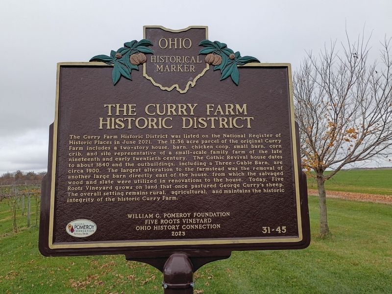
1. The Curry Farm Historic District Marker
The Curry Farm Historic District. The Curry Farm Historic District was listed on the National Register of Historic Places in June 2021. The 12.56 acre parcel of the original Curry Farm includes a two-story house, barn, chicken coop, small barn, corn crib, and silo representative of a small-scale family farm of the late nineteenth and early twentieth century. The Gothic Revival house dates to about 1840 and the outbuildings, including a Three-Gable Barn, are circa 1900. The largest alteration to the farmstead was the removal of another large barn directly east of the house, from which the salvaged wood and slate were utilized in renovations to the house. Today, Five Roots Vineyard grows on land that once pastured George Curry's sheep. The overall setting remains rural, agricultural, and maintains the historic integrity of the historic Curry Farm.
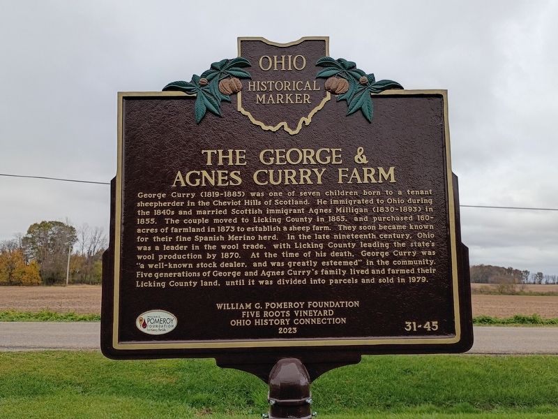
The George & Agned Currry Farm. George Curry (1819-1885) was one of seven children born to a tenant sheepherder in the Cheviot Hills of Scotland. He immigrated to Ohio during the 1840s and married Scottish immigrant Agnes Milligan (1830-1893) in 1855. The couple moved to Licking
this page online
Erected 2023 by William G. Pomeroy Foundation; Five Roots Vineyard; Ohio History Connection. (Marker Number 31-45.)
Topics and series. This historical marker is listed in these topic lists: Agriculture • Architecture. In addition, it is included in the Ohio Historical Society / The Ohio History Connection series list. A significant historical month for this entry is June 2021.
Location. 40° 14.731′ N, 82° 43.83′ W. Marker is near Hartford, Ohio, in Licking County. It is in Hartford Township. It is at the intersection of Foundation Road and Downing Road, on the right when traveling west on Foundation
Photographed by Craig Doda, November 7, 2026
2. The Curry Farm Historic District / The George & Agned Currry Farm Marker

Regionally, this marker is in the Columbus Metropolitan Area. It is also in the American Midwest, in the Corn Belt, in Appalachia, and specifically in Northern Appalachia. Globally, it is in North America, the Western Hemisphere, the Western World, and the Anglosphere. Historically, it finds itself in what was once the Haudenosaunee (Iroquois) Confederacy, the territory of the Mississippian Culture, and the Northwest Territory.
Other nearby markers. At least 8 other markers are within 5 miles of this marker, measured as the crow flies: Hartford Village Civil War Column (approx. 2.4 miles away); Hartford Township Veterans Memorial (approx. 2½ miles away); Centerburg (approx. 3.8 miles away); To commemorate Knox County's first election on April 4, 1808 (approx. 4½ miles away); General Daniel Harris Reynolds, C.S.A. (approx. 4½ miles away); This 1300 lb. Bell (approx. 4½ miles away); Circa 1890 (approx. 4½ miles away); Circa 1910 (approx. 4½ miles away).
Photographed by Craig Doda, November 7, 2026
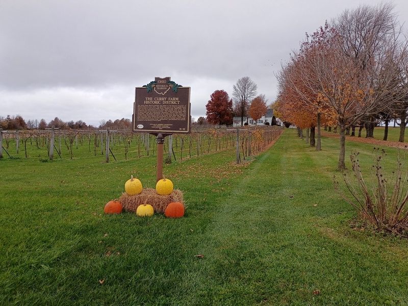
3. The Curry Farm Historic District / The George & Agned Currry Farm Marker
Credits. This page was last revised on November 12, 2026. It was originally submitted on November 11, 2026, by Craig Doda of Napoleon, Ohio. This page has been viewed 10 times since then. Photos: 1, 2, 3. submitted on November 11, 2026, by Craig Doda of Napoleon, Ohio. • Devry Becker Jones was the editor who published this page.
