Downtown in Boston in Suffolk County, Massachusetts — The American Northeast (New England)
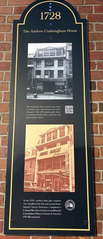
1728
The Andrew Cunningham House
Photographed by Sean P. Flynn, November 6, 2026
1. 1728 Marker
In the 1950s modern plate glass windows were installed at the first and second floors. Samuel Narcus Stationary completed a Colonial Revival restoration resembling the Cunningham House in honor of America's 1976 Bicentennial.
Erected 2026.
Topics and series. This historical marker is listed in these topic lists: Architecture • Colonial Era. In addition, it is included in the The Spirit of ’76, America’s Bicentennial Celebration series list. A significant historical year for this entry is 1728.
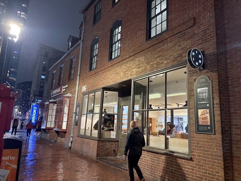
Location. 42° 21.457′ N, 71° 3.496′ W. Marker is in Boston, Massachusetts, in Suffolk County. It is in Downtown. It is on Washington Street north of School Street, on the left when traveling north. The marker is near the entrance to a restaurant called Dig Inn. Touch for map. Marker is at or near this postal address: 277 Washington Street, Boston MA 02111, United States of America. Touch for directions.

Regionally, this marker is in Historic Boston. It is also in the American Northeast, in New England, and on the Eastern Seaboard. Globally, it is in the North Atlantic Region, North America, the Western Hemisphere, the Western World, and the Anglosphere. Historically, it finds itself in what was once one of the original Thirteen Colonies.
Other nearby markers. At least 8 other markers are within walking distance of this marker: A different marker also named 1728 (here, next to this marker); The Old Corner Bookstore (a few steps from this marker); 1833-1864 (a few steps from this marker); 1718 Onward (a few steps from this marker); 1718 (a few steps from this marker); Spring Lane (within shouting distance of this marker);
this page online
More about this marker. This marker is one of a series of markers that, based on Google Maps Street View archived photos, appears to have been added to the side of the two historic buildings at Washington and School streets in the second half of 2026.
Also see . . . Old Corner Bookstore. The Freedom Trail website shares the story of this historic building. (Submitted on November 11, 2026, by Sean P. Flynn of Oak Park, Illinois.)
Photographed by Sean P. Flynn, November 6, 2026
2. Markers near Dig Inn on Washington Street
Photographed by Sean P. Flynn, November 6, 2026
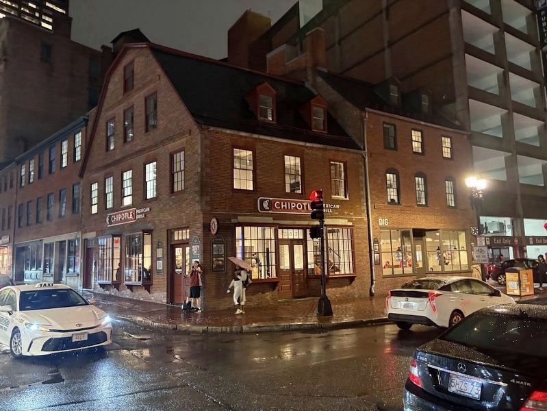
3. Old Corner Bookstore
The site was slated for demolition in 1960, but saved by a group of preservationists who acquired the building and kept it in commercial use.
Credits. This page was last revised on November 11, 2026. It was originally submitted on November 11, 2026, by Sean P. Flynn of Oak Park, Illinois. This page has been viewed 8 times since then. Photos: 1, 2, 3. submitted on November 11, 2026, by Sean P. Flynn of Oak Park, Illinois.
