Sioux City in Woodbury County, Iowa — The American Midwest (Upper Plains)
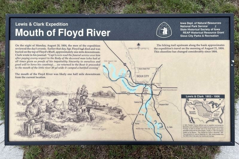
Mouth of Floyd River
Lewis & Clark Expedition
September 26, 2026
1. Mouth of Floyd River Marker
The mouth of the Floyd River was likely one half mile downstream from the current location.
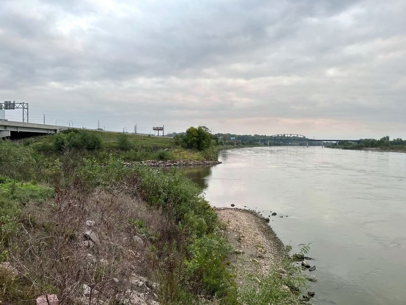
The hiking trail upstream along the bank approximates the expedition's travel on the morning of August 21, 1804. This shoreline has changed considerably since 1804.
Lewis & Clark 1803 - 1806
In 1803, President Thomas Jefferson sent an expedition commanded by Meriwether Lewis and William Clark to explore the newly acquired Louisiana Purchase, to seek an all-water route to the Pacific Ocean, and to make peaceable contact with the native peoples. On May 14, 1804, the explorers headed up the Missouri. They reached the Pacific in November, 1805. They returned to St. Louis on September 23, 1806, having traveled more than 8000 miles in two years, four months and nine days.
Erected by Iowa
this page online
Topics. This historical marker is listed in these topic lists: Exploration • Waterways & Vessels. A significant historical date for this entry is August 20, 1804.
Location. 42° 29.067′ N, 96° 23.586′ W. Marker is in Sioux City, Iowa, in Woodbury County. It can be reached from Floyd Boulevard west of Interstate 29. Located in Chris Larsen Park. Touch for map. Marker is at or near this postal address: 700 S Floyd Blvd, Sioux City IA 51101, United States of America. Touch for directions.

Regionally, this marker is in Western Iowa and in Loess Hills. It is also in the American Midwest, in the Lewis & Clark Corridor, and in the Corn Belt. Globally, it is in North America, the Western Hemisphere, the Western World, and the Anglosphere. Historically, it finds itself in what was once the territory of the Mississippian Culture and also the Louisiana Purchase.
Other nearby markers. At least 8 other markers are within walking distance of this marker: Lewis & Clark Floyd River Campsite Rock (a
September 26, 2026
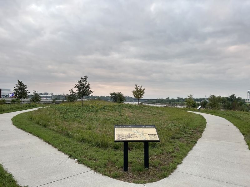
2. Mouth of Floyd River Marker
September 26, 2026
3. Mouth of Floyd River, in its current location
Credits. This page was last revised on November 12, 2026. It was originally submitted on November 11, 2026. This page has been viewed 4 times since then. Photos: 1, 2, 3. submitted on November 11, 2026.
