
Gettysburg in Adams County, Pennsylvania — The American Northeast (Mid-Atlantic)
First Municipal Water Supply
"grooved to fit at the ends"
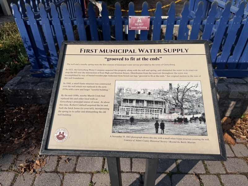
The well and a nearby spring were the first sources of municipal water service provided to the town of Gettys burg.
In 1822, the Gettysburg Water Company acquired this property along with the well and spring, and channeled the water to its reservoir atop the hill near the intersection of East High and Stratton Streets. Distribution from the reservoir throughout the town was accomplished by way of buried wooden pipe fashioned from bored-out logs "grooved to fit at the ends." See original section in the rear of this well foundation.
In 1860, a small frame structure was constructed over the well which was replaced in the early 1870s with a new and larger "tasteful building."
By the mid-1890s, nearby Marsh Creek had replaced this and other local wells as Gettysburg's principal source of water. At about this time. Robert Caldwell acquired the lot and built the brick home (to your left), incorporating the spring in its cellar and dismantling the old well building.
[Caption:]
A Novembe 19, 1863 photograph shows this site, with a small white frame structure covering the well.
Courtesy of Adams County Historical Society / Beyond the Battle Museum
Erected 2024
this page online
Topics and series. This historical marker is listed in these topic lists: Industry & Commerce • Natural Resources • Waterways & Vessels. In addition, it is included in the Pennsylvania, Main Street Gettysburg series list. A significant historical year for this entry is 1822.
Location. 39° 49.467′ N, 77° 13.868′ W. Marker is in Gettysburg, Pennsylvania, in Adams County. It is on Baltimore Street (Business U.S. 15) south of Locust Avenue, on the right when traveling south. Touch for map. Marker is at or near this postal address: 461 Baltimore St, Gettysburg PA 17325, United States of America. Touch for directions.

Regionally, this marker is in South-Central Pennsylvania. It is also in the American Northeast, in the Mid-Atlantic, in Appalachia, and specifically in Northern Appalachia. Globally, it is in North America, the Western Hemisphere, the Western World, and the Anglosphere. Historically, it finds itself in what was once the Haudenosaunee (Iroquois) Confederacy and also one of the original Thirteen Colonies.
Other nearby markers. At least 8 other markers are within
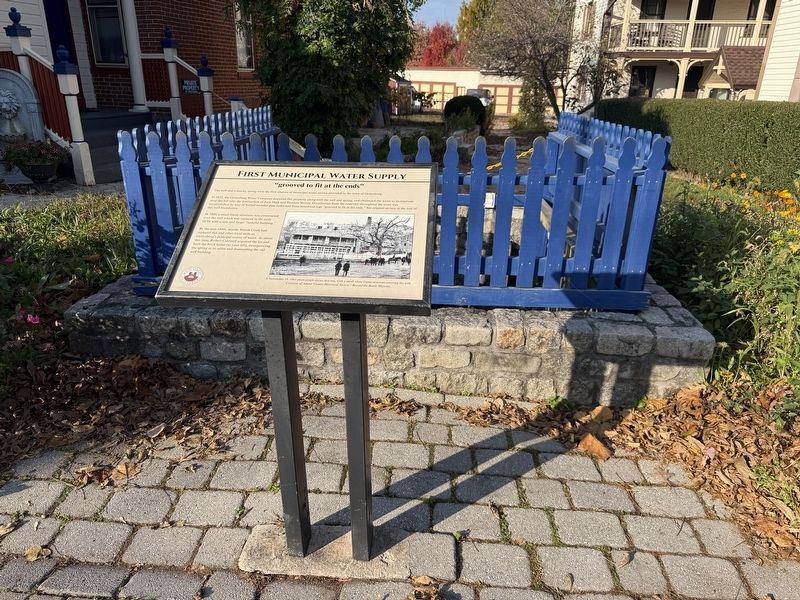
Other markers no longer nearby. Gettysburg's First Municipal Water Supply (was here, next to this marker but has been replaced with another marker now near it); The John Rupp House and Tannery Site (was within shouting distance of this marker but has been replaced with another marker now near it); The Wagon Hotel on Cemetery Hill (was within shouting distance of this marker but has been replaced with another marker now near it).
Related marker. Click here for another marker that is related to this marker. This marker has replaced the linked marker.
Credits. This page was last revised on November 12, 2026. It was originally submitted on November 12, 2026, by Devry Becker Jones of Washington, District of Columbia. This page has been viewed 12 times since then. Photos: 1, 2. submitted on November 12, 2026, by Devry Becker Jones of Washington, District of Columbia.
